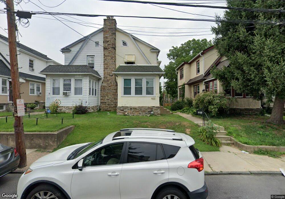
937 Bullock Ave Lansdowne, PA 19050
Estimated Value: $204,000 - $275,000
3
Beds
1
Bath
1,504
Sq Ft
$161/Sq Ft
Est. Value
About This Home
This home is located at 937 Bullock Ave, Lansdowne, PA 19050 and is currently estimated at $241,904, approximately $160 per square foot. 937 Bullock Ave is a home located in Delaware County with nearby schools including Evans Elementary School, Penn Wood Middle School, and Penn Wood High School - Cypress Street Campus.
Ownership History
Date
Name
Owned For
Owner Type
Purchase Details
Closed on
Feb 17, 2004
Sold by
Gruben David C
Bought by
Satterfield Terrence W
Current Estimated Value
Home Financials for this Owner
Home Financials are based on the most recent Mortgage that was taken out on this home.
Original Mortgage
$94,254
Interest Rate
5.56%
Mortgage Type
FHA
Create a Home Valuation Report for This Property
The Home Valuation Report is an in-depth analysis detailing your home's value as well as a comparison with similar homes in the area
Home Values in the Area
Average Home Value in this Area
Purchase History
| Date | Buyer | Sale Price | Title Company |
|---|---|---|---|
| Satterfield Terrence W | $95,000 | -- |
Source: Public Records
Mortgage History
| Date | Status | Borrower | Loan Amount |
|---|---|---|---|
| Previous Owner | Satterfield Terrence W | $94,254 |
Source: Public Records
Tax History Compared to Growth
Tax History
| Year | Tax Paid | Tax Assessment Tax Assessment Total Assessment is a certain percentage of the fair market value that is determined by local assessors to be the total taxable value of land and additions on the property. | Land | Improvement |
|---|---|---|---|---|
| 2025 | $4,960 | $116,150 | $32,400 | $83,750 |
| 2024 | $4,960 | $116,150 | $32,400 | $83,750 |
| 2023 | $4,504 | $116,150 | $32,400 | $83,750 |
| 2022 | $4,295 | $116,150 | $32,400 | $83,750 |
| 2021 | $6,495 | $116,150 | $32,400 | $83,750 |
| 2020 | $4,267 | $68,320 | $18,690 | $49,630 |
| 2019 | $4,192 | $68,320 | $18,690 | $49,630 |
| 2018 | $4,133 | $68,320 | $0 | $0 |
| 2017 | $4,047 | $68,320 | $0 | $0 |
| 2016 | $375 | $68,320 | $0 | $0 |
| 2015 | $375 | $68,320 | $0 | $0 |
| 2014 | $375 | $68,320 | $0 | $0 |
Source: Public Records
Map
Nearby Homes
- 932 Bullock Ave
- 939 Serrill Ave
- 921 Serrill Ave
- 908 Yeadon Ave
- 1021 Serrill Ave
- 932 Duncan Ave
- 923 Bell Ave
- 1049 Yeadon Ave
- 805 Yeadon Ave
- 800 Bullock Ave
- 1112 Serrill Ave
- 6718 Cobbs Creek Pkwy
- 740 Church Ln
- 6826 Cobbs Creek Pkwy
- 6535 Windsor St
- 729 Yeadon Ave
- 725 Yeadon Ave
- 6849 Chester Ave
- 6835 Chester Ave
- 6951 Chester Ave
- 935 Bullock Ave
- 939 Bullock Ave
- 933 Bullock Ave
- 941 Bullock Ave
- 931 Bullock Ave
- 943 Bullock Ave
- 929 Bullock Ave
- 945 Bullock Ave
- 936 Church Ln
- 930 Church Ln
- 927 Bullock Ave
- 947 Bullock Ave
- 925 Bullock Ave
- 942 Church Ln
- 936 Bullock Ave
- 949 Bullock Ave
- 934 Bullock Ave
- 938 Bullock Ave
- 940 Bullock Ave
- 924 Church Ln