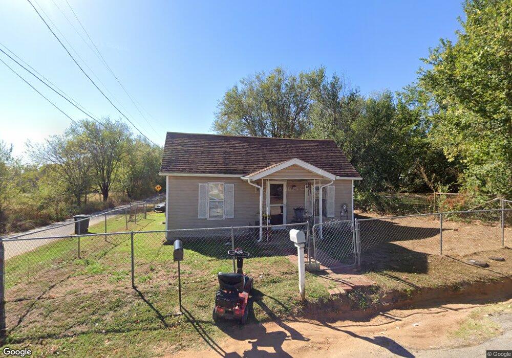
937 E Hayes St Shawnee, OK 74801
Estimated Value: $64,245 - $93,000
2
Beds
1
Bath
754
Sq Ft
$104/Sq Ft
Est. Value
About This Home
This home is located at 937 E Hayes St, Shawnee, OK 74801 and is currently estimated at $78,561, approximately $104 per square foot. 937 E Hayes St is a home located in Pottawatomie County with nearby schools including Horace Mann Elementary School, Shawnee Middle School, and Shawnee High School.
Ownership History
Date
Name
Owned For
Owner Type
Purchase Details
Closed on
Jul 23, 2025
Sold by
Deleon Barbara J
Bought by
Deleon Guadalupe and Deleon Natasha Denise
Current Estimated Value
Purchase Details
Closed on
Nov 12, 2010
Sold by
Gruette Steve
Bought by
Deleon Guadalupe
Purchase Details
Closed on
Jun 3, 2005
Sold by
Deleon Guadalupe and Deleon Barbara
Bought by
Martin Rosa
Purchase Details
Closed on
Jun 2, 2005
Sold by
Deleon Guadalupe and Deleon Barbara
Bought by
Martin Rosa
Purchase Details
Closed on
Jun 30, 2000
Sold by
Brokaw Jonell L
Bought by
Gruette Eugene
Create a Home Valuation Report for This Property
The Home Valuation Report is an in-depth analysis detailing your home's value as well as a comparison with similar homes in the area
Home Values in the Area
Average Home Value in this Area
Purchase History
| Date | Buyer | Sale Price | Title Company |
|---|---|---|---|
| Deleon Guadalupe | -- | None Listed On Document | |
| Deleon Guadalupe | -- | None Available | |
| Martin Rosa | -- | None Available | |
| Martin Rosa | -- | None Available | |
| Martin Rosa | -- | None Available | |
| Gruette Eugene | $10,000 | -- |
Source: Public Records
Tax History Compared to Growth
Tax History
| Year | Tax Paid | Tax Assessment Tax Assessment Total Assessment is a certain percentage of the fair market value that is determined by local assessors to be the total taxable value of land and additions on the property. | Land | Improvement |
|---|---|---|---|---|
| 2024 | $54 | $1,566 | $292 | $1,274 |
| 2023 | $54 | $1,521 | $287 | $1,234 |
| 2022 | $151 | $1,476 | $278 | $1,198 |
| 2021 | $142 | $1,476 | $278 | $1,198 |
| 2020 | $135 | $1,339 | $252 | $1,087 |
| 2019 | $133 | $1,275 | $240 | $1,035 |
| 2018 | $124 | $1,215 | $232 | $983 |
| 2017 | $117 | $1,157 | $222 | $935 |
| 2016 | $112 | $1,102 | $232 | $870 |
| 2015 | $105 | $1,050 | $244 | $806 |
| 2014 | $100 | $1,000 | $450 | $550 |
Source: Public Records
Map
Nearby Homes
- 209 S Eden Ave
- 209 S Ruth Ave
- 201 S Dixon Ave
- 418 S Penn Ave
- 405 S Minnesota Ave
- 515 E Oakland St
- 1015 E Main St
- 312 S Minnesota Ave
- 403 S Minnesota Ave
- 1201 E Main St
- 245 S Oklahoma Ave
- 628 S Philadelphia Ave
- 1600 E Farrall
- 1330 E Main St
- 1127 E 10th St
- 803 S Bell Ave
- 124 N Pesotum Ave
- 1103 E 11th St
- 1119 E 11th St
- 321 N Mckinley Ave
- 915 E Hayes St
- 912 E Bentley St
- 936 E Hayes St
- 934 E Hayes St
- 913 E Hayes St
- 930 E Hayes St
- 906 E Bentley St
- 908 E Hayes St
- 939 E Farrall
- 1011 E Farrall
- 951 E Farrall
- 906 E Hayes St
- 902 E Bentley St
- 911 E Bentley St
- 909 E Bentley St
- 957 E Farrall
- 945 E Farrall
- 907 E Bentley St
- 905 E Bentley St
- 903 E Bentley St