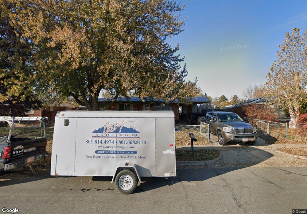
937 Garnet St Layton, UT 84041
Estimated Value: $442,172 - $465,000
3
Beds
2
Baths
1,624
Sq Ft
$280/Sq Ft
Est. Value
About This Home
This home is located at 937 Garnet St, Layton, UT 84041 and is currently estimated at $454,543, approximately $279 per square foot. 937 Garnet St is a home located in Davis County with nearby schools including Crestview Elementary School, Central Davis Junior High School, and Layton High School.
Ownership History
Date
Name
Owned For
Owner Type
Purchase Details
Closed on
Mar 13, 2025
Sold by
Carter David Mark and Carter Debbie Lynn
Bought by
Carter Family Trust and Carter
Current Estimated Value
Purchase Details
Closed on
Feb 26, 2024
Sold by
Hansen Dale W and Hansen Annamae K
Bought by
Carter David Mark and Carter Debbie Lynn
Home Financials for this Owner
Home Financials are based on the most recent Mortgage that was taken out on this home.
Original Mortgage
$332,000
Interest Rate
6.66%
Mortgage Type
Construction
Purchase Details
Closed on
May 27, 2005
Sold by
Quintana Jose P and Quintana Cordy L
Bought by
Hansen Dale W and Hansen Annamae K
Home Financials for this Owner
Home Financials are based on the most recent Mortgage that was taken out on this home.
Original Mortgage
$117,610
Interest Rate
8.45%
Mortgage Type
Fannie Mae Freddie Mac
Create a Home Valuation Report for This Property
The Home Valuation Report is an in-depth analysis detailing your home's value as well as a comparison with similar homes in the area
Home Values in the Area
Average Home Value in this Area
Purchase History
| Date | Buyer | Sale Price | Title Company |
|---|---|---|---|
| Carter Family Trust | -- | None Listed On Document | |
| Carter Family Trust | -- | None Listed On Document | |
| Carter David Mark | -- | Title Guarantee | |
| Hansen Dale W | -- | Backman Stewart Title Svcs |
Source: Public Records
Mortgage History
| Date | Status | Borrower | Loan Amount |
|---|---|---|---|
| Previous Owner | Carter David Mark | $332,000 | |
| Previous Owner | Hansen Dale W | $117,610 |
Source: Public Records
Tax History Compared to Growth
Tax History
| Year | Tax Paid | Tax Assessment Tax Assessment Total Assessment is a certain percentage of the fair market value that is determined by local assessors to be the total taxable value of land and additions on the property. | Land | Improvement |
|---|---|---|---|---|
| 2025 | $2,164 | $227,150 | $99,118 | $128,032 |
| 2024 | $2,081 | $219,999 | $115,664 | $104,335 |
| 2023 | $1,712 | $175,450 | $76,509 | $98,940 |
| 2022 | $1,788 | $329,000 | $132,856 | $196,144 |
| 2021 | $1,643 | $248,000 | $101,243 | $146,757 |
| 2020 | $1,485 | $215,000 | $85,715 | $129,285 |
| 2019 | $1,474 | $209,000 | $81,892 | $127,108 |
| 2018 | $1,320 | $188,000 | $81,892 | $106,108 |
| 2016 | $1,135 | $83,380 | $25,821 | $57,559 |
| 2015 | $1,066 | $74,305 | $25,821 | $48,484 |
| 2014 | $1,089 | $77,656 | $25,821 | $51,835 |
| 2013 | -- | $79,702 | $18,612 | $61,090 |
Source: Public Records
Map
Nearby Homes