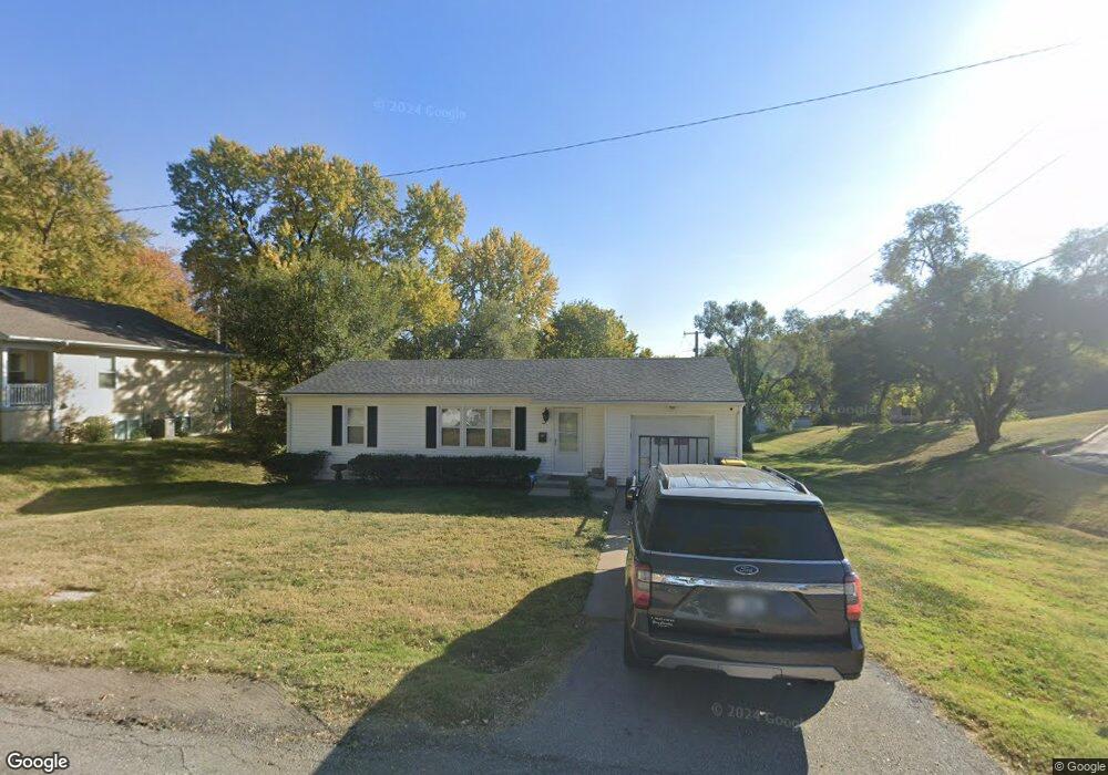
937 Hillside Ave Liberty, MO 64068
Estimated Value: $189,000 - $223,295
2
Beds
2
Baths
888
Sq Ft
$237/Sq Ft
Est. Value
About This Home
This home is located at 937 Hillside Ave, Liberty, MO 64068 and is currently estimated at $210,324, approximately $236 per square foot. 937 Hillside Ave is a home located in Clay County with nearby schools including Ridgeview Elementary School, Heritage Middle School, and Liberty North High School.
Ownership History
Date
Name
Owned For
Owner Type
Purchase Details
Closed on
Dec 14, 2023
Sold by
Odell Darla J
Bought by
Mose Roger E
Current Estimated Value
Purchase Details
Closed on
Mar 27, 2017
Sold by
Zeikle David and Zeikle Alice Faye
Bought by
Mose Roger E and Mose Darla J
Home Financials for this Owner
Home Financials are based on the most recent Mortgage that was taken out on this home.
Original Mortgage
$85,500
Interest Rate
4.17%
Mortgage Type
Future Advance Clause Open End Mortgage
Create a Home Valuation Report for This Property
The Home Valuation Report is an in-depth analysis detailing your home's value as well as a comparison with similar homes in the area
Home Values in the Area
Average Home Value in this Area
Purchase History
| Date | Buyer | Sale Price | Title Company |
|---|---|---|---|
| Mose Roger E | -- | Thomson Affinity Title | |
| Mose Roger E | -- | None Available |
Source: Public Records
Mortgage History
| Date | Status | Borrower | Loan Amount |
|---|---|---|---|
| Previous Owner | Mose Roger E | $85,500 |
Source: Public Records
Tax History
| Year | Tax Paid | Tax Assessment Tax Assessment Total Assessment is a certain percentage of the fair market value that is determined by local assessors to be the total taxable value of land and additions on the property. | Land | Improvement |
|---|---|---|---|---|
| 2025 | $1,703 | $28,560 | -- | -- |
| 2024 | $1,703 | $22,140 | -- | -- |
| 2023 | $1,732 | $22,140 | $0 | $0 |
| 2022 | $1,592 | $20,100 | $0 | $0 |
| 2021 | $1,580 | $20,102 | $4,750 | $15,352 |
| 2020 | $1,477 | $17,650 | $0 | $0 |
| 2019 | $1,420 | $16,970 | $0 | $0 |
| 2018 | $1,231 | $14,440 | $0 | $0 |
| 2017 | $1,219 | $14,440 | $3,230 | $11,210 |
| 2016 | $1,219 | $14,440 | $3,230 | $11,210 |
| 2015 | $1,220 | $14,440 | $3,230 | $11,210 |
| 2014 | $1,285 | $15,090 | $3,230 | $11,860 |
Source: Public Records
Map
Nearby Homes
- 936 Hillside Ave
- 804 Sunset Ave
- 194 Camelot Dr
- 36 N Ridge Ave
- 606 Thornton St
- 730 W College St
- 336 Georgia Ct
- 203 N Ridge Ave
- 1114 W Liberty Dr
- 318 Lakeside Dr
- 330 Lakeside Dr
- 304 Lancelot Dr
- 716 W Hurt St
- 1209 Liberty Drive Terrace
- 320 N Fairview Ave
- 506 Kings Ridge
- 324 Harrison St
- 1232 Old Manor Rd
- 523 Lancelot Dr
- 53 Fulkerson Cir
- 923 Hillside Ave
- 917 Hillside Ave
- 926 Elizabeth St
- 922 Elizabeth St
- 918 Elizabeth St
- 928 Hillside Ave
- 909 Hillside Ave
- 914 Elizabeth St
- 939 Sunset Ave
- 935 Sunset Ave
- 238 Range Line Rd
- 918 Hillside Ave
- 910 Elizabeth St
- 941 Elizabeth St
- 927 Sunset Ave
- 917 Elizabeth St
- 905 Hillside Ave
- 919 Sunset Ave
- 1014 Elizabeth St
- 913 Elizabeth St
Your Personal Tour Guide
Ask me questions while you tour the home.