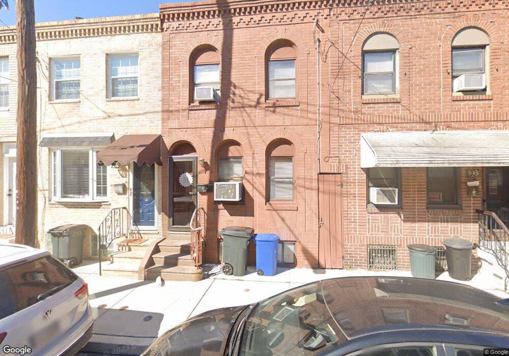
937 Hoffman St Philadelphia, PA 19148
East Passyunk NeighborhoodEstimated Value: $313,000 - $344,000
3
Beds
1
Bath
1,108
Sq Ft
$292/Sq Ft
Est. Value
About This Home
This home is located at 937 Hoffman St, Philadelphia, PA 19148 and is currently estimated at $323,852, approximately $292 per square foot. 937 Hoffman St is a home located in Philadelphia County with nearby schools including Southwark School, South Philadelphia High School, and Philadelphia Electrical & Tech Charter High School.
Ownership History
Date
Name
Owned For
Owner Type
Purchase Details
Closed on
Dec 20, 2024
Sold by
Milone Joseph A and Milone Jacqueline A
Bought by
Milone Joseph A
Current Estimated Value
Home Financials for this Owner
Home Financials are based on the most recent Mortgage that was taken out on this home.
Original Mortgage
$152,000
Interest Rate
6.85%
Mortgage Type
New Conventional
Purchase Details
Closed on
Oct 2, 1998
Sold by
Blase Bruce Q and Blase Dolores J
Bought by
Milone Joseph A and Milone Jacqueline A
Create a Home Valuation Report for This Property
The Home Valuation Report is an in-depth analysis detailing your home's value as well as a comparison with similar homes in the area
Home Values in the Area
Average Home Value in this Area
Purchase History
| Date | Buyer | Sale Price | Title Company |
|---|---|---|---|
| Milone Joseph A | -- | None Listed On Document | |
| Milone Joseph A | $43,000 | -- |
Source: Public Records
Mortgage History
| Date | Status | Borrower | Loan Amount |
|---|---|---|---|
| Previous Owner | Milone Joseph A | $152,000 |
Source: Public Records
Tax History Compared to Growth
Tax History
| Year | Tax Paid | Tax Assessment Tax Assessment Total Assessment is a certain percentage of the fair market value that is determined by local assessors to be the total taxable value of land and additions on the property. | Land | Improvement |
|---|---|---|---|---|
| 2025 | $1,092 | $307,400 | $61,480 | $245,920 |
| 2024 | $1,092 | $307,400 | $61,480 | $245,920 |
| 2023 | $1,092 | $280,800 | $56,160 | $224,640 |
| 2022 | $1,092 | $78,000 | $56,160 | $21,840 |
| 2021 | $1,092 | $0 | $0 | $0 |
| 2020 | $1,092 | $0 | $0 | $0 |
| 2019 | $1,092 | $0 | $0 | $0 |
| 2018 | $1,092 | $0 | $0 | $0 |
| 2017 | $1,092 | $0 | $0 | $0 |
| 2016 | $1,092 | $0 | $0 | $0 |
| 2015 | $832 | $0 | $0 | $0 |
| 2014 | -- | $123,900 | $10,249 | $113,651 |
| 2012 | -- | $8,320 | $675 | $7,645 |
Source: Public Records
Map
Nearby Homes
- 1905 S Alder St
- 1921 S 10th St
- 1832 S 9th St
- 1912 S 9th St
- 1934 S Warnock St
- 516 Pierce St
- 1124 Mifflin St
- 1011 Watkins St
- 1114 Pierce St
- 1912 S Sartain St
- 843 Mckean St
- 905 Emily St
- 909 Watkins St
- 2015 S Hutchinson St Unit 12
- 1936 S Sartain St
- 825 Pierce St
- 1927 S 12th St
- 1818 S 8th St
- 1822 S 12th St
- 1031 Morris St