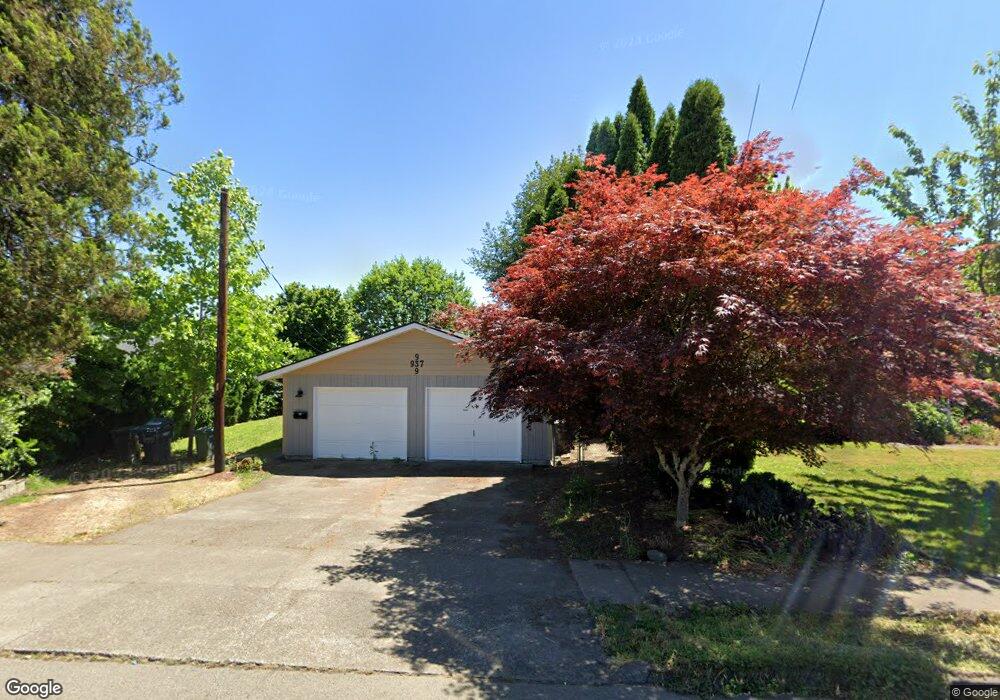
937 Main St E Monmouth, OR 97361
Estimated Value: $459,349 - $527,000
5
Beds
2
Baths
1,977
Sq Ft
$249/Sq Ft
Est. Value
About This Home
This home is located at 937 Main St E, Monmouth, OR 97361 and is currently estimated at $491,587, approximately $248 per square foot. 937 Main St E is a home located in Polk County with nearby schools including Monmouth Elementary School, Talmadge Middle School, and Central High School.
Ownership History
Date
Name
Owned For
Owner Type
Purchase Details
Closed on
Sep 16, 2005
Sold by
Paulsen Larita L M
Bought by
Kolenc Peter and Slaton Kolenc Janell R
Current Estimated Value
Home Financials for this Owner
Home Financials are based on the most recent Mortgage that was taken out on this home.
Original Mortgage
$110,400
Interest Rate
5.93%
Mortgage Type
Fannie Mae Freddie Mac
Create a Home Valuation Report for This Property
The Home Valuation Report is an in-depth analysis detailing your home's value as well as a comparison with similar homes in the area
Home Values in the Area
Average Home Value in this Area
Purchase History
| Date | Buyer | Sale Price | Title Company |
|---|---|---|---|
| Kolenc Peter | $138,000 | First American Title |
Source: Public Records
Mortgage History
| Date | Status | Borrower | Loan Amount |
|---|---|---|---|
| Previous Owner | Kolenc Peter | $110,400 |
Source: Public Records
Tax History
| Year | Tax Paid | Tax Assessment Tax Assessment Total Assessment is a certain percentage of the fair market value that is determined by local assessors to be the total taxable value of land and additions on the property. | Land | Improvement |
|---|---|---|---|---|
| 2025 | $3,166 | $192,040 | $60,310 | $131,730 |
| 2024 | $3,166 | $186,450 | $58,550 | $127,900 |
| 2023 | $3,298 | $181,020 | $56,850 | $124,170 |
| 2022 | $2,968 | $175,750 | $55,200 | $120,550 |
| 2021 | $2,934 | $170,640 | $53,590 | $117,050 |
| 2020 | $2,818 | $165,670 | $52,030 | $113,640 |
| 2019 | $2,736 | $160,850 | $50,520 | $110,330 |
| 2018 | $2,642 | $156,170 | $49,050 | $107,120 |
| 2017 | $2,627 | $151,630 | $47,620 | $104,010 |
| 2016 | $2,684 | $147,220 | $46,240 | $100,980 |
Source: Public Records
Map
Nearby Homes
- 952 Main St E
- 790 Clay St E
- 738 E Fen Way
- 1329 Price Ln E
- 191 Catron St S
- 145 Ecols St N
- 1328 Alberta Ave E
- 355 Jacobson Ct S
- 406 Madrona (-408) St E
- 1176 Gwinn St E
- 151 Edwards Rd S
- 615 Sacre Ln N
- 151 Edwards (#146) Rd S Unit 146
- 1115 Gwinn St E
- 1515 Bentley St E
- 271 Clay St E
- 277 Edwards Rd S Unit 145
- 631 Martin Way S
- 1390 Gwinn St E
- 505 Broad St S
- 136 Heffley St S
- 909 Main St E
- 883 Main St E
- 170 Heffley St S
- 869 Main St E
- 908 Clay St E
- 1005 Main St E
- 145 Craven St S
- 187 Craven St S
- 910 Main St E
- 956 Clay St E
- 1009 Main St E
- 866 Clay St E
- 183 Heffley St S
- 112 Craven St S
- 120 Craven St N
- 120 & 122 Craven St
- 110 Craven St N
- 110 & 112 Craven St
- 158 Heffley St N
Your Personal Tour Guide
Ask me questions while you tour the home.