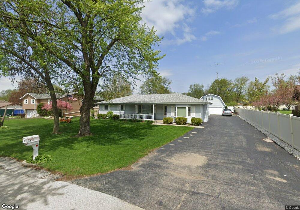
937 Regent St Unit 5 New Lenox, IL 60451
Estimated Value: $357,980 - $477,000
--
Bed
--
Bath
--
Sq Ft
0.48
Acres
About This Home
This home is located at 937 Regent St Unit 5, New Lenox, IL 60451 and is currently estimated at $417,995. 937 Regent St Unit 5 is a home located in Will County with nearby schools including Bentley Elementary School, Arnold J Tyler School, and Alex M Martino Jr High School.
Ownership History
Date
Name
Owned For
Owner Type
Purchase Details
Closed on
Jun 25, 1998
Sold by
Va
Bought by
Bankers Trust Company Of California Na and Vendee Mtg Trust 1998-2
Current Estimated Value
Purchase Details
Closed on
Jun 23, 1997
Sold by
Ward Brendan D
Bought by
Va
Purchase Details
Closed on
Dec 23, 1994
Sold by
Wight Lawrence A and Wight Carolyn G
Bought by
Todd Donald V and Todd Ronette V
Home Financials for this Owner
Home Financials are based on the most recent Mortgage that was taken out on this home.
Original Mortgage
$140,595
Interest Rate
9.23%
Mortgage Type
Assumption
Create a Home Valuation Report for This Property
The Home Valuation Report is an in-depth analysis detailing your home's value as well as a comparison with similar homes in the area
Home Values in the Area
Average Home Value in this Area
Purchase History
| Date | Buyer | Sale Price | Title Company |
|---|---|---|---|
| Bankers Trust Company Of California Na | -- | -- | |
| Va | -- | -- | |
| Todd Donald V | $136,500 | Chicago Title Insurance Co |
Source: Public Records
Mortgage History
| Date | Status | Borrower | Loan Amount |
|---|---|---|---|
| Previous Owner | Todd Donald V | $140,595 |
Source: Public Records
Tax History Compared to Growth
Tax History
| Year | Tax Paid | Tax Assessment Tax Assessment Total Assessment is a certain percentage of the fair market value that is determined by local assessors to be the total taxable value of land and additions on the property. | Land | Improvement |
|---|---|---|---|---|
| 2024 | $7,880 | $116,709 | $33,966 | $82,743 |
| 2023 | $7,880 | $106,390 | $30,963 | $75,427 |
| 2022 | $5,820 | $98,010 | $28,524 | $69,486 |
| 2021 | $5,896 | $92,175 | $26,826 | $65,349 |
| 2020 | $5,952 | $88,886 | $25,869 | $63,017 |
| 2019 | $5,886 | $86,130 | $25,067 | $61,063 |
| 2018 | $5,968 | $83,161 | $24,203 | $58,958 |
| 2017 | $5,843 | $80,770 | $23,507 | $57,263 |
| 2016 | $5,657 | $78,608 | $22,878 | $55,730 |
| 2015 | $5,423 | $76,134 | $22,158 | $53,976 |
| 2014 | $5,423 | $75,194 | $21,884 | $53,310 |
| 2013 | $5,423 | $76,208 | $22,179 | $54,029 |
Source: Public Records
Map
Nearby Homes
- 214 Somerset Ct
- 1535 Glenbrooke Ln
- 1351 E Lincoln Hwy
- 125 N Anderson Rd
- 701 Bishops Gate
- 641 Lisson Grove
- 513 Somerset Ln
- 449 Somerset Ln Unit 1
- 1017 E Lincoln Hwy
- 1212 Georgias Way
- 1245 Georgias Way
- 1193 Georgias Way
- 1139 Georgias Way
- 1125 Georgias Way
- 203 Tonell Ave
- 651 Schooner Dr
- 621 Chatfield Rd
- 920 Barnside Rd
- 235 Roberts Rd
- 1920 Tessington Ct