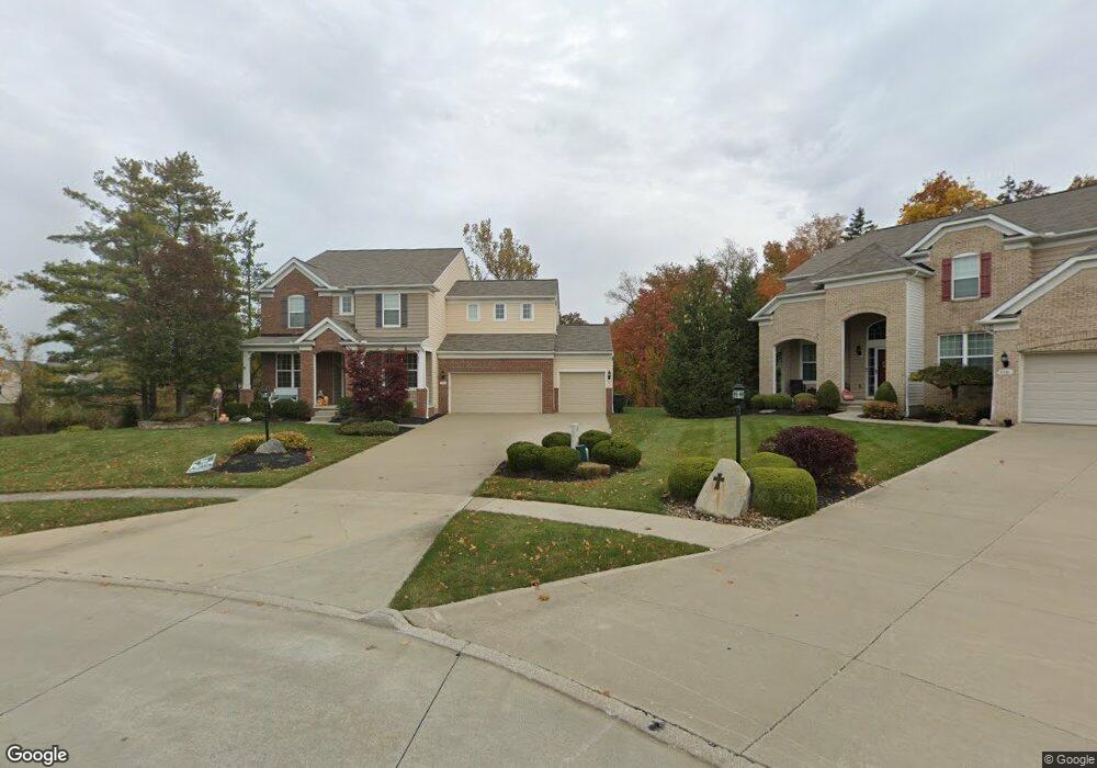
9374 Durian Cir Strongsville, OH 44136
Estimated Value: $482,000 - $654,000
4
Beds
3
Baths
3,467
Sq Ft
$172/Sq Ft
Est. Value
About This Home
This home is located at 9374 Durian Cir, Strongsville, OH 44136 and is currently estimated at $596,387, approximately $172 per square foot. 9374 Durian Cir is a home with nearby schools including Strongsville High School, Sts Joseph & John Interparochial School, and Bethel Christian Academy.
Ownership History
Date
Name
Owned For
Owner Type
Purchase Details
Closed on
Nov 4, 2011
Sold by
Pulte Homes Of Ohio Llc
Bought by
Potoczak Scott C and Potoczak Susan M
Current Estimated Value
Home Financials for this Owner
Home Financials are based on the most recent Mortgage that was taken out on this home.
Original Mortgage
$320,357
Interest Rate
4.01%
Mortgage Type
New Conventional
Create a Home Valuation Report for This Property
The Home Valuation Report is an in-depth analysis detailing your home's value as well as a comparison with similar homes in the area
Home Values in the Area
Average Home Value in this Area
Purchase History
| Date | Buyer | Sale Price | Title Company |
|---|---|---|---|
| Potoczak Scott C | $355,953 | Resource Title Agency |
Source: Public Records
Mortgage History
| Date | Status | Borrower | Loan Amount |
|---|---|---|---|
| Closed | Potoczak Scott C | $320,357 |
Source: Public Records
Tax History Compared to Growth
Tax History
| Year | Tax Paid | Tax Assessment Tax Assessment Total Assessment is a certain percentage of the fair market value that is determined by local assessors to be the total taxable value of land and additions on the property. | Land | Improvement |
|---|---|---|---|---|
| 2024 | $9,625 | $204,995 | $41,475 | $163,520 |
| 2023 | $9,271 | $148,060 | $30,700 | $117,360 |
| 2022 | $9,203 | $148,050 | $30,700 | $117,360 |
| 2021 | $9,131 | $148,050 | $30,700 | $117,360 |
| 2020 | $9,647 | $138,390 | $28,700 | $109,690 |
| 2019 | $9,364 | $395,400 | $82,000 | $313,400 |
| 2018 | $8,499 | $138,390 | $28,700 | $109,690 |
| 2017 | $8,296 | $125,060 | $21,980 | $103,080 |
| 2016 | $8,229 | $125,060 | $21,980 | $103,080 |
| 2015 | $8,102 | $125,060 | $21,980 | $103,080 |
| 2014 | $8,102 | $121,420 | $21,350 | $100,070 |
Source: Public Records
Map
Nearby Homes
- 9129 Tahoe Cir
- 9890 Webster Rd
- 10010 Chevy Chase
- 9945 Twelve Oaks Cir
- 9531 Nicole Cir
- 10369 Council Bluff
- 15485 Albion Rd
- 0 Webster Rd
- Buchanan Plan at The Enclave at Pine Lakes Crossing
- Belleville Plan at The Enclave at Pine Lakes Crossing
- 16519 Albion Rd
- 14069 Basswood Cir
- 13976 W Sprague Rd
- 14015 Byron Blvd
- 7685 Saratoga Rd
- 14584 Baywood Ln
- 14557 Baywood Ln
- 14644 Baywood Ln
- 18203 Broxton Dr
- 18433 Whitney Rd
- 9381 Durian Cir
- 9370 Durian Cir
- 9385 Durian Cir
- 9366 Sagamore Cir
- 9389 Sagamore Cir
- 9362 Sagamore Cir
- 9381 Sagamore Cir
- 9393 Sagamore Cir
- 9105 Eldorado Trail
- 9153 Tahoe Cir
- 9153 Tahoe Cir Unit 25
- 9377 Sagamore Cir
- 9358 Sagamore Cir
- 9097 Eldorado Trail
- 9097 Eldorado Trail Unit 16
- 9111 Eldorado Trail
- 9159 Tahoe Cir
- 9159 Tahoe Cir Unit 26
- 9147 Tahoe Cir
- 9147 Tahoe Cir Unit 24