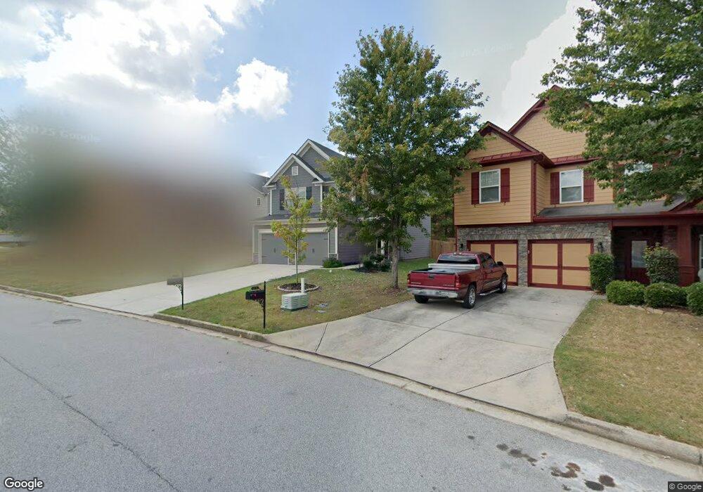
9377 Opal Dr Unit 53E Douglasville, GA 30135
Estimated Value: $335,374 - $394,000
3
Beds
3
Baths
2,010
Sq Ft
$176/Sq Ft
Est. Value
About This Home
This home is located at 9377 Opal Dr Unit 53E, Douglasville, GA 30135 and is currently estimated at $353,844, approximately $176 per square foot. 9377 Opal Dr Unit 53E is a home located in Douglas County with nearby schools including Mt. Carmel Elementary School, Chestnut Log Middle School, and New Manchester High School.
Ownership History
Date
Name
Owned For
Owner Type
Purchase Details
Closed on
Jan 31, 2018
Sold by
Kerley Fam Homes Llc
Bought by
Allender Biff and Murphy Phillips Felicia
Current Estimated Value
Home Financials for this Owner
Home Financials are based on the most recent Mortgage that was taken out on this home.
Original Mortgage
$179,082
Outstanding Balance
$151,207
Interest Rate
3.87%
Mortgage Type
FHA
Estimated Equity
$202,637
Purchase Details
Closed on
Jan 11, 2016
Sold by
Calatlantic Grp Inc
Bought by
Kerley Family Homes Llc
Create a Home Valuation Report for This Property
The Home Valuation Report is an in-depth analysis detailing your home's value as well as a comparison with similar homes in the area
Home Values in the Area
Average Home Value in this Area
Purchase History
| Date | Buyer | Sale Price | Title Company |
|---|---|---|---|
| Allender Biff | $182,386 | -- | |
| Kerley Family Homes Llc | $360,000 | -- |
Source: Public Records
Mortgage History
| Date | Status | Borrower | Loan Amount |
|---|---|---|---|
| Open | Allender Biff | $179,082 |
Source: Public Records
Tax History Compared to Growth
Tax History
| Year | Tax Paid | Tax Assessment Tax Assessment Total Assessment is a certain percentage of the fair market value that is determined by local assessors to be the total taxable value of land and additions on the property. | Land | Improvement |
|---|---|---|---|---|
| 2024 | $5,978 | $143,840 | $27,000 | $116,840 |
| 2023 | $5,978 | $143,840 | $27,000 | $116,840 |
| 2022 | $4,722 | $116,400 | $18,000 | $98,400 |
| 2021 | $4,372 | $107,360 | $19,600 | $87,760 |
| 2020 | $3,321 | $80,040 | $14,560 | $65,480 |
| 2019 | $2,867 | $78,200 | $14,560 | $63,640 |
| 2018 | $2,692 | $68,040 | $7,120 | $60,920 |
| 2017 | $320 | $8,000 | $8,000 | $0 |
| 2016 | $213 | $5,240 | $5,240 | $0 |
| 2015 | $203 | $4,840 | $4,840 | $0 |
| 2014 | $199 | $4,840 | $4,840 | $0 |
| 2013 | -- | $7,440 | $7,440 | $0 |
Source: Public Records
Map
Nearby Homes
- 9377 Opal Dr
- 9375 Opal Dr
- 5066 Irvine Dr Unit 1
- 5068 Irvine Dr Unit 1
- 9373 Opal Dr
- 5070 Irvine Dr
- 5072 Irvine Dr Unit 49E
- 5061 Saphire Ct
- 5062 Irvine Dr
- 9371 Opal Dr
- 2501 Canter Ln
- 5074 Irvine Dr
- 5074 Irvine Dr Unit 48
- 9369 Opal Dr
- 9369 Opal Dr Unit 1
- 5060 Irvine Dr Unit 12E
- 5060 Irvine Dr Unit 121E
- 5059 Saphire Ct Unit 118
- 5059 Saphire Ct Unit 5059
- 5059 Saphire Ct