938 Baker Branch Rd Clarkesville, GA 30523
Estimated Value: $369,000 - $2,989,786
3
Beds
1
Bath
1,100
Sq Ft
$1,527/Sq Ft
Est. Value
About This Home
This home is located at 938 Baker Branch Rd, Clarkesville, GA 30523 and is currently estimated at $1,679,393, approximately $1,526 per square foot. 938 Baker Branch Rd is a home located in Habersham County with nearby schools including Clarkesville Elementary School, North Habersham Middle School, and Habersham Success Academy.
Ownership History
Date
Name
Owned For
Owner Type
Purchase Details
Closed on
May 19, 2023
Sold by
High Valley Camp Llc
Bought by
Making It Real Llc
Current Estimated Value
Purchase Details
Closed on
Jan 31, 2012
Sold by
High Valley Camp Llc
Bought by
Johnson Norman W and Johnson Katherine M
Purchase Details
Closed on
Dec 1, 2007
Sold by
Not Provided
Bought by
High Valley Camp
Create a Home Valuation Report for This Property
The Home Valuation Report is an in-depth analysis detailing your home's value as well as a comparison with similar homes in the area
Home Values in the Area
Average Home Value in this Area
Purchase History
| Date | Buyer | Sale Price | Title Company |
|---|---|---|---|
| Making It Real Llc | $5,945,000 | -- | |
| Johnson Norman W | $1,750,000 | -- | |
| High Valley Camp | -- | -- |
Source: Public Records
Tax History Compared to Growth
Tax History
| Year | Tax Paid | Tax Assessment Tax Assessment Total Assessment is a certain percentage of the fair market value that is determined by local assessors to be the total taxable value of land and additions on the property. | Land | Improvement |
|---|---|---|---|---|
| 2025 | $17,045 | $705,581 | $443,378 | $262,203 |
| 2024 | $17,583 | $677,436 | $411,308 | $266,128 |
| 2023 | $15,776 | $631,000 | $411,308 | $219,692 |
| 2022 | $14,443 | $553,896 | $365,608 | $188,288 |
| 2021 | $5,089 | $532,748 | $365,608 | $167,140 |
| 2020 | $4,634 | $509,264 | $365,608 | $143,656 |
| 2019 | $4,668 | $509,264 | $365,608 | $143,656 |
| 2018 | $4,632 | $511,200 | $365,608 | $145,592 |
| 2017 | $4,236 | $496,316 | $365,608 | $130,708 |
| 2016 | $1,887 | $180,910 | $365,608 | $46,112 |
| 2015 | $1,846 | $179,070 | $365,608 | $46,112 |
| 2014 | $1,839 | $175,160 | $365,608 | $45,284 |
| 2013 | -- | $410,892 | $365,608 | $45,284 |
Source: Public Records
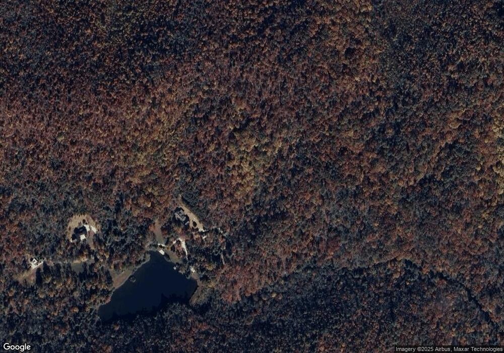
Map
Nearby Homes
- 0 Benfield Ln Unit 10599663
- 2001 Chimney Mtn Flats Trail
- 2001 Chimney Mountain
- 112 Springhill Ln
- 130 Cove View Ln
- 90 Cove View Ln
- 110 Wilderness End
- 605 Wildcat Rd
- 0 Wilderness End NW
- 117 Ivy Ridge Way
- 0 Ivy Ridge Unit 10528111
- 220 Brookwood Ln
- 132 Summit Ridge Dr
- 4242 Georgia 197
- 170 Henry Pittman Rd
- 3.07 ACRES Ann's Alley
- 888 Moccasin Creek Rd
- 4960 Laurel Lodge Rd Unit LOT 29
- 4960 Laurel Lodge Rd Unit LOT 2
- 4960 Laurel Lodge Rd Unit 46