938 Cornelius Rd Nashville, GA 31639
Estimated Value: $100,000 - $234,000
--
Bed
1
Bath
1,572
Sq Ft
$113/Sq Ft
Est. Value
About This Home
This home is located at 938 Cornelius Rd, Nashville, GA 31639 and is currently estimated at $177,333, approximately $112 per square foot. 938 Cornelius Rd is a home located in Berrien County with nearby schools including Berrien Primary School, Berrien Elementary School, and Berrien Middle School.
Ownership History
Date
Name
Owned For
Owner Type
Purchase Details
Closed on
May 28, 2015
Sold by
Shaw Edward and Shaw Sally
Bought by
Shasteen Kim and Shasteen Scott
Current Estimated Value
Purchase Details
Closed on
Mar 19, 2001
Sold by
Ornelius Chester
Bought by
Shasteen Kim and Shasteen Scot
Purchase Details
Closed on
Jun 2, 2000
Sold by
Cornelius Clarence
Bought by
Cornelius Chester
Purchase Details
Closed on
Jun 21, 1996
Sold by
Mark Lee Morris
Bought by
Cornelius Clarence
Purchase Details
Closed on
Feb 22, 1994
Bought by
Mark Lee Morris
Create a Home Valuation Report for This Property
The Home Valuation Report is an in-depth analysis detailing your home's value as well as a comparison with similar homes in the area
Home Values in the Area
Average Home Value in this Area
Purchase History
| Date | Buyer | Sale Price | Title Company |
|---|---|---|---|
| Shasteen Kim | -- | -- | |
| Shasteen Kim | -- | -- | |
| Shasteen Kim | $10,000 | -- | |
| Cornelius Chester | $20,000 | -- | |
| Cornelius Clarence | $25,400 | -- | |
| Mark Lee Morris | $28,000 | -- |
Source: Public Records
Tax History Compared to Growth
Tax History
| Year | Tax Paid | Tax Assessment Tax Assessment Total Assessment is a certain percentage of the fair market value that is determined by local assessors to be the total taxable value of land and additions on the property. | Land | Improvement |
|---|---|---|---|---|
| 2024 | $287 | $11,168 | $2,454 | $8,714 |
| 2023 | $288 | $11,168 | $2,454 | $8,714 |
| 2022 | $288 | $11,168 | $2,454 | $8,714 |
| 2021 | $290 | $11,168 | $2,454 | $8,714 |
| 2020 | $291 | $11,168 | $2,454 | $8,714 |
| 2019 | $291 | $11,168 | $2,454 | $8,714 |
| 2018 | $344 | $11,168 | $2,454 | $8,714 |
| 2017 | $291 | $11,168 | $2,454 | $8,714 |
| 2016 | $282 | $11,168 | $2,454 | $8,714 |
| 2015 | -- | $10,888 | $2,174 | $8,714 |
| 2014 | -- | $10,888 | $2,174 | $8,714 |
| 2013 | -- | $10,888 | $2,174 | $8,714 |
Source: Public Records
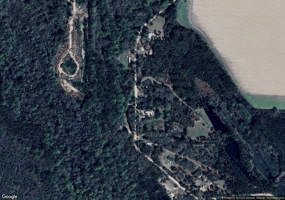
Map
Nearby Homes
- 3037 Lonnie Grimsley Rd
- 0 Mclendon Rd
- 0 Lumby Smith Rd
- 131 Lakeview Ct
- 11010 Barneyville Rd
- 13.89 ac Lumby Smith & Hwy 37
- 1918 Register Rd
- 1296 Boone Rd
- 8422 Massee Post Rd
- 349 Sand Ridge Ln
- 1510 Cecil Rd
- 1507 S Dogwood Dr
- 1309 S Dogwood Dr
- 1102 S Dogwood Dr
- 137 Hood Dr
- 713 Pall Mall Place
- 1410 Forest Way
- 401 Janice Ave
- 612 W Dennis Ave
- 624 W Washington Ave
- 906 Cornelius Rd
- 879 Cornelius Rd
- 1020 Cornelius Rd
- 830 Cornelius Rd
- 754 Cornelius Rd
- 622 Cornelius Rd
- 357 Cornelius Rd
- 407 Highland Cir
- 413 New River Rd
- 221 Bobby Kent Rd
- 640 Highland Cir
- 192 Bobby Kent Rd
- 244 Bobby Kent Rd
- 437 New River Rd
- 6068 North Hwy
- 515 Highland Cir
- 245 Bobby Kent Rd
- 243 Bobby Kent Rd
- 473 Cornelius Rd
- 299 Bobby Kent Rd