938 Graces Cove Rd Block Island, RI 02807
Estimated Value: $1,366,430 - $2,431,000
3
Beds
2
Baths
1,344
Sq Ft
$1,338/Sq Ft
Est. Value
About This Home
This home is located at 938 Graces Cove Rd, Block Island, RI 02807 and is currently estimated at $1,797,608, approximately $1,337 per square foot. 938 Graces Cove Rd is a home with nearby schools including Block Island School.
Ownership History
Date
Name
Owned For
Owner Type
Purchase Details
Closed on
Sep 28, 2007
Sold by
Clough Mark S
Bought by
Sohl Raymond G and Aillon-Sohl Lara M
Current Estimated Value
Home Financials for this Owner
Home Financials are based on the most recent Mortgage that was taken out on this home.
Original Mortgage
$109,990
Outstanding Balance
$70,240
Interest Rate
6.65%
Estimated Equity
$1,727,368
Create a Home Valuation Report for This Property
The Home Valuation Report is an in-depth analysis detailing your home's value as well as a comparison with similar homes in the area
Home Values in the Area
Average Home Value in this Area
Purchase History
| Date | Buyer | Sale Price | Title Company |
|---|---|---|---|
| Sohl Raymond G | $1,101,100 | -- |
Source: Public Records
Mortgage History
| Date | Status | Borrower | Loan Amount |
|---|---|---|---|
| Open | Sohl Raymond G | $109,990 | |
| Open | Sohl Raymond G | $880,000 |
Source: Public Records
Tax History Compared to Growth
Tax History
| Year | Tax Paid | Tax Assessment Tax Assessment Total Assessment is a certain percentage of the fair market value that is determined by local assessors to be the total taxable value of land and additions on the property. | Land | Improvement |
|---|---|---|---|---|
| 2024 | $5,967 | $1,081,000 | $1,010,700 | $70,300 |
| 2023 | $6,508 | $1,081,000 | $1,010,700 | $70,300 |
| 2022 | $6,766 | $955,680 | $899,120 | $56,560 |
| 2021 | $6,403 | $955,680 | $899,120 | $56,560 |
| 2020 | $6,078 | $955,680 | $899,120 | $56,560 |
| 2019 | $5,887 | $955,680 | $899,120 | $56,560 |
| 2018 | $5,647 | $949,040 | $897,200 | $51,840 |
| 2017 | $5,561 | $949,040 | $897,200 | $51,840 |
| 2016 | $5,429 | $949,040 | $897,200 | $51,840 |
| 2015 | $6,553 | $1,189,300 | $1,121,500 | $67,800 |
| 2014 | $6,351 | $1,189,300 | $1,121,500 | $67,800 |
| 2013 | $6,196 | $1,189,300 | $1,121,500 | $67,800 |
Source: Public Records
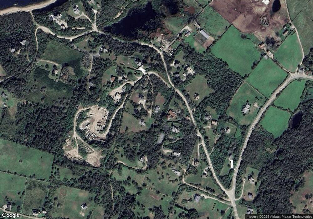
Map
Nearby Homes
- 1210 Graces Cove Rd
- 1557 W Side Rd
- 0 Coast Guard Rd
- 1596 W Side Rd
- 1501 Beacon Hill Rd
- 1328 Cooneymus Rd
- 481 Old Town Rd
- 1087 Lakeside Dr
- 1743 Corn Neck Rd
- 1713 Corn Neck Rd
- 1720 Corn Neck Rd
- 721 Corn Neck Rd
- 256 High St
- 1661 Sand Pond Rd
- 1289 High St
- 1078 W Beach Rd
- 194 Pilot Hill Rd
- 0 Snake Hole Rd
- 1448 Mohegan Trail
- 1035 Mohegan Trail
- 936 Graces Cove Rd
- 937 Graces Cove Rd
- 937 Grace's Cove Rd
- 939 Graces Cove Rd
- 934 Graces Cove Rd
- 944 Grace Cove Rd
- 1108 Graces Cove Rd
- 1239 Graces Cove Rd
- 1167 Graces Cove Rd
- 1520 Graces Cove Rd
- 933 Graces Cove Rd
- 1569 Graces Cove Rd
- 1510 Graces Cove Rd
- 1156 Graces Cove Rd
- 1011 Graces Cove Rd
- 1270 W Side Rd
- 1012 W Side Rd
- 1593 W Side Rd
- 1524 W Side Rd
- 1583 W Side Rd