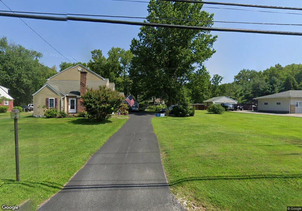
938 Naamans Creek Rd Garnet Valley, PA 19060
Estimated Value: $641,000 - $820,000
5
Beds
4
Baths
3,496
Sq Ft
$213/Sq Ft
Est. Value
About This Home
This home is located at 938 Naamans Creek Rd, Garnet Valley, PA 19060 and is currently estimated at $745,668, approximately $213 per square foot. 938 Naamans Creek Rd is a home located in Delaware County with nearby schools including Garnet Valley High School, Concord Christian Academy, and St Cornelius School.
Ownership History
Date
Name
Owned For
Owner Type
Purchase Details
Closed on
Jan 31, 2020
Sold by
Morgan Home Management Llc
Bought by
Morgan Jeffrey and Morgan Caitlin S
Current Estimated Value
Purchase Details
Closed on
May 6, 2016
Sold by
Pyle Robert R and Estate Of June B Pyle
Bought by
Pyle Robert R and Pyle Robert R
Purchase Details
Closed on
Sep 28, 2001
Sold by
Salladini James
Bought by
Pyle June B and Pyle Robert R
Home Financials for this Owner
Home Financials are based on the most recent Mortgage that was taken out on this home.
Original Mortgage
$125,000
Interest Rate
6.47%
Mortgage Type
Purchase Money Mortgage
Create a Home Valuation Report for This Property
The Home Valuation Report is an in-depth analysis detailing your home's value as well as a comparison with similar homes in the area
Home Values in the Area
Average Home Value in this Area
Purchase History
| Date | Buyer | Sale Price | Title Company |
|---|---|---|---|
| Morgan Jeffrey | -- | Global Title Inc | |
| Pyle Robert R | -- | Attorney | |
| Pyle June B | $289,900 | First American Title Ins Co |
Source: Public Records
Mortgage History
| Date | Status | Borrower | Loan Amount |
|---|---|---|---|
| Previous Owner | Pyle June B | $125,000 |
Source: Public Records
Tax History Compared to Growth
Tax History
| Year | Tax Paid | Tax Assessment Tax Assessment Total Assessment is a certain percentage of the fair market value that is determined by local assessors to be the total taxable value of land and additions on the property. | Land | Improvement |
|---|---|---|---|---|
| 2025 | $8,830 | $376,850 | $125,790 | $251,060 |
| 2024 | $8,830 | $376,850 | $125,790 | $251,060 |
| 2023 | $8,625 | $376,850 | $125,790 | $251,060 |
| 2022 | $8,532 | $376,850 | $125,790 | $251,060 |
| 2021 | $14,236 | $376,850 | $125,790 | $251,060 |
| 2020 | $7,965 | $195,380 | $57,700 | $137,680 |
| 2019 | $7,851 | $195,380 | $57,700 | $137,680 |
| 2018 | $7,731 | $195,380 | $0 | $0 |
| 2017 | $7,584 | $195,380 | $0 | $0 |
| 2016 | $1,094 | $195,380 | $0 | $0 |
| 2015 | $1,094 | $195,380 | $0 | $0 |
| 2014 | $1,094 | $195,380 | $0 | $0 |
Source: Public Records
Map
Nearby Homes
- 312 Winterset Rd
- 904 Quarter Mile Post
- 1806 Half Mile Post S
- 4 Rigby Ct
- 920 Lamberhurst Close
- 514 Harness Way
- 3671 Marian Dr
- 64 Kirk Rd
- 20 Winterset Rd
- 28 Winterset Rd
- 34 Winterset Rd Unit 11
- 31 N Ellis Rd Unit A031
- 523 Canter Rd
- 919 Alpha Rd Unit 59
- 1004 Sulky Rd Unit 225
- 525 Canter Rd
- 1168 Naamans Creek Rd
- 1204 Lot # 2 Naamans Creek
- 43 Sharpley Dr
- 39 Sturbridge Dr
- 940 Naamans Creek Rd
- 924 Naamans Creek Rd
- 932 Naamans Creek Rd
- 936 Naamans Creek Rd
- 918 Naamans Creek Rd
- 946 Naamans Creek Rd
- 911 Naamans Creek Rd
- 917 Naamans Creek Rd
- 908 Naamans Creek Rd
- 968 Shavertown Rd
- 912 Heaver Close
- 914 Heaver Close
- 910 Heaver Close
- 8 Scalones Landing
- 906 Naamans Creek Rd
- 916 Heaver Close
- 7 Scalones Landing
- 954 Naamans Creek Rd
- 908 Weathering Ln
- 951 Naamans Creek Rd