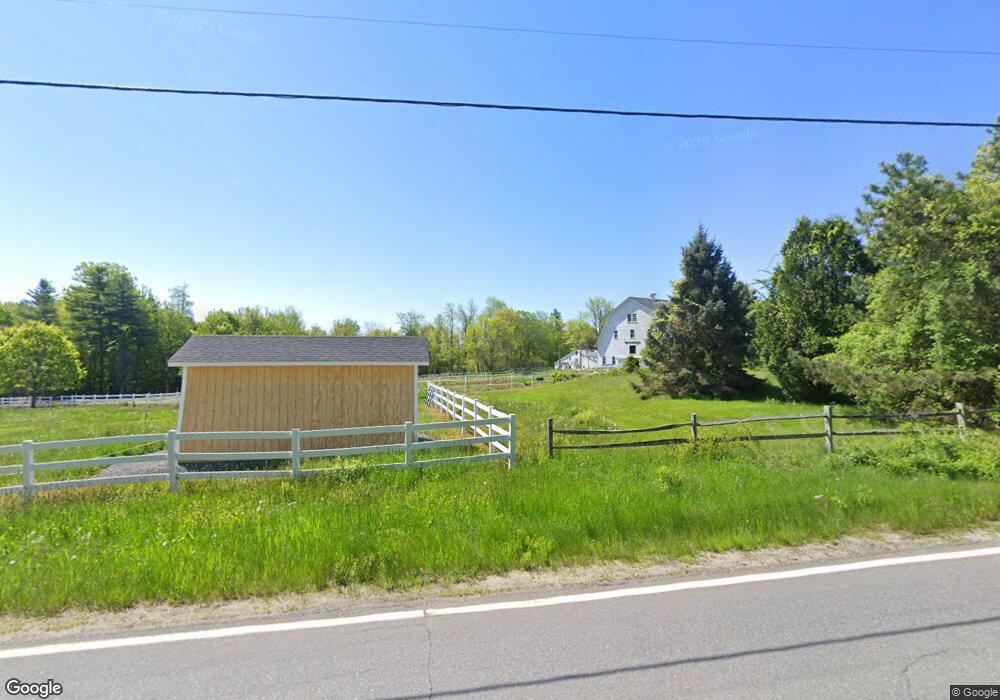
938 Route 135 Monmouth, ME 04259
Estimated Value: $419,000 - $739,626
4
Beds
2
Baths
1,152
Sq Ft
$508/Sq Ft
Est. Value
About This Home
This home is located at 938 Route 135, Monmouth, ME 04259 and is currently estimated at $584,907, approximately $507 per square foot. 938 Route 135 is a home with nearby schools including Hall-Dale Elementary School, Dresden Elementary School, and Marcia Buker School.
Ownership History
Date
Name
Owned For
Owner Type
Purchase Details
Closed on
Oct 31, 2023
Sold by
Saindon James T
Bought by
Cg Cran Holdings Llc
Current Estimated Value
Home Financials for this Owner
Home Financials are based on the most recent Mortgage that was taken out on this home.
Original Mortgage
$495,000
Outstanding Balance
$485,822
Interest Rate
7.18%
Mortgage Type
Purchase Money Mortgage
Estimated Equity
$99,085
Create a Home Valuation Report for This Property
The Home Valuation Report is an in-depth analysis detailing your home's value as well as a comparison with similar homes in the area
Home Values in the Area
Average Home Value in this Area
Purchase History
| Date | Buyer | Sale Price | Title Company |
|---|---|---|---|
| Cg Cran Holdings Llc | $660,000 | None Available |
Source: Public Records
Mortgage History
| Date | Status | Borrower | Loan Amount |
|---|---|---|---|
| Open | Cg Cran Holdings Llc | $495,000 |
Source: Public Records
Tax History Compared to Growth
Tax History
| Year | Tax Paid | Tax Assessment Tax Assessment Total Assessment is a certain percentage of the fair market value that is determined by local assessors to be the total taxable value of land and additions on the property. | Land | Improvement |
|---|---|---|---|---|
| 2024 | $4,172 | $204,000 | $42,000 | $162,000 |
| 2023 | $3,692 | $204,000 | $42,000 | $162,000 |
| 2022 | $3,457 | $177,300 | $36,500 | $140,800 |
| 2021 | $3,333 | $177,300 | $36,500 | $140,800 |
| 2020 | $3,218 | $177,300 | $36,500 | $140,800 |
| 2018 | $3,112 | $177,300 | $36,500 | $140,800 |
| 2017 | $3,112 | $177,300 | $36,500 | $140,800 |
| 2016 | $3,239 | $195,700 | $36,500 | $159,200 |
| 2015 | $2,931 | $187,900 | $36,500 | $151,400 |
| 2013 | $2,734 | $187,900 | $36,500 | $151,400 |
Source: Public Records
Map
Nearby Homes
- 1103 Route 135
- 83 Larry Dr
- 11 Neal Ln
- 57 Neal Ln
- M3 L9 Winthrop Center Rd
- 121 Wentworth Cove
- Lot 6 Holmes Brook Ln
- Lot 42B Fire Road A-3
- 305 Peacepipe Dr
- 35002 Waugan Rd
- TBD LOT 2 Neck Rd
- 0 W Rockwood
- 251 Annabessacook Rd
- 33 Gerber Ln
- 33-34 Gerber Ln
- 34 Gerber Ln
- 25 Hansons Wood Rd
- 172-B Annabessacook Rd
- 172 Annabessacook Rd
- 13 Cove Dr