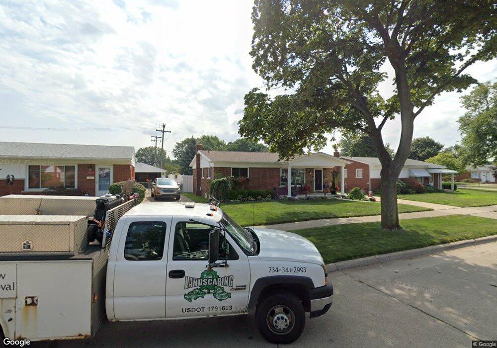
9381 Sylvester St Taylor, MI 48180
Estimated Value: $171,000 - $196,000
3
Beds
1
Bath
1,019
Sq Ft
$177/Sq Ft
Est. Value
About This Home
This home is located at 9381 Sylvester St, Taylor, MI 48180 and is currently estimated at $180,863, approximately $177 per square foot. 9381 Sylvester St is a home located in Wayne County with nearby schools including Kinyon Elementary School, Robert J. West Middle School, and Taylor High School.
Ownership History
Date
Name
Owned For
Owner Type
Purchase Details
Closed on
Aug 16, 2010
Sold by
Goddard Helen A
Bought by
Goodard Helen A
Current Estimated Value
Purchase Details
Closed on
Jan 12, 2009
Sold by
Secretary Of Housing & Urban Development
Bought by
Goddard Helen A
Purchase Details
Closed on
Jul 7, 2008
Sold by
Wells Fargo Bank Na
Bought by
Hud
Purchase Details
Closed on
Jan 2, 2008
Sold by
Jones Corwin R and Cowart Umecca D
Bought by
Wells Fargo Bank Na
Purchase Details
Closed on
Aug 21, 2003
Sold by
Holtz Robert D
Bought by
Jones Corwin R
Create a Home Valuation Report for This Property
The Home Valuation Report is an in-depth analysis detailing your home's value as well as a comparison with similar homes in the area
Home Values in the Area
Average Home Value in this Area
Purchase History
| Date | Buyer | Sale Price | Title Company |
|---|---|---|---|
| Goodard Helen A | -- | None Available | |
| Goddard Helen A | $56,001 | None Available | |
| Hud | -- | None Available | |
| Wells Fargo Bank Na | $134,600 | None Available | |
| Jones Corwin R | $133,300 | Multiple |
Source: Public Records
Tax History
| Year | Tax Paid | Tax Assessment Tax Assessment Total Assessment is a certain percentage of the fair market value that is determined by local assessors to be the total taxable value of land and additions on the property. | Land | Improvement |
|---|---|---|---|---|
| 2025 | $1,835 | $85,100 | $0 | $0 |
| 2024 | $1,777 | $79,300 | $0 | $0 |
| 2023 | $2,119 | $70,100 | $0 | $0 |
| 2022 | $1,696 | $61,900 | $0 | $0 |
| 2021 | $1,864 | $55,700 | $0 | $0 |
| 2020 | $1,846 | $49,500 | $0 | $0 |
| 2019 | $184,551 | $40,400 | $0 | $0 |
| 2018 | $1,456 | $35,400 | $0 | $0 |
| 2017 | $785 | $33,300 | $0 | $0 |
| 2016 | $1,797 | $32,400 | $0 | $0 |
| 2015 | $3,434 | $34,800 | $0 | $0 |
| 2013 | $3,410 | $34,700 | $0 | $0 |
| 2012 | $1,458 | $34,300 | $12,800 | $21,500 |
Source: Public Records
Map
Nearby Homes
- 9228 Mueller St
- 9560 Sylvester St
- 9167 Groschner St
- 9651 Blaty St
- 22327 Wick Rd
- 22311 Wick Rd
- 23319 Haig St
- 9814 Cass Ave
- 22134 Wick Rd
- 22150 Haig St
- 9360 Pine St
- 22726 Haskell St
- 22137 Haskell St
- 9788 Pine St
- 22243 Kinyon St Unit 3
- 22243 Kinyon St Unit 1
- 9640 Dudley St
- 9602 Cornell St
- 23353 Wohlfeil St
- 9731 Cornell St
- 9375 Sylvester St
- 9385 Sylvester St
- 9391 Sylvester St
- 9255 Hanley St
- 9265 Hanley St
- 9243 Hanley St
- 9231 Hanley St
- 9395 Sylvester St
- 9221 Hanley St
- 9401 Sylvester St
- 9376 Sylvester St
- 9364 Sylvester St
- 9388 Sylvester St
- 9354 Sylvester St
- 9211 Hanley St
- 9404 Sylvester St
- 9348 Sylvester St
- 9254 Hanley St
- 9264 Hanley St
- 9415 Sylvester St
Your Personal Tour Guide
Ask me questions while you tour the home.