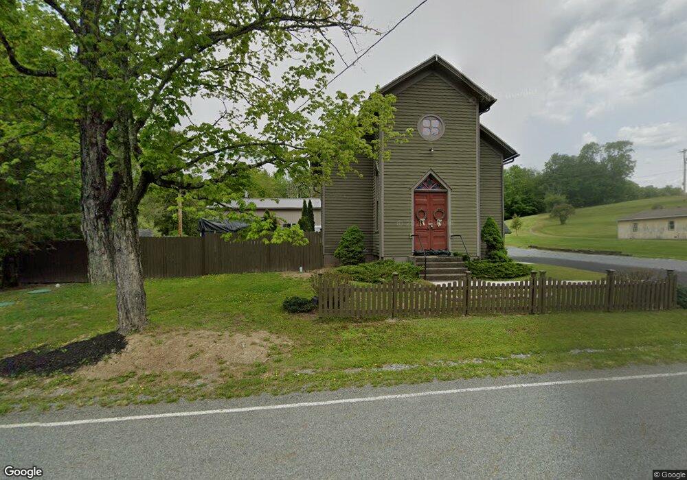
9386 State Route 184 Trout Run, PA 17771
Estimated Value: $103,000 - $271,000
--
Bed
--
Bath
1,162
Sq Ft
$162/Sq Ft
Est. Value
About This Home
This home is located at 9386 State Route 184, Trout Run, PA 17771 and is currently estimated at $187,680, approximately $161 per square foot. 9386 State Route 184 is a home with nearby schools including Liberty Elementary School and North Penn-Liberty Jr./Sr. High School.
Ownership History
Date
Name
Owned For
Owner Type
Purchase Details
Closed on
Mar 29, 2019
Sold by
Deardorff Ricky D and Deardorff Kimberly J
Bought by
Deardorff Ricky D and Deardorff Kimberly J
Current Estimated Value
Purchase Details
Closed on
Sep 13, 2006
Sold by
Huntington Russell O and Huntington Terry L
Bought by
Deardorff Ricky D and Deardorff Kimberly J
Home Financials for this Owner
Home Financials are based on the most recent Mortgage that was taken out on this home.
Original Mortgage
$21,600
Interest Rate
6.87%
Mortgage Type
Adjustable Rate Mortgage/ARM
Create a Home Valuation Report for This Property
The Home Valuation Report is an in-depth analysis detailing your home's value as well as a comparison with similar homes in the area
Home Values in the Area
Average Home Value in this Area
Purchase History
| Date | Buyer | Sale Price | Title Company |
|---|---|---|---|
| Deardorff Ricky D | -- | None Available | |
| Deardorff Ricky D | $27,000 | None Available |
Source: Public Records
Mortgage History
| Date | Status | Borrower | Loan Amount |
|---|---|---|---|
| Closed | Deardorff Ricky D | $21,600 |
Source: Public Records
Tax History Compared to Growth
Tax History
| Year | Tax Paid | Tax Assessment Tax Assessment Total Assessment is a certain percentage of the fair market value that is determined by local assessors to be the total taxable value of land and additions on the property. | Land | Improvement |
|---|---|---|---|---|
| 2025 | $1,980 | $76,210 | $20,300 | $55,910 |
| 2024 | $1,976 | $76,210 | $20,300 | $55,910 |
| 2023 | $1,938 | $76,210 | $20,300 | $55,910 |
| 2022 | $1,882 | $76,210 | $20,300 | $55,910 |
| 2021 | $1,869 | $76,210 | $20,300 | $55,910 |
| 2020 | $1,642 | $65,840 | $20,300 | $45,540 |
| 2019 | $1,253 | $50,650 | $8,230 | $42,420 |
| 2018 | $1,191 | $50,650 | $8,230 | $42,420 |
| 2017 | $959 | $42,880 | $8,230 | $34,650 |
| 2016 | $911 | $42,880 | $8,230 | $34,650 |
| 2015 | $911 | $42,880 | $8,230 | $34,650 |
Source: Public Records
Map
Nearby Homes
- 19 Hughes Rd
- 207 Baker Rd
- 7094 State Route 184
- 11658 Little Pine Creek Rd
- 5074 Cogan House Rd
- 173 Grasso Ln
- 23 Grasso Ln
- 111 School House Ln
- 1 Fawn Dr
- 20 Heverly Rd
- Wp Lot 001 Pennsylvania 287
- 10641 N Route 44 Hwy
- 18 N 3rd St
- 241 Main St
- PARCEL 178 Saint Michaels Rd
- 600 Ramsey Dr
- 976 Powys Rd
- 5868 N Route 44 Hwy
- PARCEL 15 Cresent Hill Rd
- 0 Cresent Hill Rd Unit 20-100585
- 9386 Pennsylvania 184
- 9391 Pennsylvania 184
- 12660 Pennsylvania 287
- 8458 Pennsylvania 184
- 9439 State Route 184
- 9439 Pennsylvania 184
- 22 Hunters Ln
- 9483 State Route 184
- 12568 Route 287 Hwy
- 12506 Pennsylvania 287
- 19 Mary Hughes Rd
- 69 Hughes Rd
- 12491 Route 287 Hwy
- 12506 Route 287 Hwy
- 214 Hughes Rd
- 12493 State Route 287
- 251 Hughes Rd
- 255 Hughes Rd
- 10 Outback Ln
- 309 Hughes Rd