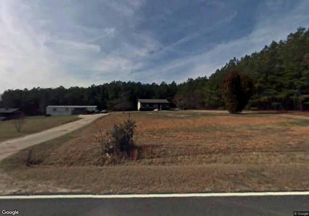
939 Beasley Rd Louisburg, NC 27549
Estimated Value: $135,000 - $238,000
3
Beds
2
Baths
1,040
Sq Ft
$170/Sq Ft
Est. Value
About This Home
This home is located at 939 Beasley Rd, Louisburg, NC 27549 and is currently estimated at $177,285, approximately $170 per square foot. 939 Beasley Rd is a home with nearby schools including Louisburg Elementary School, Terrell Lane Middle School, and Louisburg High School.
Ownership History
Date
Name
Owned For
Owner Type
Purchase Details
Closed on
Mar 18, 2005
Sold by
Mustian Garland E
Bought by
Mayfield John C and Mayfield Carolyn
Current Estimated Value
Home Financials for this Owner
Home Financials are based on the most recent Mortgage that was taken out on this home.
Original Mortgage
$72,800
Outstanding Balance
$36,564
Interest Rate
5.57%
Mortgage Type
Purchase Money Mortgage
Estimated Equity
$140,721
Create a Home Valuation Report for This Property
The Home Valuation Report is an in-depth analysis detailing your home's value as well as a comparison with similar homes in the area
Home Values in the Area
Average Home Value in this Area
Purchase History
| Date | Buyer | Sale Price | Title Company |
|---|---|---|---|
| Mayfield John C | $91,000 | None Available |
Source: Public Records
Mortgage History
| Date | Status | Borrower | Loan Amount |
|---|---|---|---|
| Open | Mayfield John C | $72,800 | |
| Closed | Mayfield John C | $18,200 |
Source: Public Records
Tax History Compared to Growth
Tax History
| Year | Tax Paid | Tax Assessment Tax Assessment Total Assessment is a certain percentage of the fair market value that is determined by local assessors to be the total taxable value of land and additions on the property. | Land | Improvement |
|---|---|---|---|---|
| 2025 | $763 | $112,126 | $27,816 | $84,310 |
| 2024 | $763 | $112,126 | $27,816 | $84,310 |
| 2023 | $817 | $80,510 | $16,690 | $63,820 |
| 2022 | $807 | $80,510 | $16,690 | $63,820 |
| 2021 | $815 | $80,510 | $16,690 | $63,820 |
| 2020 | $820 | $80,510 | $16,690 | $63,820 |
| 2019 | $801 | $80,510 | $16,690 | $63,820 |
| 2018 | $796 | $80,510 | $16,690 | $63,820 |
| 2017 | $797 | $74,658 | $13,908 | $60,750 |
| 2016 | $823 | $74,658 | $13,908 | $60,750 |
| 2015 | $823 | $74,658 | $13,908 | $60,750 |
| 2014 | $759 | $74,658 | $13,908 | $60,750 |
Source: Public Records
Map
Nearby Homes
- 0 Beasley Rd Unit 10130664
- 0 Breedlove Rd Unit 10076336
- 642 Breedlove Rd
- 0 Zinnia Ct Unit 10129898
- 641 Rocky Ford Rd
- 0 Krafft Corner Unit 10130210
- 35 Jonesville Ln
- 4224 Us 401 Hwy N
- 615 Woodland Trail
- 1302 Rocky Ford Rd
- 307 Wilson-Fuller Rd
- 421 General Green Rd
- 76 Sutton Rd
- 101 Briarwood Ct
- 376 T K Allen Rd
- 1734 Rocky Ford Rd
- 300 Sims Bridge Rd
- 126 Person St
- 0-0 Halifax Rd
- 109 Drew St
- 917 Beasley Rd
- 874 Beasley Rd
- 0 Beasley Rd Unit 21687751
- 0 Beasley Rd Unit 18922057
- 0 Beasley Rd Unit TR2220186
- 0 Beasley Rd Unit TR2249998
- 0 Beasley Rd Unit 1733620
- 0 Beasley Rd
- 721 Beasley Rd
- 550 Breedlove Rd
- 530 Breedlove Rd
- 65 Elohim Way
- 0 Breedlove Rd Unit 1959120
- 0 Breedlove Rd Unit 786714
- 0 Breedlove Rd Unit 814236
- Lot#11 Breedlove Rd
- 0 Breedlove Rd Unit 2488031
- 0 Breedlove Rd Unit none TR1737788
- 0 Breedlove Rd Unit TR2154369
- 0 Breedlove Rd Unit TR2222576