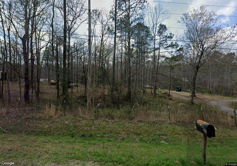
939 Boggus Rd Franklin, GA 30217
Estimated Value: $334,979 - $386,000
3
Beds
2
Baths
1,564
Sq Ft
$231/Sq Ft
Est. Value
About This Home
This home is located at 939 Boggus Rd, Franklin, GA 30217 and is currently estimated at $361,993, approximately $231 per square foot. 939 Boggus Rd is a home located in Heard County with nearby schools including Heard County High School.
Ownership History
Date
Name
Owned For
Owner Type
Purchase Details
Closed on
Jan 24, 2005
Sold by
Prescott Vickie
Bought by
Prescott Vickie and Prescott Thomas
Current Estimated Value
Purchase Details
Closed on
Oct 5, 2004
Sold by
Morris Frances Louis
Bought by
Prescott Vickie
Purchase Details
Closed on
Sep 1, 1978
Bought by
Morris Frances Louis
Create a Home Valuation Report for This Property
The Home Valuation Report is an in-depth analysis detailing your home's value as well as a comparison with similar homes in the area
Home Values in the Area
Average Home Value in this Area
Purchase History
| Date | Buyer | Sale Price | Title Company |
|---|---|---|---|
| Prescott Vickie | $108,000 | -- | |
| Prescott Vickie | -- | -- | |
| Morris Frances Louis | -- | -- |
Source: Public Records
Tax History Compared to Growth
Tax History
| Year | Tax Paid | Tax Assessment Tax Assessment Total Assessment is a certain percentage of the fair market value that is determined by local assessors to be the total taxable value of land and additions on the property. | Land | Improvement |
|---|---|---|---|---|
| 2024 | $1,396 | $113,066 | $35,237 | $77,829 |
| 2023 | $1,265 | $99,511 | $29,364 | $70,147 |
| 2022 | $1,209 | $82,679 | $12,612 | $70,067 |
| 2021 | $1,266 | $67,545 | $12,612 | $54,933 |
| 2020 | $1,185 | $63,389 | $12,612 | $50,777 |
| 2019 | $1,158 | $63,389 | $12,612 | $50,777 |
| 2018 | $1,435 | $63,389 | $12,612 | $50,777 |
| 2017 | $1,115 | $63,029 | $14,832 | $48,197 |
| 2016 | $971 | $56,750 | $14,832 | $41,918 |
| 2015 | -- | $58,560 | $22,070 | $36,490 |
| 2014 | -- | $58,572 | $22,070 | $36,502 |
| 2013 | -- | $62,749 | $22,070 | $40,678 |
Source: Public Records
Map
Nearby Homes
- 51+/- AC Noles Rd
- 45+/- AC Noles Rd
- 51+/- Ac Noles Rd
- 45+/- Ac Noles Rd
- 0 Bevis Rd Parcel 7 Unit 10559612
- 0 Tbd Tower Rd
- 39 Brush Creek Park Rd
- 244 Brush Creek Park Rd
- 2758 Straylott Rd
- 0 Tower Rd
- 307 Willis Dick Rd
- 0 Lipham Rd Unit 10505011
- 3939 Bevis Rd
- 92 Holliday Rd
- 1555 Straylott Rd
- 57+/- AC Victory Rd
- 6215 Georgia 34
- 6110 Ga Highway 34
- 1440 Butler Rd
- 4383 Georgia 34
- 865 Boggus Rd
- 1001 Boggus Rd
- 840 Boggus Rd
- 1229 Boggus Rd
- 71 Noles Rd
- 0 Noles Rd
- 0 Noles Rd Unit 8020414
- 1066 Boggus Rd
- 687 Boggus Rd
- 715 Kirk Rd
- 745 Kirk Rd
- 777 Kirk Rd
- 771 Kirk Rd
- TRACT D 5 ACRES Boggus Rd
- TR. A 43 +/- AC Boggus Rd
- TR. C 25 +/- AC Boggus Rd
- TR. D 25 +/- AC Boggus Rd
- TR. A 84 +/- AC Boggus Rd
- 30 AC Boggus Rd
- 183 AC Boggus Rd