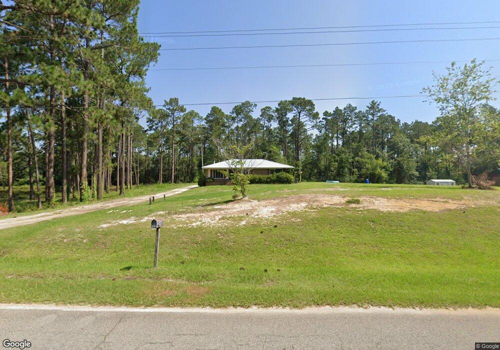
939 Cemetery Rd Cordele, GA 31015
Estimated Value: $88,812 - $228,000
3
Beds
2
Baths
1,424
Sq Ft
$111/Sq Ft
Est. Value
About This Home
This home is located at 939 Cemetery Rd, Cordele, GA 31015 and is currently estimated at $157,703, approximately $110 per square foot. 939 Cemetery Rd is a home located in Crisp County with nearby schools including Crisp County Elementary School, Crisp County Primary School, and Crisp County Middle School.
Ownership History
Date
Name
Owned For
Owner Type
Purchase Details
Closed on
Aug 17, 2022
Sold by
Southwest Georgia United Empowerment Zon
Bought by
Crenshaw Leland F
Current Estimated Value
Purchase Details
Closed on
Aug 31, 2009
Sold by
South Georgia Banking Company
Bought by
Southwest Georgia United Empowerment
Home Financials for this Owner
Home Financials are based on the most recent Mortgage that was taken out on this home.
Original Mortgage
$601,790
Interest Rate
5.19%
Mortgage Type
Purchase Money Mortgage
Purchase Details
Closed on
Nov 4, 2008
Sold by
Little Donna H
Bought by
South Georgia Banking Company
Purchase Details
Closed on
Mar 17, 1994
Bought by
Little Donna H
Purchase Details
Closed on
Jul 28, 1977
Bought by
Braswell Joan C
Create a Home Valuation Report for This Property
The Home Valuation Report is an in-depth analysis detailing your home's value as well as a comparison with similar homes in the area
Home Values in the Area
Average Home Value in this Area
Purchase History
| Date | Buyer | Sale Price | Title Company |
|---|---|---|---|
| Crenshaw Leland F | $70,000 | -- | |
| Southwest Georgia United Empowerment | $632,000 | -- | |
| South Georgia Banking Company | $65,000 | -- | |
| Little Donna H | $43,500 | -- | |
| Braswell Joan C | -- | -- |
Source: Public Records
Mortgage History
| Date | Status | Borrower | Loan Amount |
|---|---|---|---|
| Previous Owner | Southwest Georgia United Empowerment | $601,790 |
Source: Public Records
Tax History Compared to Growth
Tax History
| Year | Tax Paid | Tax Assessment Tax Assessment Total Assessment is a certain percentage of the fair market value that is determined by local assessors to be the total taxable value of land and additions on the property. | Land | Improvement |
|---|---|---|---|---|
| 2025 | $987 | $40,551 | $2,293 | $38,258 |
| 2024 | $987 | $36,454 | $2,123 | $34,331 |
| 2023 | $969 | $34,491 | $2,123 | $32,368 |
| 2022 | $902 | $32,103 | $1,698 | $30,405 |
| 2021 | $894 | $30,140 | $1,698 | $28,442 |
| 2020 | $795 | $26,762 | $1,698 | $25,064 |
| 2019 | $790 | $26,762 | $1,698 | $25,064 |
| 2018 | $806 | $30,965 | $1,080 | $29,885 |
| 2017 | $680 | $22,096 | $1,080 | $21,016 |
| 2016 | $679 | $22,096 | $1,080 | $21,016 |
| 2015 | -- | $22,096 | $1,080 | $21,016 |
| 2014 | -- | $22,096 | $1,080 | $21,016 |
| 2013 | -- | $22,096 | $1,079 | $21,016 |
Source: Public Records
Map
Nearby Homes
- 293 Wildwood Dr
- 000 Brady Rd
- 0 Old Nesbitt Rd
- 160 Old Nesbitt Rd
- 127 Hill Rd
- 1607 Georgia 257
- 1643 Ga Highway 257
- 00 Griffin Rd
- 1403 Georgia 90
- TBD S Greer St
- 0 S Greer St
- 1806 Georgia 90
- Lot #13 Lakeview Dr
- 703 N Pecan St
- 1509 E 20th Ave
- 1015 E 8th Ave
- 1009 E Tulip Ave
- 1001 Stewart Ave
- TBD N Pecan St
- 3041 E Ga Hwy 280
- 947 Cemetery Rd
- 919 Cemetery Rd
- 953 Cemetery Rd
- 942 Cemetery Rd
- 934 Cemetery Rd
- 950 Cemetery Rd
- 918 Cemetery Rd
- 906 Cemetery Rd
- 903 Cemetery Rd
- 463 Old Tremont Rd
- 981 Cemetery Rd
- 886 Cemetery Rd
- 533 Dorough Rd N
- 519 Dorough Rd N
- 872 Cemetery Rd
- 1008 Cemetery Rd
- 538 Dorough Rd N
- 864 Cemetery Rd
- 1012 Cemetery Rd
- 522 Dorough Rd N