Estimated Value: $311,000 - $389,849
3
Beds
2
Baths
1,679
Sq Ft
$203/Sq Ft
Est. Value
About This Home
This home is located at 939 Charlie Davis Rd, Alto, GA 30510 and is currently estimated at $340,616, approximately $202 per square foot. 939 Charlie Davis Rd is a home located in Habersham County with nearby schools including Level Grove Elementary School, South Habersham Middle School, and Habersham Success Academy.
Ownership History
Date
Name
Owned For
Owner Type
Purchase Details
Closed on
Apr 1, 2008
Sold by
Not Provided
Bought by
Colbert Dennis Earl and Colbert Jimmie Lou
Current Estimated Value
Purchase Details
Closed on
Aug 1, 2007
Sold by
Not Provided
Bought by
Colbert Dennis Earl and Colbert Jimmie Lou
Create a Home Valuation Report for This Property
The Home Valuation Report is an in-depth analysis detailing your home's value as well as a comparison with similar homes in the area
Home Values in the Area
Average Home Value in this Area
Purchase History
| Date | Buyer | Sale Price | Title Company |
|---|---|---|---|
| Colbert Dennis Earl | -- | -- | |
| Colbert Dennis Earl | -- | -- | |
| Colbert Dennis Earl | -- | -- | |
| Colbert Dennis Earl | -- | -- |
Source: Public Records
Tax History Compared to Growth
Tax History
| Year | Tax Paid | Tax Assessment Tax Assessment Total Assessment is a certain percentage of the fair market value that is determined by local assessors to be the total taxable value of land and additions on the property. | Land | Improvement |
|---|---|---|---|---|
| 2025 | $1,833 | $178,547 | $115,045 | $63,502 |
| 2024 | $2,936 | $113,116 | $58,672 | $54,444 |
| 2023 | $2,604 | $104,168 | $58,672 | $45,496 |
| 2022 | $419 | $91,604 | $53,456 | $38,148 |
| 2021 | $389 | $87,548 | $53,456 | $34,092 |
| 2020 | $385 | $82,920 | $53,456 | $29,464 |
| 2019 | $383 | $82,920 | $53,456 | $29,464 |
| 2018 | $375 | $82,920 | $53,456 | $29,464 |
| 2017 | $0 | $80,652 | $53,456 | $27,196 |
| 2016 | $302 | $89,920 | $53,456 | $27,196 |
| 2015 | $290 | $89,470 | $53,456 | $27,196 |
| 2014 | $266 | $83,280 | $53,048 | $26,776 |
| 2013 | -- | $79,824 | $53,048 | $26,776 |
Source: Public Records
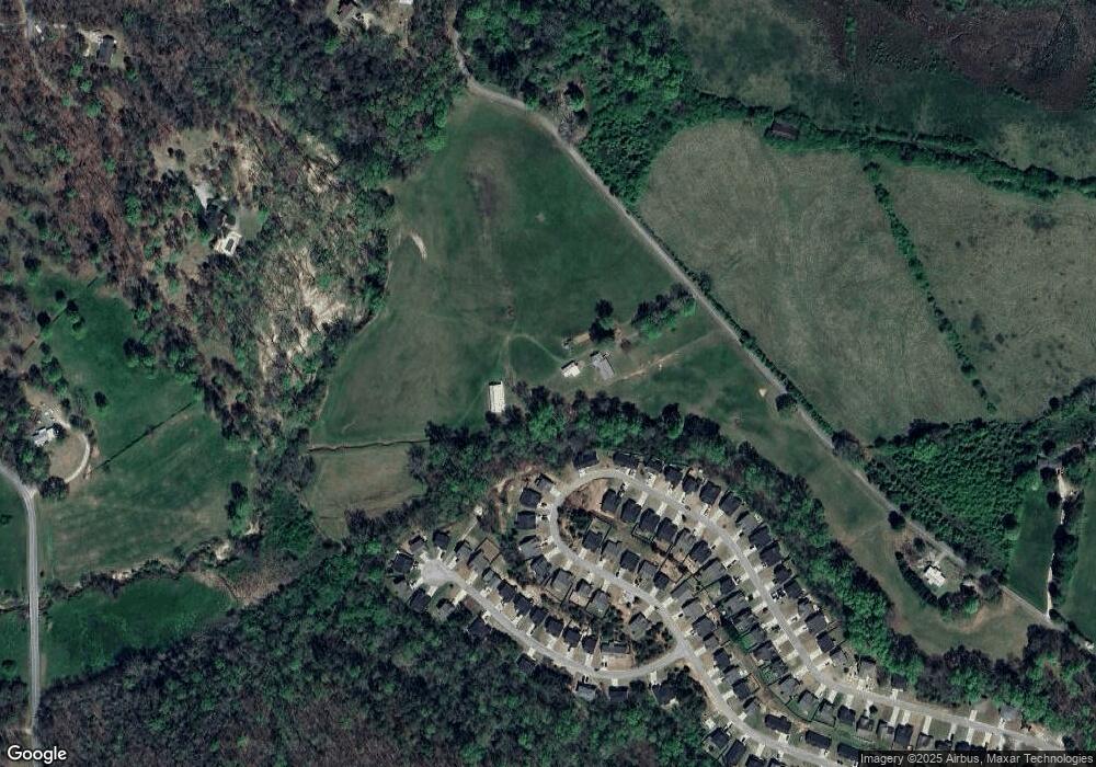
Map
Nearby Homes
- 324 Highland Pointe Dr
- 752 Dawn Place
- 140 Highland Pointe Dr
- 738 Wilbanks Rd
- 0 State Route 365 Unit 10496178
- 0 State Route 365 Unit 10496183
- 3568 State Route 365
- 1307 Creasy Patch Rd
- 0 Hubert Harris
- 429 Hubert Harris Rd
- 179 Sunset Oaks Dr
- 190 Sunset Oaks Dr
- 1246 Duncan Bridge Rd
- 255 Laurel Place Dr
- 2000 Alto Mud Creek Rd
- 240 Woodmont Dr
- 335 Laurel Place Dr
- 450 Beachwood Dr
- 434 Beachwood Dr
- 425 Crystal Way
- 342 Highland Pointe Dr
- 350 Highland Pointe Dr Unit 25
- 358 Highland Pointe Dr
- 362 Highland Pointe Dr Unit 27
- 336 Highland Pointe Dr
- 330 Highland Pointe Dr Unit 22
- 330 Highland Pointe Dr
- 347 Highland Pointe Dr Unit 126
- 368 Highland Pointe Dr
- 341 Highland Pointe Dr Unit 125
- 1175 Charlie Davis Rd
- 335 Highland Pointe Dr
- 372 Highland Pointe Dr
- 372 Highland Pointe Dr Unit 29
- 385 Highland Pointe Dr
- 385 Highland Pointe Dr Unit 129
- 329 Highland Pointe Dr Unit 123
- 329 Highland Pointe Dr
- 391 Highland Pointe Dr Unit 130
- 391 Highland Pointe Dr