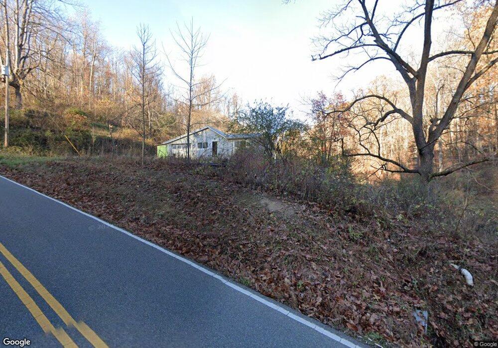
939 County Road 17 South Point, OH 45680
Estimated Value: $109,000 - $146,000
3
Beds
1
Bath
1,008
Sq Ft
$124/Sq Ft
Est. Value
About This Home
This home is located at 939 County Road 17, South Point, OH 45680 and is currently estimated at $125,470, approximately $124 per square foot. 939 County Road 17 is a home located in Lawrence County with nearby schools including Dawson-Bryant Elementary School, Dawson-Bryant Middle School, and Dawson-Bryant High School.
Ownership History
Date
Name
Owned For
Owner Type
Purchase Details
Closed on
Dec 27, 2004
Sold by
Clonch Caroline J
Bought by
Dotson Mark A and Dotson Tammy
Current Estimated Value
Home Financials for this Owner
Home Financials are based on the most recent Mortgage that was taken out on this home.
Original Mortgage
$58,500
Interest Rate
10.35%
Mortgage Type
Adjustable Rate Mortgage/ARM
Create a Home Valuation Report for This Property
The Home Valuation Report is an in-depth analysis detailing your home's value as well as a comparison with similar homes in the area
Home Values in the Area
Average Home Value in this Area
Purchase History
| Date | Buyer | Sale Price | Title Company |
|---|---|---|---|
| Dotson Mark A | $65,000 | None Available |
Source: Public Records
Mortgage History
| Date | Status | Borrower | Loan Amount |
|---|---|---|---|
| Closed | Dotson Mark A | $58,500 |
Source: Public Records
Tax History Compared to Growth
Tax History
| Year | Tax Paid | Tax Assessment Tax Assessment Total Assessment is a certain percentage of the fair market value that is determined by local assessors to be the total taxable value of land and additions on the property. | Land | Improvement |
|---|---|---|---|---|
| 2024 | -- | $24,660 | $7,810 | $16,850 |
| 2023 | $753 | $24,660 | $7,810 | $16,850 |
| 2022 | $751 | $24,660 | $7,810 | $16,850 |
| 2021 | $648 | $20,510 | $6,820 | $13,690 |
| 2020 | $663 | $20,510 | $6,820 | $13,690 |
| 2019 | $659 | $20,510 | $6,820 | $13,690 |
| 2018 | $655 | $20,110 | $6,690 | $13,420 |
| 2017 | $654 | $20,110 | $6,690 | $13,420 |
| 2016 | $607 | $20,110 | $6,690 | $13,420 |
| 2015 | $562 | $18,220 | $6,690 | $11,530 |
| 2014 | $561 | $18,220 | $6,690 | $11,530 |
| 2013 | $560 | $18,220 | $6,690 | $11,530 |
Source: Public Records
Map
Nearby Homes
- 6881 State Route 243
- 3859 County Road 15
- 1122 Township Road 266
- 1122 Township Road 266
- 66 Township Road 1523
- 3493 County Road 31
- 3171 County Road 31
- 14 Township Road 1356
- 253 Township Road 1357
- 1225 County Road 15
- 36 Private Drive 2568
- 6757 County Road 15
- 6897 County Road 15
- 119 County Road 15
- 719 County Road 15
- 0 County Road 1
- 101 Township Road 1119
- 00 Township Road 219 N
- 142 Township Road 1156
- 1184 County Road 18
- 827 County Road 17
- 963 County Road 17
- 1045 County Road 17
- 1162 County Road 17
- 654 County Road 17
- 2052 County Road 58
- 0 Twp Rd 93 Unit 160645
- 547 Township Road 250
- 531 County Road 17
- 2009 County Road 58
- 594 County Road 17
- 1979 County Road 58
- 651 Township Road 250
- 387 County Road 17
- 377 County Road 17
- 1492 County Road 17
- 266 Township Road 93 N
- 771 Township Road 250
- 771 Township Road 250 Unit JO-42
- 771 Township Road 250 Unit JO-1