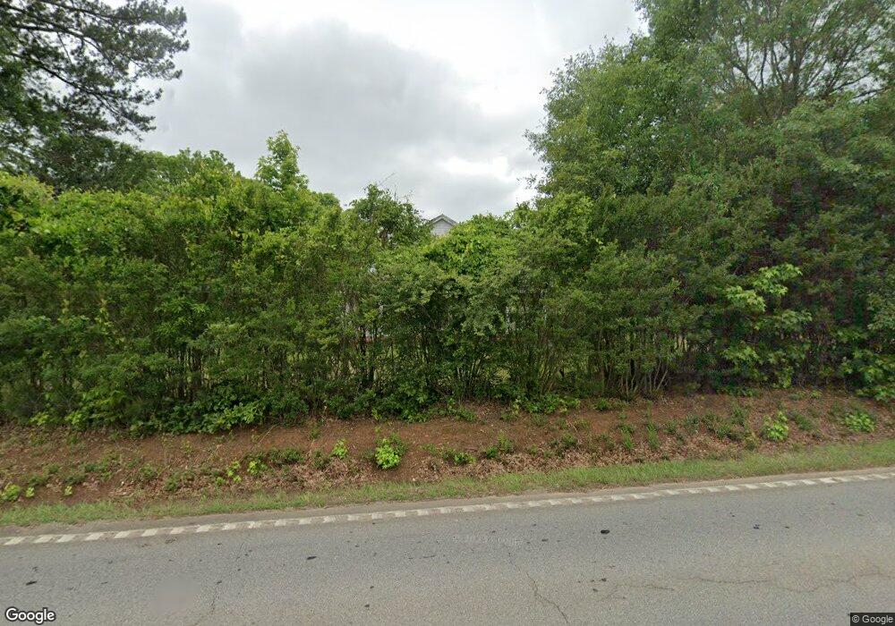
939 Highway 41 S Forsyth, GA 31029
Estimated Value: $170,000 - $246,364
3
Beds
2
Baths
2,256
Sq Ft
$100/Sq Ft
Est. Value
About This Home
This home is located at 939 Highway 41 S, Forsyth, GA 31029 and is currently estimated at $224,591, approximately $99 per square foot. 939 Highway 41 S is a home located in Monroe County with nearby schools including T.G. Scott Elementary School, Mary Persons High School, and Lighthouse Academy.
Ownership History
Date
Name
Owned For
Owner Type
Purchase Details
Closed on
Dec 2, 2015
Sold by
Smith I Connie
Bought by
Smith Kenneth J
Current Estimated Value
Purchase Details
Closed on
Feb 2, 2007
Sold by
Not Provided
Bought by
Smith Connie
Purchase Details
Closed on
Feb 1, 2007
Sold by
Not Provided
Bought by
Smith Connie
Purchase Details
Closed on
Jan 24, 2007
Sold by
Not Provided
Bought by
Smith Connie
Purchase Details
Closed on
Dec 22, 2005
Sold by
Ivey Larry E
Bought by
Smith I Connie and Smith Kenneth S
Create a Home Valuation Report for This Property
The Home Valuation Report is an in-depth analysis detailing your home's value as well as a comparison with similar homes in the area
Home Values in the Area
Average Home Value in this Area
Purchase History
| Date | Buyer | Sale Price | Title Company |
|---|---|---|---|
| Smith Kenneth J | -- | -- | |
| Smith Connie | -- | -- | |
| Smith Connie | -- | -- | |
| Smith Connie | -- | -- | |
| Smith I Connie | $66,667 | -- |
Source: Public Records
Tax History Compared to Growth
Tax History
| Year | Tax Paid | Tax Assessment Tax Assessment Total Assessment is a certain percentage of the fair market value that is determined by local assessors to be the total taxable value of land and additions on the property. | Land | Improvement |
|---|---|---|---|---|
| 2024 | $1,386 | $49,240 | $7,520 | $41,720 |
| 2023 | $1,016 | $42,280 | $7,520 | $34,760 |
| 2022 | $844 | $31,160 | $7,520 | $23,640 |
| 2021 | $873 | $31,160 | $7,520 | $23,640 |
| 2020 | $895 | $31,160 | $7,520 | $23,640 |
| 2019 | $902 | $31,160 | $7,520 | $23,640 |
| 2018 | $806 | $27,760 | $4,120 | $23,640 |
| 2017 | $807 | $27,760 | $4,120 | $23,640 |
| 2016 | $767 | $27,760 | $4,120 | $23,640 |
| 2015 | $727 | $27,760 | $4,120 | $23,640 |
| 2014 | $702 | $27,760 | $4,120 | $23,640 |
Source: Public Records
Map
Nearby Homes
- 243 Copper Crossing
- 131 Hawthorne Ln
- 125 Hawthorne Ln
- 155 Hawthorne Ln
- 312 Clover Pass
- 311 Clover Pass
- 2022 Highway 41 N
- 0 Benson Ham Rd Unit OUTPARCEL 1 10551782
- 0 Benson Ham Rd Unit OUTPARCEL 2 10558340
- 153 Jackson Dr
- 149 Presidents Way
- 0 Patrol Rd Unit 10473001
- 22 Rabon Dr
- 285 E Main St
- 4580 Capulet Ct
- 101 E Chambers St
- 436 Magnolia Ct
- 122 Laurel Ridge
- S S Lee St
- 0 S Lee St Unit 10646818
- 1 Industrial Park Ct
- 0 Industrial Park Ct
- 1 Industrial Ct Rd
- 192 Newton Dr
- 194 Newton Dr
- 198 Newton Dr
- 208 Copper Crossing
- 200 Newton Dr
- 133 Harold G Pkwy
- 204 Copper Crossing
- 202 Newton Dr
- 1183 Highway 41 S
- 208 Newton Dr
- 201 Newton Dr
- 0 Harold G Clarke Pkwy
- 10 Dames Ferry Rd
- 318 Clover Pass
- 210 Newton Dr
- 207 Newton Dr
- 0 Railroad Ave Unit 8396410
