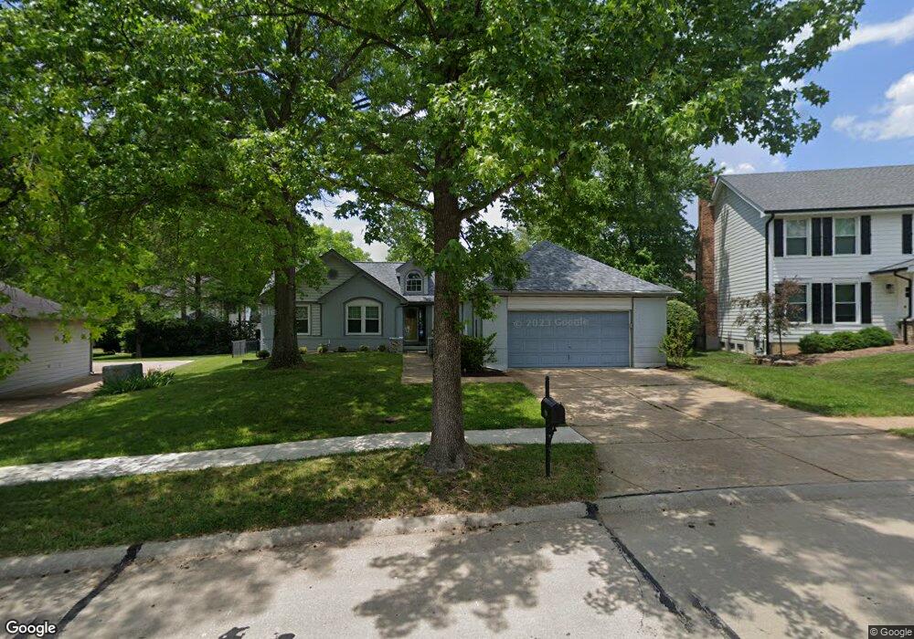
939 Kinsale Dr Ballwin, MO 63021
Estimated Value: $491,289 - $600,000
3
Beds
2
Baths
2,198
Sq Ft
$244/Sq Ft
Est. Value
About This Home
This home is located at 939 Kinsale Dr, Ballwin, MO 63021 and is currently estimated at $535,322, approximately $243 per square foot. 939 Kinsale Dr is a home located in St. Louis County with nearby schools including Barretts Elementary School, Parkway South Middle School, and Parkway South High School.
Ownership History
Date
Name
Owned For
Owner Type
Purchase Details
Closed on
Apr 15, 2014
Sold by
Luecke Andrew C
Bought by
Luecke Andrew C and Luecke Alexis B
Current Estimated Value
Purchase Details
Closed on
Feb 6, 2014
Sold by
O H R Investments Lp
Bought by
Luecke Andrew C
Purchase Details
Closed on
Jan 1, 2007
Sold by
Roeder Oscar G
Bought by
Ohr Investments Lp and Roeder Oscar G
Create a Home Valuation Report for This Property
The Home Valuation Report is an in-depth analysis detailing your home's value as well as a comparison with similar homes in the area
Home Values in the Area
Average Home Value in this Area
Purchase History
| Date | Buyer | Sale Price | Title Company |
|---|---|---|---|
| Luecke Andrew C | -- | None Available | |
| Luecke Andrew C | -- | None Available | |
| Ohr Investments Lp | -- | None Available |
Source: Public Records
Tax History
| Year | Tax Paid | Tax Assessment Tax Assessment Total Assessment is a certain percentage of the fair market value that is determined by local assessors to be the total taxable value of land and additions on the property. | Land | Improvement |
|---|---|---|---|---|
| 2025 | $5,346 | $87,760 | $43,700 | $44,060 |
| 2024 | $5,346 | $78,280 | $24,490 | $53,790 |
| 2023 | $5,392 | $78,280 | $24,490 | $53,790 |
| 2022 | $5,223 | $69,710 | $27,970 | $41,740 |
| 2021 | $5,194 | $69,710 | $27,970 | $41,740 |
| 2020 | $4,945 | $63,520 | $24,490 | $39,030 |
| 2019 | $4,868 | $63,520 | $24,490 | $39,030 |
| 2018 | $4,904 | $59,380 | $19,590 | $39,790 |
| 2017 | $4,699 | $59,380 | $19,590 | $39,790 |
| 2016 | $4,437 | $52,100 | $17,690 | $34,410 |
Source: Public Records
Map
Nearby Homes
- 1649 Country Hill Ln
- 759 Carman Woods Dr
- 813 Pebblefield Terrace
- 1141 Arbor Creek Dr Unit 2C
- 1602 Mauvering Ct
- 3425 Country Stone Manor Dr Unit C
- 3402 Country Stone Manor Dr Unit E
- 3402 Country Stone Manor Dr Unit F
- 1559 Beacon Woods Ct
- 831 Windsor Gardens Ct
- 954 Barcroft Woods Ct
- 949 Barcroft Woods Ct
- 13230 Cozyhill Dr
- 13226 Cozyhill Dr
- 1872 Ridgeview Circle Dr
- 1848 Ridgeview Circle Dr
- 1069 Big Bend Crossing Dr
- 138 Big Bend Rd
- 747 La Feil Dr
- 712 La Marite Dr
- 935 Kinsale Dr
- 943 Kinsale Dr
- 840 Castlebar Ct
- 836 Castlebar Ct
- 830 Castlebar Ct
- 936 Kinsale Dr
- 947 Kinsale Dr
- 1734 Derrynane Dr
- 942 Kinsale Dr
- 1730 Derrynane Dr
- 824 Castlebar Ct
- 844 Castlebar Ct
- 928 Kinsale Dr
- 1726 Derrynane Dr
- 847 Castlebar Ct
- 951 Kinsale Dr
- 924 Kinsale Dr
- 835 Castlebar Ct
- 839 Castlebar Ct
- 831 Castlebar Ct
Your Personal Tour Guide
Ask me questions while you tour the home.