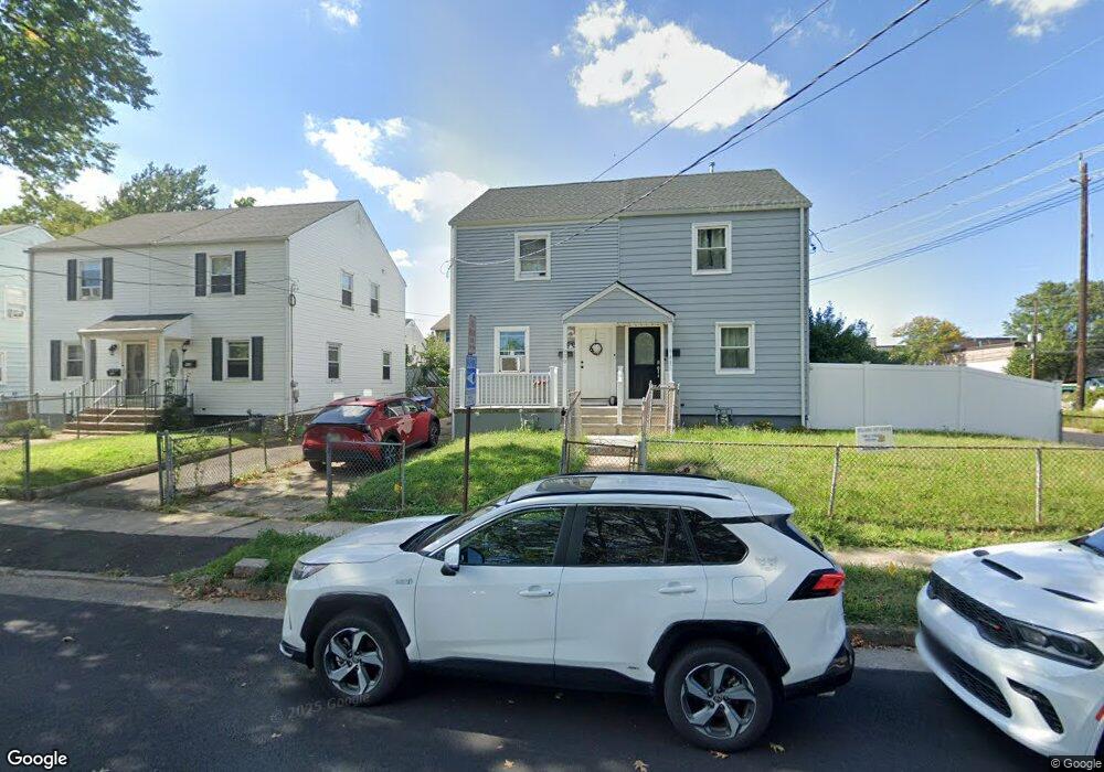
939 Middlesex St Unit 1 Linden, NJ 07036
Estimated Value: $329,061 - $483,000
2
Beds
2
Baths
864
Sq Ft
$436/Sq Ft
Est. Value
About This Home
This home is located at 939 Middlesex St Unit 1, Linden, NJ 07036 and is currently estimated at $377,015, approximately $436 per square foot. 939 Middlesex St Unit 1 is a home located in Union County with nearby schools including School No. 5, Joseph E. Soehl Middle School, and Linden High School.
Ownership History
Date
Name
Owned For
Owner Type
Purchase Details
Closed on
Feb 21, 2023
Sold by
Prescott Daniel B
Bought by
Morell Andres and Morell Joyce
Current Estimated Value
Home Financials for this Owner
Home Financials are based on the most recent Mortgage that was taken out on this home.
Original Mortgage
$332,475
Interest Rate
6.32%
Purchase Details
Closed on
May 26, 2010
Sold by
Prescott Alice and Prescott Daniel B
Bought by
Prescott Daniel B
Create a Home Valuation Report for This Property
The Home Valuation Report is an in-depth analysis detailing your home's value as well as a comparison with similar homes in the area
Home Values in the Area
Average Home Value in this Area
Purchase History
| Date | Buyer | Sale Price | Title Company |
|---|---|---|---|
| Morell Andres | $325,000 | Westcor Land Title | |
| Prescott Daniel B | -- | None Available |
Source: Public Records
Mortgage History
| Date | Status | Borrower | Loan Amount |
|---|---|---|---|
| Previous Owner | Morell Andres | $332,475 |
Source: Public Records
Tax History Compared to Growth
Tax History
| Year | Tax Paid | Tax Assessment Tax Assessment Total Assessment is a certain percentage of the fair market value that is determined by local assessors to be the total taxable value of land and additions on the property. | Land | Improvement |
|---|---|---|---|---|
| 2025 | $5,766 | $82,000 | $33,800 | $48,200 |
| 2024 | $5,021 | $82,000 | $33,800 | $48,200 |
| 2023 | $5,021 | $73,000 | $33,800 | $39,200 |
| 2022 | $5,047 | $73,000 | $33,800 | $39,200 |
| 2021 | $5,073 | $73,000 | $33,800 | $39,200 |
| 2020 | $5,046 | $73,000 | $33,800 | $39,200 |
| 2019 | $5,029 | $73,000 | $33,800 | $39,200 |
| 2018 | $5,028 | $73,000 | $33,800 | $39,200 |
| 2017 | $4,919 | $73,000 | $33,800 | $39,200 |
| 2016 | $4,764 | $73,000 | $33,800 | $39,200 |
| 2015 | $5,461 | $87,000 | $38,800 | $48,200 |
| 2014 | $5,355 | $87,000 | $38,800 | $48,200 |
Source: Public Records
Map
Nearby Homes
- 807 Carnegie St
- 812 Lincoln St
- 1220 Lincoln St
- 1105 Dill Ave
- 1204 Warren St
- 721 E Curtis St
- 1202 Warren St
- 1116 Dill Ave
- 1121 Frank St
- 1129 Spruce St
- 1120 Morris St
- 1112 Morris St
- 1115 Frank St
- 1206 Morris St
- 806 Roselle St
- 309 Lincoln St
- 909 Bergen Ave
- 832 Bergen Ave
- 1107 Drake Ave
- 217 Chandler Ave
- 939 Middlesex St
- 935 Middlesex St
- 941 Middlesex St
- 933 Middlesex St
- 931 Middlesex St
- 934 E Curtis St
- 929 Middlesex St
- 930 E Curtis St
- 925 Middlesex St
- 915 Carnegie St
- 928 E Curtis St
- 923 Middlesex St
- 924 E Curtis St
- 930 Middlesex St
- 919 Middlesex St
- 911 Carnegie St
- 922 E Curtis St
- 926 Middlesex St
- 918 E Curtis St
- 920 Middlesex St