939 Santa Anita Dr Unit 5 Woodstock, GA 30189
Estimated Value: $463,203 - $485,000
4
Beds
3
Baths
1,954
Sq Ft
$243/Sq Ft
Est. Value
About This Home
This home is located at 939 Santa Anita Dr Unit 5, Woodstock, GA 30189 and is currently estimated at $474,102, approximately $242 per square foot. 939 Santa Anita Dr Unit 5 is a home located in Cherokee County with nearby schools including Woodstock Elementary School, Woodstock Middle School, and Woodstock High School.
Ownership History
Date
Name
Owned For
Owner Type
Purchase Details
Closed on
Oct 20, 2016
Sold by
Fierman Paul B and Fierman Sonia S
Bought by
Brooks Carol L
Current Estimated Value
Home Financials for this Owner
Home Financials are based on the most recent Mortgage that was taken out on this home.
Original Mortgage
$209,000
Outstanding Balance
$167,659
Interest Rate
3.48%
Mortgage Type
New Conventional
Estimated Equity
$306,443
Purchase Details
Closed on
Aug 16, 2016
Sold by
Paul B
Bought by
Fierman Paul B and Fierman Sonia S
Purchase Details
Closed on
Feb 7, 2006
Sold by
Jacobs Janice L
Bought by
Fierman Paul B and Fierman Sonia S
Purchase Details
Closed on
Nov 7, 2002
Sold by
Pulte Home Corp
Bought by
Jacobs Janice L
Home Financials for this Owner
Home Financials are based on the most recent Mortgage that was taken out on this home.
Original Mortgage
$190,700
Interest Rate
4.5%
Mortgage Type
New Conventional
Create a Home Valuation Report for This Property
The Home Valuation Report is an in-depth analysis detailing your home's value as well as a comparison with similar homes in the area
Home Values in the Area
Average Home Value in this Area
Purchase History
| Date | Buyer | Sale Price | Title Company |
|---|---|---|---|
| Brooks Carol L | $232,458 | -- | |
| Fierman Paul B | -- | -- | |
| Fierman Paul B | $213,000 | -- | |
| Jacobs Janice L | $187,100 | -- |
Source: Public Records
Mortgage History
| Date | Status | Borrower | Loan Amount |
|---|---|---|---|
| Open | Brooks Carol L | $209,000 | |
| Previous Owner | Jacobs Janice L | $190,700 |
Source: Public Records
Tax History Compared to Growth
Tax History
| Year | Tax Paid | Tax Assessment Tax Assessment Total Assessment is a certain percentage of the fair market value that is determined by local assessors to be the total taxable value of land and additions on the property. | Land | Improvement |
|---|---|---|---|---|
| 2024 | $427 | $171,000 | $34,000 | $137,000 |
| 2023 | $52 | $168,040 | $33,200 | $134,840 |
| 2022 | $475 | $137,560 | $28,000 | $109,560 |
| 2021 | $442 | $113,200 | $23,960 | $89,240 |
| 2020 | $489 | $101,360 | $21,200 | $80,160 |
| 2019 | $436 | $90,320 | $19,200 | $71,120 |
| 2018 | $447 | $86,640 | $18,000 | $68,640 |
| 2017 | $459 | $207,200 | $18,000 | $64,880 |
| 2016 | $474 | $199,600 | $18,000 | $61,840 |
| 2015 | $448 | $184,300 | $17,200 | $56,520 |
| 2014 | $415 | $171,200 | $17,200 | $51,280 |
Source: Public Records
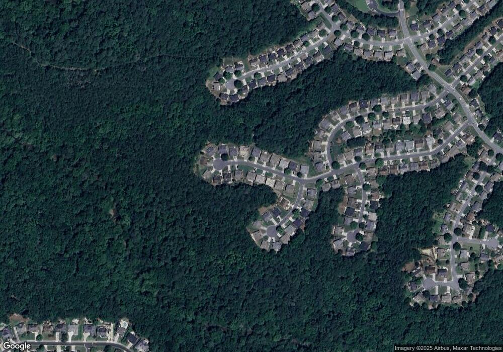
Map
Nearby Homes
- 622 Keeneland Terrace
- 103 Whirlaway Place Unit 5
- 5059 Winding Hills Ln
- 505 Keeneland Ave
- 900 Santa Anita Dr
- 527 Keeneland Ave
- 581 Ashland Pkwy Unit 1
- 518 Wallnut Hall Cove
- 186 Wallnut Hall Cir
- 824 Hillcrest Ln
- 240 Ashland Dr
- 122 Santa Anita Trail
- 505 Knoll Pointe
- 569 Fairway Dr
- 559 Fairway Dr
- 510 Deer Cliff Ct
- 3525 Stone Cliff Way
- 4083 Dream Catcher Dr
- 937 Santa Anita Dr
- 941 Santa Anita Dr Unit 5
- 943 Santa Anita Dr
- 938 Santa Anita Dr
- 940 Santa Anita Dr
- 933 Santa Anita Dr Unit 5
- 934 Santa Anita Dr
- 945 Santa Anita Dr
- 942 Santa Anita Dr Unit 5
- 932 Santa Anita Dr Unit 5
- 944 Santa Anita Dr
- 204 Whirlaway Cove
- 204 Whirlaway Cove Unit 729
- 206 Whirlaway Cove Unit 380
- 206 Whirlaway Cove Unit 5
- 202 Whirlaway Cove
- 931 Santa Anita Dr
- 947 Santa Anita Dr Unit 5
- 208 Whirlaway Cove
- 930 Santa Anita Dr