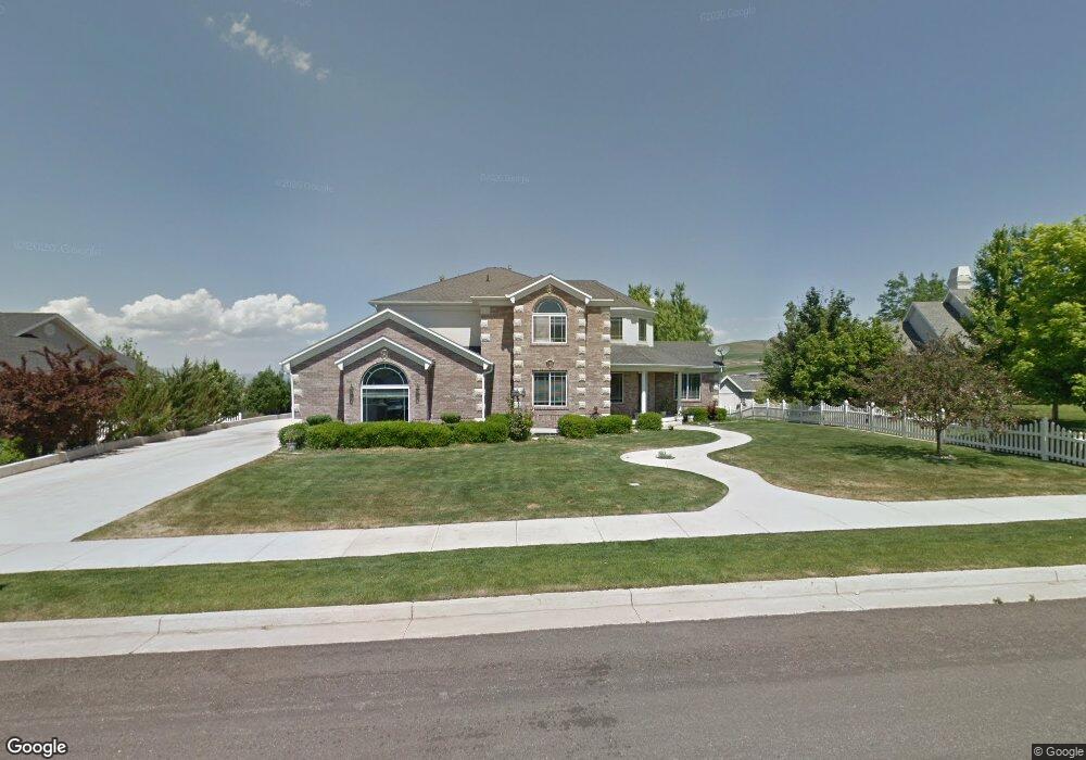
939 Summit Dr Smithfield, UT 84335
Estimated Value: $733,246 - $811,000
4
Beds
4
Baths
4,109
Sq Ft
$186/Sq Ft
Est. Value
About This Home
This home is located at 939 Summit Dr, Smithfield, UT 84335 and is currently estimated at $764,812, approximately $186 per square foot. 939 Summit Dr is a home located in Cache County with nearby schools including Sunrise School, North Cache Middle School, and White Pine Middle School.
Ownership History
Date
Name
Owned For
Owner Type
Purchase Details
Closed on
Jul 21, 2014
Sold by
Zheng Chen
Bought by
Zheng Chen and Feng Lei
Current Estimated Value
Purchase Details
Closed on
Jan 18, 2011
Sold by
Anderson Randal and Anderson Shauntel
Bought by
Chen Shan Zhong
Purchase Details
Closed on
Jun 14, 2005
Sold by
Anderson Randal Carl and Anderson Shauntel
Bought by
Anderson Randal and Anderson Shauntel
Home Financials for this Owner
Home Financials are based on the most recent Mortgage that was taken out on this home.
Original Mortgage
$84,600
Interest Rate
5.72%
Mortgage Type
Purchase Money Mortgage
Create a Home Valuation Report for This Property
The Home Valuation Report is an in-depth analysis detailing your home's value as well as a comparison with similar homes in the area
Home Values in the Area
Average Home Value in this Area
Purchase History
| Date | Buyer | Sale Price | Title Company |
|---|---|---|---|
| Zheng Chen | -- | Accommodation | |
| Zheng Chen | -- | American Secure Title | |
| Chen Shan Zhong | -- | American Secure Title Logan | |
| Anderson Randal | -- | Access Title Company | |
| Anderson Randal Carl | -- | Access Title Company |
Source: Public Records
Mortgage History
| Date | Status | Borrower | Loan Amount |
|---|---|---|---|
| Previous Owner | Anderson Randal Carl | $84,600 | |
| Previous Owner | Anderson Randal | $338,400 |
Source: Public Records
Tax History
| Year | Tax Paid | Tax Assessment Tax Assessment Total Assessment is a certain percentage of the fair market value that is determined by local assessors to be the total taxable value of land and additions on the property. | Land | Improvement |
|---|---|---|---|---|
| 2025 | $3,155 | $422,420 | $0 | $0 |
| 2024 | $3,039 | $381,620 | $0 | $0 |
| 2023 | $3,188 | $378,595 | $0 | $0 |
| 2022 | $3,240 | $378,595 | $0 | $0 |
| 2021 | $3,192 | $569,785 | $95,500 | $474,285 |
| 2020 | $2,696 | $448,941 | $95,500 | $353,441 |
| 2019 | $2,698 | $428,241 | $74,800 | $353,441 |
| 2018 | $2,489 | $382,140 | $74,800 | $307,340 |
| 2017 | $2,323 | $194,810 | $0 | $0 |
| 2016 | $2,364 | $194,810 | $0 | $0 |
| 2015 | $2,356 | $193,430 | $0 | $0 |
| 2014 | $2,261 | $189,315 | $0 | $0 |
| 2013 | -- | $189,315 | $0 | $0 |
Source: Public Records
Map
Nearby Homes
- 929 Summit Dr
- 951 Summit Dr
- 919 Summit Dr
- 298 Hillside Dr
- 932 Summit Dr
- 966 Summit Dr
- 897 Summit Dr Unit 6
- 897 Summit Dr
- 288 Hillside Dr
- 918 Summit Dr
- 978 Summit Dr
- 885 Summit Dr
- 269 Hillside Dr
- 272 Hillside Dr
- 988 Summit Dr Unit 34
- 988 Summit Dr
- 890 Summit Dr
- 851 Summit Dr
- 255 Hillside Dr
- 260 Hillside Dr
Your Personal Tour Guide
Ask me questions while you tour the home.