939 SW Seabrook Ln Waldport, OR 97394
Estimated Value: $384,000 - $630,000
3
Beds
2
Baths
1,296
Sq Ft
$377/Sq Ft
Est. Value
About This Home
This home is located at 939 SW Seabrook Ln, Waldport, OR 97394 and is currently estimated at $488,845, approximately $377 per square foot. 939 SW Seabrook Ln is a home located in Lincoln County with nearby schools including Crestview Heights School, Waldport High and Middle School, and Angell JCC.
Ownership History
Date
Name
Owned For
Owner Type
Purchase Details
Closed on
Jan 3, 2009
Sold by
Oboyle Peter A and Oboyle Phyllis E
Bought by
Oboyle Peter A and Oboyle Phyllis E
Current Estimated Value
Home Financials for this Owner
Home Financials are based on the most recent Mortgage that was taken out on this home.
Original Mortgage
$600,000
Outstanding Balance
$320,481
Interest Rate
2.65%
Mortgage Type
Reverse Mortgage Home Equity Conversion Mortgage
Estimated Equity
$168,364
Purchase Details
Closed on
Sep 27, 2005
Sold by
Oboyle Peter and Oboyle Phyllis
Bought by
Oboyle Peter A and Oboyle Phyllis
Purchase Details
Closed on
Jun 7, 2005
Sold by
Hedeen Paul E and Hedeen Sylvia W
Bought by
Oboyle Peter A and Oboyle Phyllis E
Home Financials for this Owner
Home Financials are based on the most recent Mortgage that was taken out on this home.
Original Mortgage
$49,000
Interest Rate
5.72%
Mortgage Type
Stand Alone Second
Create a Home Valuation Report for This Property
The Home Valuation Report is an in-depth analysis detailing your home's value as well as a comparison with similar homes in the area
Home Values in the Area
Average Home Value in this Area
Purchase History
| Date | Buyer | Sale Price | Title Company |
|---|---|---|---|
| Oboyle Peter A | -- | None Available | |
| Oboyle Peter A | -- | -- | |
| Oboyle Peter A | $245,000 | First American Title Ins Co |
Source: Public Records
Mortgage History
| Date | Status | Borrower | Loan Amount |
|---|---|---|---|
| Open | Oboyle Peter A | $600,000 | |
| Closed | Oboyle Peter A | $49,000 | |
| Closed | Oboyle Peter A | $196,000 |
Source: Public Records
Tax History Compared to Growth
Tax History
| Year | Tax Paid | Tax Assessment Tax Assessment Total Assessment is a certain percentage of the fair market value that is determined by local assessors to be the total taxable value of land and additions on the property. | Land | Improvement |
|---|---|---|---|---|
| 2025 | $3,221 | $233,500 | -- | -- |
| 2024 | $3,171 | $226,700 | -- | -- |
| 2023 | $3,067 | $220,100 | $0 | $0 |
| 2022 | $2,763 | $213,690 | $0 | $0 |
| 2021 | $2,712 | $207,470 | $0 | $0 |
| 2020 | $2,664 | $201,430 | $0 | $0 |
| 2019 | $2,562 | $195,570 | $0 | $0 |
| 2018 | $2,525 | $189,880 | $0 | $0 |
| 2017 | $2,386 | $184,350 | $0 | $0 |
| 2016 | $2,175 | $178,990 | $0 | $0 |
| 2015 | $1,871 | $165,860 | $0 | $0 |
| 2014 | $1,872 | $165,550 | $0 | $0 |
| 2013 | -- | $176,910 | $0 | $0 |
Source: Public Records
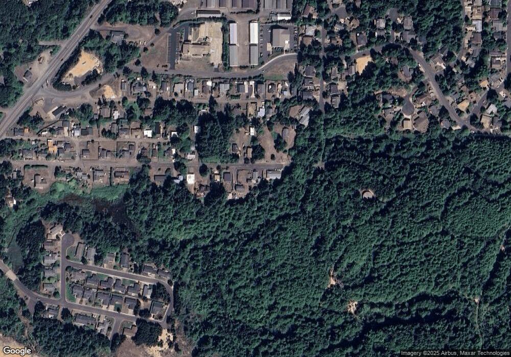
Map
Nearby Homes
- 1152 SW Southmayd Ln
- TL 600 SW Sailfish Loop
- TL-700 SW Sailfish
- 760 SW Range Dr
- 1590 SW Fairway Dr
- 1215 SW Ocean Hills Dr
- TL 10200 SW Chad Dr
- 1420 SW Fairway Dr
- 600 SW Pacific Coast Hwy
- 1409 SW Adahi Ave
- 1200 Blk Sw Norwood Drive Tl0120
- 1410 SW Forest Pkwy
- 1345 SW Fairway Dr
- 700 Blk SW Kelsie Ln
- 1200 Blk Norwood Dr Tl012
- 415 SW Range Dr
- 2220 SW Green Ln
- 125 SW Range Dr Unit 2
- 925 SW Dolores Dr
- TL 300 SW Dolores Dr
- 961 SW Seabrook Ln
- 965 SW Seabrook Ln
- 952 SW Seabrook Ln
- 921 SW Seabrook Ln
- 977 SW Seabrook Ln
- 0 SW Seabrook Ln Unit 99-91195
- 0 SW Seabrook Ln Unit 99-90569
- 0 SW Seabrook Ln Unit 99-90995
- 0 SW Seabrook Ln Unit 4100
- 989 SW Seabrook Ln
- 920 SW Seabrook Ln
- 1106 SW Tara Ln
- 1011 SW Seabrook Ln
- 1010 SW Seabrook Ln
- 985 SW Tara Ln
- 945 SW Tara Ln
- 931 SW Tara Ln
- 1000 SW Seabrook Ln
- 1039 SW Seabrook Ln
- 1000 SW Tara # Blk Ln