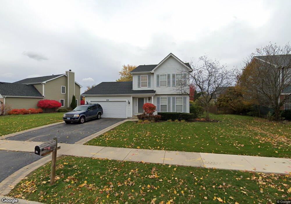
939 W Briarcliff Rd Bolingbrook, IL 60440
Balstrode Park NeighborhoodEstimated Value: $371,000 - $410,000
3
Beds
3
Baths
1,695
Sq Ft
$227/Sq Ft
Est. Value
About This Home
This home is located at 939 W Briarcliff Rd, Bolingbrook, IL 60440 and is currently estimated at $385,473, approximately $227 per square foot. 939 W Briarcliff Rd is a home located in Will County with nearby schools including Jamie Mcgee Elementary School, Jane Addams Middle School, and Brooks Middle School.
Ownership History
Date
Name
Owned For
Owner Type
Purchase Details
Closed on
Dec 1, 2023
Sold by
Cole Taylor Bank Land Trust
Bought by
Sanders Ozell
Current Estimated Value
Purchase Details
Closed on
Mar 15, 1994
Sold by
Cole Taylor Bank
Bought by
Sanders Ozell and Sanders Coletha
Home Financials for this Owner
Home Financials are based on the most recent Mortgage that was taken out on this home.
Original Mortgage
$131,000
Interest Rate
7.35%
Create a Home Valuation Report for This Property
The Home Valuation Report is an in-depth analysis detailing your home's value as well as a comparison with similar homes in the area
Home Values in the Area
Average Home Value in this Area
Purchase History
| Date | Buyer | Sale Price | Title Company |
|---|---|---|---|
| Sanders Ozell | -- | None Listed On Document | |
| Sanders Ozell | $138,000 | Land Title Group Inc |
Source: Public Records
Mortgage History
| Date | Status | Borrower | Loan Amount |
|---|---|---|---|
| Previous Owner | Sanders Ozell | $131,000 |
Source: Public Records
Tax History Compared to Growth
Tax History
| Year | Tax Paid | Tax Assessment Tax Assessment Total Assessment is a certain percentage of the fair market value that is determined by local assessors to be the total taxable value of land and additions on the property. | Land | Improvement |
|---|---|---|---|---|
| 2024 | $9,562 | $113,540 | $21,216 | $92,324 |
| 2023 | $9,562 | $102,159 | $19,089 | $83,070 |
| 2022 | $8,511 | $92,102 | $17,210 | $74,892 |
| 2021 | $8,066 | $86,117 | $16,092 | $70,025 |
| 2020 | $7,817 | $83,285 | $15,563 | $67,722 |
| 2019 | $7,565 | $79,319 | $14,822 | $64,497 |
| 2018 | $7,262 | $75,917 | $14,186 | $61,731 |
| 2017 | $6,913 | $71,959 | $13,446 | $58,513 |
| 2016 | $6,712 | $68,500 | $12,800 | $55,700 |
| 2015 | $6,569 | $65,700 | $12,300 | $53,400 |
| 2014 | $6,569 | $65,700 | $12,300 | $53,400 |
| 2013 | $6,569 | $67,000 | $12,500 | $54,500 |
Source: Public Records
Map
Nearby Homes
- 156 Glen Lake Dr
- 109 Commonwealth Dr
- 141 Campbell Dr
- 206 Christine Way Unit 2
- 4 Claridge Ct
- 157 N Orchard Dr
- 11 Penny Ct
- 1031 Bothwell Cir
- 112 S Orchard Dr
- 284 Berkeley Dr Unit 1
- 140 Thackeray Dr
- 1086 Lily Field Ln
- 353 Foster Way Unit 2
- 1103 Lily Field Ln
- 257 Plainview Dr
- 20 Lily Ct
- 304 Claridge Cir
- 267 Clarendon Ln Unit 1
- 836 Lily Cache Ln
- 238 Paddington Ln
- 943 W Briarcliff Rd
- 935 W Briarcliff Rd
- 7 Brittany Ct
- 8 Brittany Ct
- 951 W Briarcliff Rd
- 931 W Briarcliff Rd
- 9 Brittany Ct
- 940 W Briarcliff Rd
- 6 Brittany Ct
- 963 W Briarcliff Rd
- 936 W Briarcliff Rd
- 932 W Briarcliff Rd
- 948 W Briarcliff Rd
- 164 Penny Ln
- 928 W Briarcliff Rd
- 5 Brittany Ct
- 163 Penny Ln
- 973 W Briarcliff Rd
- 923 W Briarcliff Rd
- 977 W Briarcliff Rd