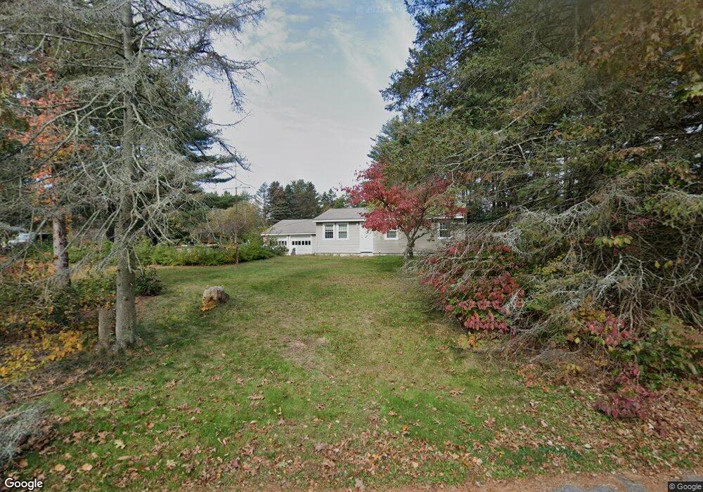
939 West St Uxbridge, MA 01569
Estimated Value: $514,035 - $634,000
4
Beds
1
Bath
1,648
Sq Ft
$344/Sq Ft
Est. Value
About This Home
This home is located at 939 West St, Uxbridge, MA 01569 and is currently estimated at $566,509, approximately $343 per square foot. 939 West St is a home located in Worcester County with nearby schools including Uxbridge High School.
Ownership History
Date
Name
Owned For
Owner Type
Purchase Details
Closed on
Jun 23, 1998
Sold by
Hetherington George and Hetherington Dorothy
Bought by
Laurel Brook Club
Current Estimated Value
Create a Home Valuation Report for This Property
The Home Valuation Report is an in-depth analysis detailing your home's value as well as a comparison with similar homes in the area
Home Values in the Area
Average Home Value in this Area
Purchase History
| Date | Buyer | Sale Price | Title Company |
|---|---|---|---|
| Laurel Brook Club | $108,213 | -- |
Source: Public Records
Mortgage History
| Date | Status | Borrower | Loan Amount |
|---|---|---|---|
| Open | Laurel Brook Club | $212,000 | |
| Closed | Laurel Brook Club | $80,000 | |
| Closed | Laurel Brook Club | $49,000 | |
| Previous Owner | Laurel Brook Club | $135,200 |
Source: Public Records
Tax History Compared to Growth
Tax History
| Year | Tax Paid | Tax Assessment Tax Assessment Total Assessment is a certain percentage of the fair market value that is determined by local assessors to be the total taxable value of land and additions on the property. | Land | Improvement |
|---|---|---|---|---|
| 2025 | $56 | $425,100 | $173,100 | $252,000 |
| 2024 | $5,093 | $394,200 | $164,400 | $229,800 |
| 2023 | $4,675 | $335,100 | $141,900 | $193,200 |
| 2022 | $4,468 | $294,700 | $124,500 | $170,200 |
| 2021 | $4,621 | $292,100 | $121,900 | $170,200 |
| 2020 | $4,639 | $277,100 | $120,100 | $157,000 |
| 2019 | $4,750 | $273,800 | $120,100 | $153,700 |
| 2018 | $4,475 | $260,600 | $120,100 | $140,500 |
| 2017 | $4,499 | $265,300 | $110,400 | $154,900 |
| 2016 | $4,883 | $277,900 | $105,100 | $172,800 |
| 2015 | $4,780 | $274,700 | $105,100 | $169,600 |
Source: Public Records
Map
Nearby Homes
- 13 Perry St
- 0 White Ct (Lot 3 - Left Side)
- 307 S East Main St Unit Lot 9
- 303 S East Main St Unit Lot 8
- 299 S East Main St Unit Lot 7
- 279 S East Main St Unit Lot 2
- 295 S East Main St Unit Lot 6
- 35 Perry St
- 25 Fairbanks Ct
- 98 Mantell Rd
- 296 Yew St
- 127 Turner Farm Rd
- 117 Turner Farm Rd
- 46 Turner Farm Rd
- 29 Glendale St
- 12 Turner Farm Rd
- 18 Turner Farm Rd
- 4 Orange St Unit Lot 11
- 405 West St
- 0 S East Main St
- 721 Chocolog Rd
- 925 West St
- 695 Chocolog Rd
- 731 Chocolog Rd
- 710 Chocolog Rd
- 912 West St
- 0 Hathaway Ln
- 685 Chocolog Rd
- 744 Chocolog Rd
- 756 Chocolog Rd
- 1012 Hathaway Ln
- 795 Chocolog Rd
- 611 Chocolog Rd
- 601 Chocolog Rd
- 660 Hathaway Ln
- 591 Chocolog Rd
- lot 3 Hathaway Ln
- lot 4 Hathaway Ln
- 1105 Hathaway Ln
- 598 Chocolog Rd