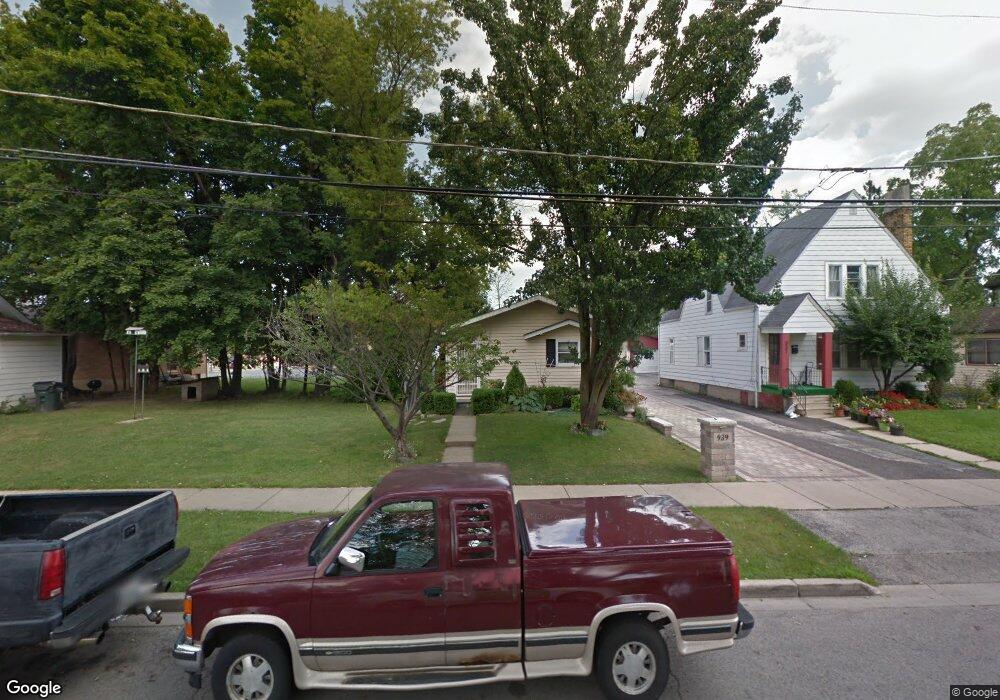
939 Yeoman St Waukegan, IL 60085
Waukegan Gardens NeighborhoodEstimated Value: $177,000 - $205,000
--
Bed
1
Bath
960
Sq Ft
$194/Sq Ft
Est. Value
About This Home
This home is located at 939 Yeoman St, Waukegan, IL 60085 and is currently estimated at $186,024, approximately $193 per square foot. 939 Yeoman St is a home located in Lake County with nearby schools including Whittier Elementary School, Edith M Smith Middle School, and Waukegan High School.
Ownership History
Date
Name
Owned For
Owner Type
Purchase Details
Closed on
Jan 28, 1994
Sold by
Rios Miguel A and Rios Ana C
Bought by
Garcia Alfredo and Garcia Alicia
Current Estimated Value
Home Financials for this Owner
Home Financials are based on the most recent Mortgage that was taken out on this home.
Original Mortgage
$70,349
Interest Rate
7.26%
Mortgage Type
FHA
Create a Home Valuation Report for This Property
The Home Valuation Report is an in-depth analysis detailing your home's value as well as a comparison with similar homes in the area
Home Values in the Area
Average Home Value in this Area
Purchase History
| Date | Buyer | Sale Price | Title Company |
|---|---|---|---|
| Garcia Alfredo | $46,666 | Chicago Title Insurance Co |
Source: Public Records
Mortgage History
| Date | Status | Borrower | Loan Amount |
|---|---|---|---|
| Closed | Garcia Alfredo | $70,349 |
Source: Public Records
Tax History Compared to Growth
Tax History
| Year | Tax Paid | Tax Assessment Tax Assessment Total Assessment is a certain percentage of the fair market value that is determined by local assessors to be the total taxable value of land and additions on the property. | Land | Improvement |
|---|---|---|---|---|
| 2024 | $3,902 | $45,765 | $7,466 | $38,299 |
| 2023 | $3,902 | $41,377 | $6,750 | $34,627 |
| 2022 | $3,748 | $38,337 | $5,158 | $33,179 |
| 2021 | $3,285 | $31,509 | $4,510 | $26,999 |
| 2020 | $3,328 | $29,355 | $4,202 | $25,153 |
| 2019 | $3,349 | $26,899 | $3,850 | $23,049 |
| 2018 | $2,965 | $22,931 | $4,844 | $18,087 |
| 2017 | $2,886 | $20,288 | $4,286 | $16,002 |
| 2016 | $2,724 | $17,629 | $3,724 | $13,905 |
| 2015 | $2,665 | $15,778 | $3,333 | $12,445 |
| 2014 | $2,982 | $17,626 | $3,068 | $14,558 |
| 2012 | $3,696 | $19,095 | $3,323 | $15,772 |
Source: Public Records
Map
Nearby Homes
- 824 N Butrick St
- 1000 Pine St
- 917 N Linden Ave
- 968 Judge Ave
- 1117 Judge Ave
- 1105 Woodlawn Cir
- 1038 Indiana Ave
- 1504 W Glen Flora Ave
- 1005 N Lewis Ave
- 509 N Butrick St
- 1019 N Lewis Ave
- 1213 Grand Ave
- 620 N Poplar St
- 918 N Ash St
- 702 Franklin St
- 522 N Poplar St
- 511 Chestnut St
- 1110 N Ash St
- 428 N Poplar St
- 1122 N Ash St
- 937 Yeoman St
- 935 Yeoman St
- 1417 W Ridgeland Ave
- 1421 W Ridgeland Ave
- 931 Yeoman St
- 938 N Butrick St
- 936 N Butrick St
- 927 Yeoman St
- 932 N Butrick St
- 1501 W Ridgeland Ave
- 1401 W Ridgeland Ave
- 944 Yeoman St
- LOT 38 Ridgeland Ave
- 921 Yeoman St
- 940 Yeoman St
- 928 N Butrick St
- 936 Yeoman St
- 932 Yeoman St
- 924 N Butrick St
- 1509 W Ridgeland Ave