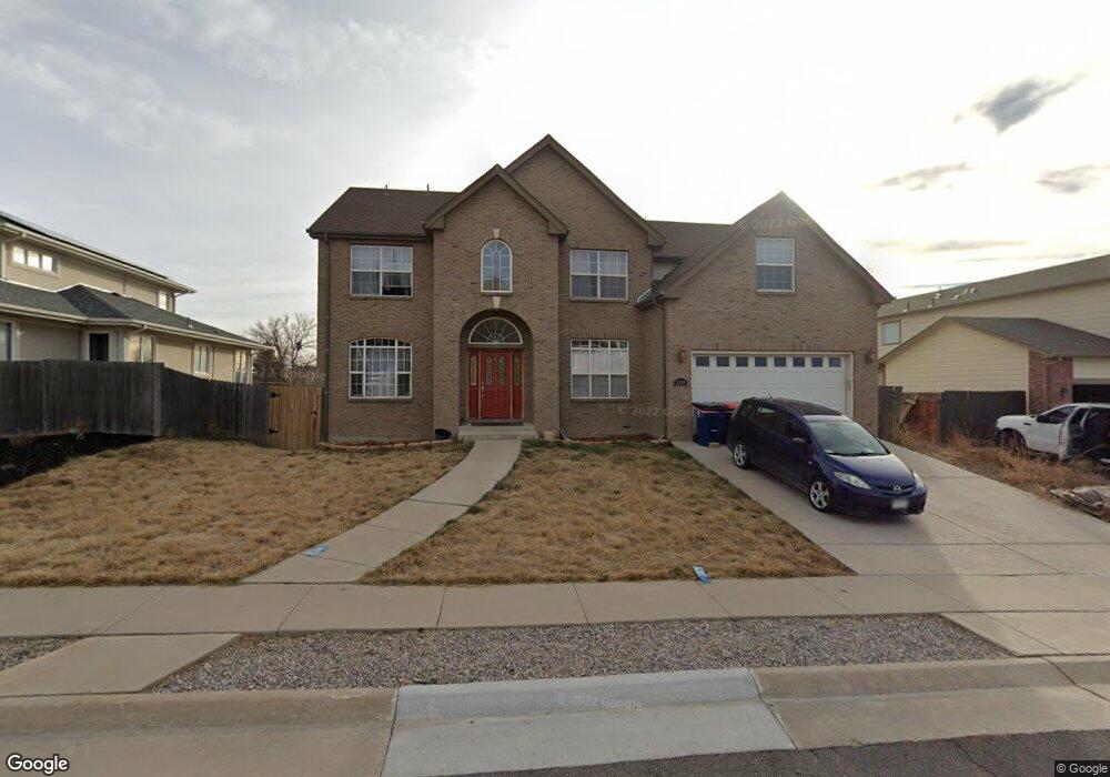
9390 W 67th Place Arvada, CO 80004
Scenic Heights NeighborhoodEstimated Value: $825,678 - $958,000
5
Beds
4
Baths
2,681
Sq Ft
$332/Sq Ft
Est. Value
About This Home
This home is located at 9390 W 67th Place, Arvada, CO 80004 and is currently estimated at $889,670, approximately $331 per square foot. 9390 W 67th Place is a home located in Jefferson County with nearby schools including Secrest Elementary School, Peck Elementary School, and Arvada K-8.
Ownership History
Date
Name
Owned For
Owner Type
Purchase Details
Closed on
Jan 14, 2005
Sold by
Vigil Subdivision Inc
Bought by
Desind Jay
Current Estimated Value
Home Financials for this Owner
Home Financials are based on the most recent Mortgage that was taken out on this home.
Original Mortgage
$311,950
Outstanding Balance
$157,499
Interest Rate
5.75%
Mortgage Type
New Conventional
Estimated Equity
$732,171
Create a Home Valuation Report for This Property
The Home Valuation Report is an in-depth analysis detailing your home's value as well as a comparison with similar homes in the area
Home Values in the Area
Average Home Value in this Area
Purchase History
| Date | Buyer | Sale Price | Title Company |
|---|---|---|---|
| Desind Jay | $389,950 | Land Title Guarantee Company |
Source: Public Records
Mortgage History
| Date | Status | Borrower | Loan Amount |
|---|---|---|---|
| Open | Desind Jay | $311,950 | |
| Closed | Desind Jay | $58,450 |
Source: Public Records
Tax History Compared to Growth
Tax History
| Year | Tax Paid | Tax Assessment Tax Assessment Total Assessment is a certain percentage of the fair market value that is determined by local assessors to be the total taxable value of land and additions on the property. | Land | Improvement |
|---|---|---|---|---|
| 2024 | $5,452 | $56,206 | $21,097 | $35,109 |
| 2023 | $5,452 | $56,206 | $21,097 | $35,109 |
| 2022 | $4,352 | $44,434 | $15,968 | $28,466 |
| 2021 | $4,424 | $45,713 | $16,428 | $29,285 |
| 2020 | $4,069 | $42,164 | $14,210 | $27,954 |
| 2019 | $4,014 | $42,164 | $14,210 | $27,954 |
| 2018 | $3,653 | $37,303 | $9,437 | $27,866 |
| 2017 | $3,344 | $37,303 | $9,437 | $27,866 |
| 2016 | $3,172 | $33,330 | $6,226 | $27,104 |
| 2015 | $3,294 | $33,330 | $6,226 | $27,104 |
| 2014 | $3,294 | $32,535 | $6,625 | $25,910 |
Source: Public Records
Map
Nearby Homes
- 6750 Garrison St
- 9173 W 66th Place
- 6842 Garland St
- 9743 W 67th Place
- 6580 Independence Way
- 9642 W 69th Place
- 6455 Field St
- 6572 Kipling St
- 6532 Kipling St
- 6734 Kline St
- 9656 Rensselaer Dr
- 8612 W 69th Place
- 10171 W 69th Ave
- 9636 W 71st Place
- 9667 W 63rd Ave
- 6250 Everett Ct Unit E
- 6371 Brooks Dr
- 9175 Cole Dr
- 6240 Everett Ct Unit F
- 6801 Carr St
- 9400 W 67th Place
- 9380 W 67th Place
- 9389 W 67th Ave
- 9379 W 67th Ave
- 9399 W 67th Ave
- 9370 W 67th Place
- 9381 W 67th Place
- 9369 W 67th Ave
- 9410 W 67th Place
- 6765 Garland Ct
- 9480 W 68th Ave
- 9388 W 67th Ave
- 9420 W 68th Ave
- 9368 W 67th Ave
- 6744 Garland Ct
- 6724 Garland St
- 9410 W 68th Ave
- 9348 W 67th Ave
- 9357 W 67th Ave
- 6754 Garland Ct