9391 Sherwood Dr Kunkletown, PA 18058
Estimated Value: $131,000 - $214,000
1
Bed
1
Bath
624
Sq Ft
$258/Sq Ft
Est. Value
About This Home
This home is located at 9391 Sherwood Dr, Kunkletown, PA 18058 and is currently estimated at $161,019, approximately $258 per square foot. 9391 Sherwood Dr is a home located in Monroe County with nearby schools including Pleasant Valley Elementary School, Pleasant Valley Intermediate School, and Pleasant Valley Middle School.
Ownership History
Date
Name
Owned For
Owner Type
Purchase Details
Closed on
Mar 29, 2024
Sold by
Johnson Howard E
Bought by
Green Brandon L and Green Jessica L
Current Estimated Value
Purchase Details
Closed on
Jun 25, 2010
Sold by
The Bank Of New York Mellon
Bought by
Johnson Howard E
Purchase Details
Closed on
Apr 23, 2010
Sold by
Perez Aurea
Bought by
The Bank Of New York Mellon
Purchase Details
Closed on
Jan 10, 2006
Sold by
Drenkhahn Barry Lee and Drenkhahn Sherry
Bought by
Perez William and Perez Aurea
Home Financials for this Owner
Home Financials are based on the most recent Mortgage that was taken out on this home.
Original Mortgage
$67,035
Interest Rate
6.34%
Mortgage Type
New Conventional
Create a Home Valuation Report for This Property
The Home Valuation Report is an in-depth analysis detailing your home's value as well as a comparison with similar homes in the area
Home Values in the Area
Average Home Value in this Area
Purchase History
| Date | Buyer | Sale Price | Title Company |
|---|---|---|---|
| Green Brandon L | $35,000 | Keystone Premier Settlement Se | |
| Johnson Howard E | $24,000 | None Available | |
| The Bank Of New York Mellon | $3,311 | None Available | |
| Perez William | $83,794 | None Available |
Source: Public Records
Mortgage History
| Date | Status | Borrower | Loan Amount |
|---|---|---|---|
| Previous Owner | Perez William | $67,035 |
Source: Public Records
Tax History Compared to Growth
Tax History
| Year | Tax Paid | Tax Assessment Tax Assessment Total Assessment is a certain percentage of the fair market value that is determined by local assessors to be the total taxable value of land and additions on the property. | Land | Improvement |
|---|---|---|---|---|
| 2025 | $318 | $49,210 | $15,520 | $33,690 |
| 2024 | $226 | $49,210 | $15,520 | $33,690 |
| 2023 | $1,402 | $49,210 | $15,520 | $33,690 |
| 2022 | $1,361 | $49,210 | $15,520 | $33,690 |
| 2021 | $1,330 | $49,210 | $15,520 | $33,690 |
| 2020 | $1,361 | $49,210 | $15,520 | $33,690 |
| 2019 | $1,478 | $8,430 | $1,250 | $7,180 |
| 2018 | $1,461 | $8,430 | $1,250 | $7,180 |
| 2017 | $1,461 | $8,430 | $1,250 | $7,180 |
| 2016 | $215 | $8,430 | $1,250 | $7,180 |
| 2015 | -- | $8,430 | $1,250 | $7,180 |
| 2014 | -- | $8,430 | $1,250 | $7,180 |
Source: Public Records
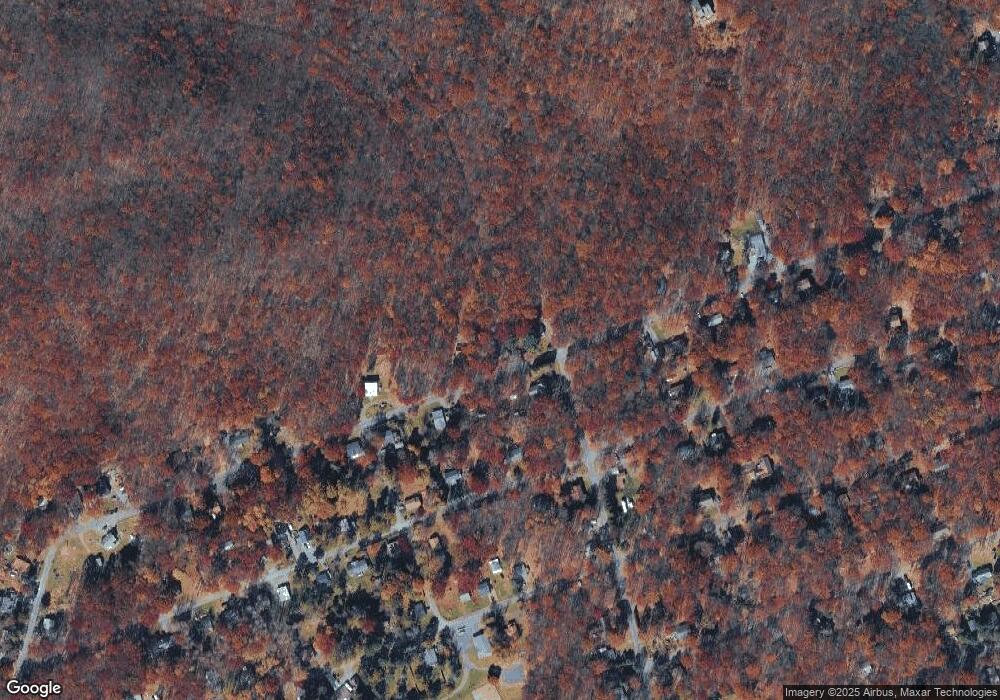
Map
Nearby Homes
- 9153 Robinhood Dr
- 9064 Robinhood Dr
- 8743 Sherwood Dr
- 8749 W Kings Way
- 131 Stone Ridge Rd
- 125 Stone Ridge Rd
- 9081 Sherwood Dr
- 1619 Sugar Ln
- 0 Mv2514 Pawnee Trail
- Lot K15 Lincoln Green Dr K15
- 134 Poplar Ln
- 2546 Pawnee Trail
- 2490 Pawnee Trail
- W14 Greenwood Dr
- 0 Poplar Ln 33 Ln
- 0 Poplar Ln 29 Ln
- 18 Ute Trail
- 2121 Sassafras Ln
- 2125 Sassafras Ln
- 0 Ute Trail
- 9391 E Sherwood Dr
- A25 Kings Way
- 9393 Sherwood Dr
- 8974 E Sherwood Dr
- 9387 Sherwood Dr
- 9018 E Sherwood Dr
- 4598 E Sherwood Dr Unit F7
- 8970 Robinhood Dr
- B-2 E Sherwood Dr
- 9375 Sherwood Dr
- 8980 Robinhood Dr
- 0 Robinhood Dr
- 8935 W Kings Way Unit K2
- 4562 Arrow Ln
- 0 E Sherwood & Robin Hood Dri
- 4562 Mountain Ln
- 8941 Robinhood Dr
- 8965 Robinhood Dr
- 4538 E Sherwood Dr
- 9069 Robinhood Dr