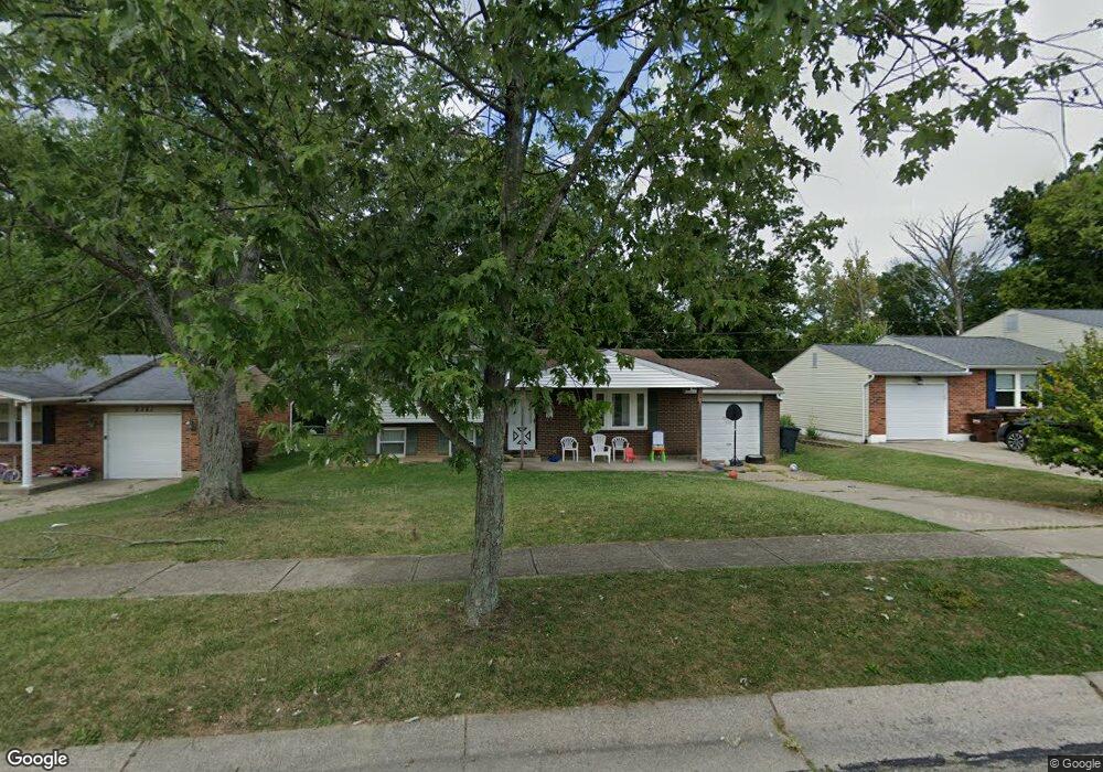
9393 Loralinda Dr Cincinnati, OH 45251
Estimated Value: $186,000 - $231,000
3
Beds
1
Bath
1,520
Sq Ft
$138/Sq Ft
Est. Value
About This Home
This home is located at 9393 Loralinda Dr, Cincinnati, OH 45251 and is currently estimated at $209,619, approximately $137 per square foot. 9393 Loralinda Dr is a home located in Hamilton County with nearby schools including Taylor Elementary School, Colerain Elementary School, and Colerain Middle School.
Ownership History
Date
Name
Owned For
Owner Type
Purchase Details
Closed on
Jan 30, 2019
Sold by
Palmisano David A and Palmisano Deborah
Bought by
Ditullio Luciana
Current Estimated Value
Home Financials for this Owner
Home Financials are based on the most recent Mortgage that was taken out on this home.
Original Mortgage
$74,250
Outstanding Balance
$65,279
Interest Rate
4.5%
Mortgage Type
New Conventional
Estimated Equity
$144,340
Create a Home Valuation Report for This Property
The Home Valuation Report is an in-depth analysis detailing your home's value as well as a comparison with similar homes in the area
Home Values in the Area
Average Home Value in this Area
Purchase History
| Date | Buyer | Sale Price | Title Company |
|---|---|---|---|
| Ditullio Luciana | $99,000 | American Homeland Title |
Source: Public Records
Mortgage History
| Date | Status | Borrower | Loan Amount |
|---|---|---|---|
| Open | Ditullio Luciana | $74,250 |
Source: Public Records
Tax History Compared to Growth
Tax History
| Year | Tax Paid | Tax Assessment Tax Assessment Total Assessment is a certain percentage of the fair market value that is determined by local assessors to be the total taxable value of land and additions on the property. | Land | Improvement |
|---|---|---|---|---|
| 2024 | $3,371 | $63,078 | $8,957 | $54,121 |
| 2023 | $3,392 | $63,078 | $8,957 | $54,121 |
| 2022 | $2,289 | $34,651 | $7,900 | $26,751 |
| 2021 | $2,269 | $34,651 | $7,900 | $26,751 |
| 2020 | $2,293 | $34,651 | $7,900 | $26,751 |
| 2019 | $2,222 | $31,346 | $6,370 | $24,976 |
| 2018 | $1,994 | $31,346 | $6,370 | $24,976 |
| 2017 | $1,889 | $31,346 | $6,370 | $24,976 |
| 2016 | $2,029 | $33,254 | $6,430 | $26,824 |
| 2015 | $2,049 | $33,254 | $6,430 | $26,824 |
| 2014 | $2,052 | $33,254 | $6,430 | $26,824 |
| 2013 | $2,055 | $35,004 | $6,769 | $28,235 |
Source: Public Records
Map
Nearby Homes
- 9302 Loralinda Dr
- 3258 Lillwood Ln
- 9433 Willowgate Dr Unit 9433
- 3151 Birchway Dr Unit 3151
- 9503 Haddington Ct
- 3205 Donnybrook Ln
- 9446 Haddington Ct
- 3364 Amberway Ct Unit 45
- 2908 Libra Ln
- 9717 Loralinda Dr
- 9558 Woodstate Dr Unit 13E
- 3246 Ainsworth Dr
- 3464 Sunbury Ln
- 9568 Woodstate Dr
- 9562 Trafalgar Ct
- 3275 Deshler Dr
- 3276 Deshler Dr
- 9659 Cedarhurst Dr
- 2911 Kingman Dr
- 9648 Cedarhurst Dr
- 9405 Loralinda Dr
- 9381 Loralinda Dr
- 9415 Loralinda Dr
- 9369 Loralinda Dr
- 3194 Windsong Dr
- 3193 Windsong Dr
- 9427 Loralinda Dr
- 9361 Loralinda Dr
- 9370 Loralinda Dr
- 9420 Loralinda Dr
- 9439 Loralinda Dr
- 9353 Loralinda Dr
- 3180 Windsong Dr
- 9358 Loralinda Dr
- 3179 Windsong Dr
- 9438 Loralinda Dr
- 3184 Libra Ln
- 3166 Windsong Dr
- 9449 Loralinda Dr
- 3173 Glenaire Dr