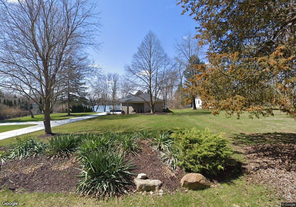
9394 Silverside South Lyon, MI 48178
Estimated Value: $263,000 - $597,000
3
Beds
1
Bath
1,276
Sq Ft
$296/Sq Ft
Est. Value
About This Home
This home is located at 9394 Silverside, South Lyon, MI 48178 and is currently estimated at $377,180, approximately $295 per square foot. 9394 Silverside is a home with nearby schools including William A. Brummer Elementary School, Centennial Middle School, and South Lyon High School.
Ownership History
Date
Name
Owned For
Owner Type
Purchase Details
Closed on
Jan 9, 2025
Sold by
Cox Timothy O
Bought by
Timothy & Margaret Cox Family Trust and Cox
Current Estimated Value
Purchase Details
Closed on
Jun 27, 2023
Sold by
Cox Kathleen
Bought by
Kathleen Cox Trust and Cox
Purchase Details
Closed on
Nov 28, 2016
Sold by
Rankey Judith L
Bought by
Rankey Judith L
Purchase Details
Closed on
Jul 11, 2003
Sold by
Cox Kathleen
Bought by
Cox Kathleen and Cox Timothy O
Create a Home Valuation Report for This Property
The Home Valuation Report is an in-depth analysis detailing your home's value as well as a comparison with similar homes in the area
Home Values in the Area
Average Home Value in this Area
Purchase History
| Date | Buyer | Sale Price | Title Company |
|---|---|---|---|
| Timothy & Margaret Cox Family Trust | -- | None Listed On Document | |
| Kathleen Cox Trust | -- | None Listed On Document | |
| Rankey Judith L | -- | None Available | |
| Cox Kathleen | -- | -- |
Source: Public Records
Tax History Compared to Growth
Tax History
| Year | Tax Paid | Tax Assessment Tax Assessment Total Assessment is a certain percentage of the fair market value that is determined by local assessors to be the total taxable value of land and additions on the property. | Land | Improvement |
|---|---|---|---|---|
| 2025 | $5,729 | $145,700 | $0 | $0 |
| 2024 | $4,547 | $148,800 | $0 | $0 |
| 2023 | $4,334 | $141,500 | $0 | $0 |
| 2022 | $4,767 | $121,300 | $0 | $0 |
| 2021 | $4,767 | $137,000 | $0 | $0 |
| 2020 | $4,767 | $125,200 | $0 | $0 |
| 2019 | $4,762 | $121,300 | $0 | $0 |
| 2018 | $4,680 | $130,900 | $0 | $0 |
| 2017 | $4,690 | $139,600 | $0 | $0 |
| 2016 | $4,718 | $131,300 | $0 | $0 |
| 2014 | $4,302 | $113,900 | $0 | $0 |
| 2012 | $4,302 | $97,500 | $0 | $0 |
Source: Public Records
Map
Nearby Homes
- 11390 Ridge Rd
- 11860 Crooked Ln
- 11904 Moose Ridge Dr
- 9044 Kemper Dr
- 11047 Silver View Ct
- 11055 Silver View Ct
- 12192 Doane Rd
- 11889 Shenandoah Dr Unit 3
- 0 Hillview Dr Unit 25052269
- 11755 Shenandoah Dr Unit 159-4
- 11734 Shenandoah Dr Unit 3
- 11108 Silver Lake Rd
- 9870 Cambridge Ct Unit 2
- 9920 Cambridge Ct
- 10993 Stoney Point Dr
- 51 Deanna Kay Ct Unit 51
- 50 Deanna Kay Ct Unit 50
- 37 Janes Landing Unit 37
- 0000 Stoney Point Unit 5
- 12324 Nantucket Dr Unit 1
- 9390 Silverside
- 9398 Silverside
- 9386 Silverside
- 9382 Silverside
- 9406 Silverside
- 9410 Silverside
- 9370 Silverside
- 9368 Silverside
- 0 Holly Ridge Ln
- 0 Holly Ridge Ln Unit 543247009
- 0 Holly Ridge Ln Unit R216088589
- 0 Holly Ridge Ln Unit 3247009
- 11400 Sumpter Rd
- 9366 Silverside
- 9422 Silverside
- 9362 Silverside
- 11422 Sumpter Rd
- 9358 Silverside
- 9411 Silverside
- 11434 Sumpter Rd