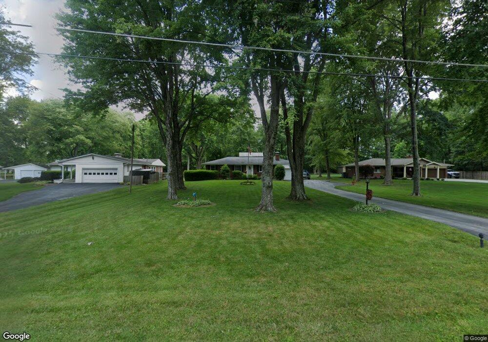
9396 Arnold Ln Loveland, OH 45140
Highpoint NeighborhoodEstimated Value: $257,000 - $328,000
3
Beds
1
Bath
1,242
Sq Ft
$235/Sq Ft
Est. Value
About This Home
This home is located at 9396 Arnold Ln, Loveland, OH 45140 and is currently estimated at $292,067, approximately $235 per square foot. 9396 Arnold Ln is a home located in Hamilton County with nearby schools including Loveland Intermediate School, Loveland Primary School, and Loveland Elementary School.
Ownership History
Date
Name
Owned For
Owner Type
Purchase Details
Closed on
Mar 12, 2009
Sold by
Riesenberg Joann
Bought by
Mack Michael J and Mack Diane J
Current Estimated Value
Home Financials for this Owner
Home Financials are based on the most recent Mortgage that was taken out on this home.
Original Mortgage
$112,400
Interest Rate
5.2%
Mortgage Type
Unknown
Purchase Details
Closed on
Feb 26, 2008
Sold by
Estate Of Robert P Riesenberg
Bought by
Riesenberg Joann
Create a Home Valuation Report for This Property
The Home Valuation Report is an in-depth analysis detailing your home's value as well as a comparison with similar homes in the area
Home Values in the Area
Average Home Value in this Area
Purchase History
| Date | Buyer | Sale Price | Title Company |
|---|---|---|---|
| Mack Michael J | $125,000 | Advanced Land Title Agency | |
| Riesenberg Joann | -- | None Available |
Source: Public Records
Mortgage History
| Date | Status | Borrower | Loan Amount |
|---|---|---|---|
| Previous Owner | Mack Michael J | $112,400 |
Source: Public Records
Tax History Compared to Growth
Tax History
| Year | Tax Paid | Tax Assessment Tax Assessment Total Assessment is a certain percentage of the fair market value that is determined by local assessors to be the total taxable value of land and additions on the property. | Land | Improvement |
|---|---|---|---|---|
| 2024 | $4,207 | $78,894 | $24,206 | $54,688 |
| 2023 | $4,272 | $78,894 | $24,206 | $54,688 |
| 2022 | $3,500 | $53,789 | $23,832 | $29,957 |
| 2021 | $3,414 | $53,789 | $23,832 | $29,957 |
| 2020 | $3,461 | $53,789 | $23,832 | $29,957 |
| 2019 | $3,415 | $49,806 | $22,068 | $27,738 |
| 2018 | $3,433 | $49,806 | $22,068 | $27,738 |
| 2017 | $3,276 | $49,806 | $22,068 | $27,738 |
| 2016 | $3,036 | $43,750 | $19,222 | $24,528 |
| 2015 | $3,026 | $43,750 | $19,222 | $24,528 |
| 2014 | $3,069 | $43,750 | $19,222 | $24,528 |
| 2013 | $2,905 | $43,750 | $19,222 | $24,528 |
Source: Public Records
Map
Nearby Homes
- 9330 Greenhedge Ln
- 9192 Geromes Way
- 5037 Bristol Ct Unit 213
- 9123 E Kemper Rd
- 5022 Bristol Ct Unit 207
- 142 Lakeview Ct
- 131 Lakeview Ct
- 9317 E Kemper Rd
- 4031 White Chapel Ln
- 3021 Stratford Ct
- 10734 Weatherstone
- 1864 W Loveland Ave
- 8840 Wellerstation Dr
- 10720 Weather Stone Ct
- 3026 Stratford Ct
- 3015 Stratford Ct Unit 126
- 1055 Stratford Ct Unit 33
- 247 Sinclair Ct
- 3016 Stratford Ct
- 124 Pheasantlake Dr
- 9406 Arnold Ln
- 9388 Arnold Ln
- 9380 Arnold Ln
- 125 Woodcrest Dr
- 119 Woodcrest Dr
- 9370 Arnold Ln
- 131 Woodcrest Dr
- 9429 Woodcrest Dr
- 9397 Arnold Ln
- 9405 Arnold Ln
- 113 Woodcrest Dr
- 9387 Arnold Ln
- 9403 Mckinney Rd
- 9360 Arnold Ln
- 9379 Arnold Ln
- 135 Woodcrest Dr
- 137 Woodcrest Dr
- 9397 Mckinney Rd
- 9411 Mckinney Rd
- 9365 Arnold Ln