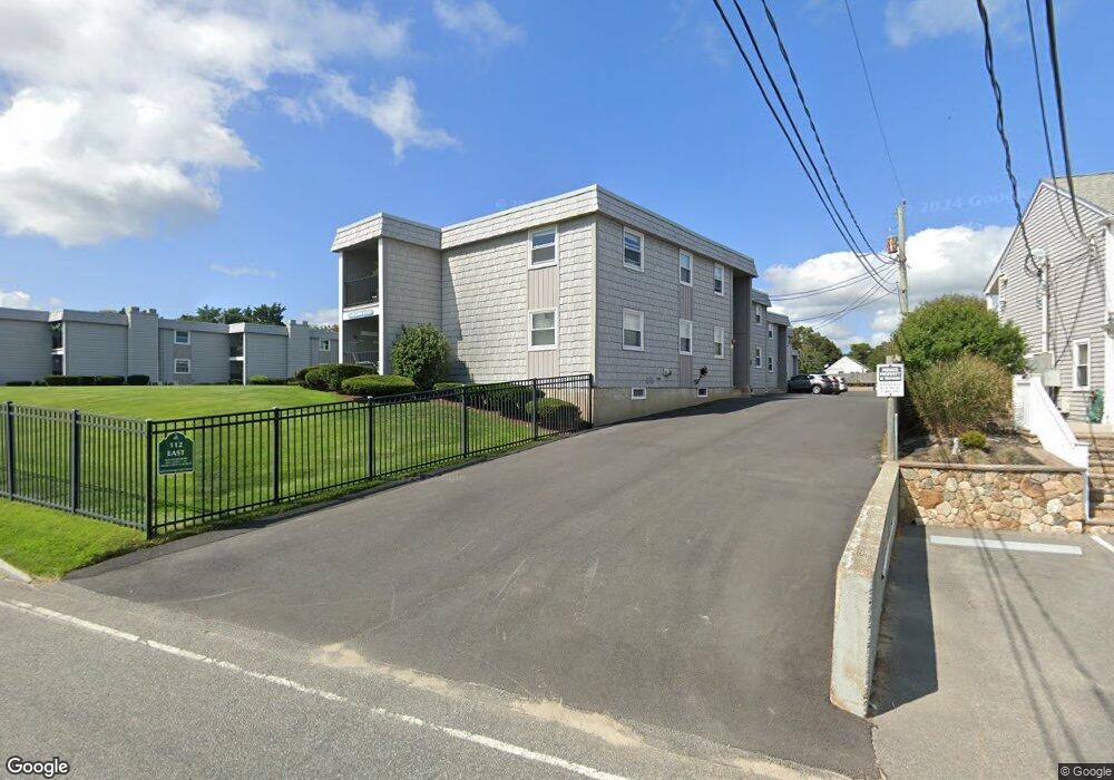
94 Bain Rd Dennis Port, MA 2639
Dennis Port NeighborhoodEstimated Value: $480,000 - $667,000
2
Beds
2
Baths
946
Sq Ft
$639/Sq Ft
Est. Value
About This Home
This home is located at 94 Bain Rd, Dennis Port, MA 2639 and is currently estimated at $604,877, approximately $639 per square foot. 94 Bain Rd is a home located in Barnstable County with nearby schools including Dennis-Yarmouth Regional High School and St. Pius X. School.
Ownership History
Date
Name
Owned For
Owner Type
Purchase Details
Closed on
Jul 17, 2024
Sold by
Morris Bruce R
Bought by
Morris Bruce R and Akell Nancy D
Current Estimated Value
Purchase Details
Closed on
Sep 14, 1979
Bought by
Bayberry Rt
Create a Home Valuation Report for This Property
The Home Valuation Report is an in-depth analysis detailing your home's value as well as a comparison with similar homes in the area
Home Values in the Area
Average Home Value in this Area
Purchase History
| Date | Buyer | Sale Price | Title Company |
|---|---|---|---|
| Morris Bruce R | -- | None Available | |
| Morris Bruce R | -- | None Available | |
| Morris Bruce R | -- | None Available | |
| Morris Bruce R | -- | None Available | |
| Bayberry Rt | -- | -- |
Source: Public Records
Tax History Compared to Growth
Tax History
| Year | Tax Paid | Tax Assessment Tax Assessment Total Assessment is a certain percentage of the fair market value that is determined by local assessors to be the total taxable value of land and additions on the property. | Land | Improvement |
|---|---|---|---|---|
| 2025 | $2,379 | $549,500 | $281,400 | $268,100 |
| 2024 | $2,268 | $516,700 | $270,700 | $246,000 |
| 2023 | $2,193 | $469,700 | $246,000 | $223,700 |
| 2022 | $2,006 | $358,300 | $193,900 | $164,400 |
| 2021 | $0 | $325,300 | $190,100 | $135,200 |
| 2020 | $1,907 | $312,700 | $190,100 | $122,600 |
| 2019 | $5,011 | $318,800 | $202,400 | $116,400 |
| 2018 | $0 | $298,400 | $192,700 | $105,700 |
| 2017 | $1,720 | $279,700 | $177,500 | $102,200 |
| 2016 | $1,582 | $242,300 | $167,300 | $75,000 |
| 2015 | $1,551 | $242,300 | $167,300 | $75,000 |
| 2014 | $1,408 | $221,800 | $157,200 | $64,600 |
Source: Public Records
Map
Nearby Homes
- 120 Old Wharf Rd Unit 11
- 112 Old Wharf Rd Unit E4
- 112 Old Wharf Rd Unit E1
- 154 Old Wharf Rd Unit 26
- 154 Old Wharf Rd Unit 14
- 64 Beaten Rd
- 37 Ocean Dr Unit 2
- 217 Old Wharf Rd Unit 64
- 241 Old Wharf Rd Unit 82
- 241 Old Wharf Rd Unit 127
- 241 Old Wharf Rd Unit 90
- 262 Old Wharf Rd Unit 67
- 262 Old Wharf Rd Unit 5
- 262 Old Wharf Rd Unit 5
- 262 Old Wharf Rd Unit 20
- 262 Old Wharf Rd Unit 87
- 6 Baker Way
- 37 Beach Hills Rd
- 37-A Beach Hills Rd
- 80 Michaels Ave
- 18 Old Wharf Rd
- 112 Old Wharf Rd
- 123 Old Wharf Rd Unit 9
- 123 Old Wharf Rd Unit 9
- 123 Old Wharf Rd Unit 11
- 120 Old Wharf Rd Unit 12
- 120 Old Wharf Rd Unit 10
- 120 Old Wharf Rd Unit 9
- 120 Old Wharf Rd Unit 8
- 120 Old Wharf Rd Unit 7
- 120 Old Wharf Rd Unit 6
- 120 Old Wharf Rd Unit 5
- 120 Old Wharf Rd Unit 4
- 120 Old Wharf Rd Unit 3
- 120 Old Wharf Rd Unit 2
- 120 Old Wharf Rd Unit 1
- 120 Old Wharf Rd Unit 14
- 120 Old Wharf Rd
- 99 Uncle Rolf Rd Unit 14
- 99 Uncle Rolf Rd