94 Bartram Trail Rd Franklin, NC 28734
Estimated Value: $356,000 - $563,000
3
Beds
4
Baths
1,600
Sq Ft
$279/Sq Ft
Est. Value
About This Home
This home is located at 94 Bartram Trail Rd, Franklin, NC 28734 and is currently estimated at $446,538, approximately $279 per square foot. 94 Bartram Trail Rd is a home with nearby schools including Cartoogechaye Elementary School, Mountain View Intermediate School, and Macon Middle School.
Ownership History
Date
Name
Owned For
Owner Type
Purchase Details
Closed on
Jun 3, 2024
Sold by
Revoca Robert and Revoca Jane
Bought by
Revocable Trust Of Darlene Toney Robinson and Robinson
Current Estimated Value
Purchase Details
Closed on
Nov 18, 2019
Sold by
Toney Robert C and Toney Jane W
Bought by
Toney Robert C and Toney Jane W
Purchase Details
Closed on
Mar 5, 1986
Bought by
Toney Robert C
Create a Home Valuation Report for This Property
The Home Valuation Report is an in-depth analysis detailing your home's value as well as a comparison with similar homes in the area
Home Values in the Area
Average Home Value in this Area
Purchase History
| Date | Buyer | Sale Price | Title Company |
|---|---|---|---|
| Revocable Trust Of Darlene Toney Robinson | -- | None Listed On Document | |
| Revocable Trust Of Darlene Toney Robinson | -- | None Listed On Document | |
| Toney Robert C | -- | None Available | |
| Toney Robert C | $6,000 | -- |
Source: Public Records
Tax History
| Year | Tax Paid | Tax Assessment Tax Assessment Total Assessment is a certain percentage of the fair market value that is determined by local assessors to be the total taxable value of land and additions on the property. | Land | Improvement |
|---|---|---|---|---|
| 2025 | $1,400 | $334,890 | $60,820 | $274,070 |
| 2024 | -- | $334,890 | $60,820 | $274,070 |
| 2023 | $1,326 | $334,990 | $60,820 | $274,170 |
| 2022 | $1,326 | $225,730 | $48,410 | $177,320 |
| 2021 | $1,286 | $259,130 | $48,410 | $210,720 |
| 2020 | $1,220 | $259,130 | $48,410 | $210,720 |
| 2018 | $1,128 | $256,130 | $20,920 | $235,210 |
| 2017 | $0 | $256,130 | $20,920 | $235,210 |
| 2016 | $1,103 | $256,130 | $20,920 | $235,210 |
| 2015 | $1,080 | $256,130 | $20,920 | $235,210 |
| 2014 | $903 | $269,070 | $29,640 | $239,430 |
| 2013 | -- | $269,070 | $29,640 | $239,430 |
Source: Public Records
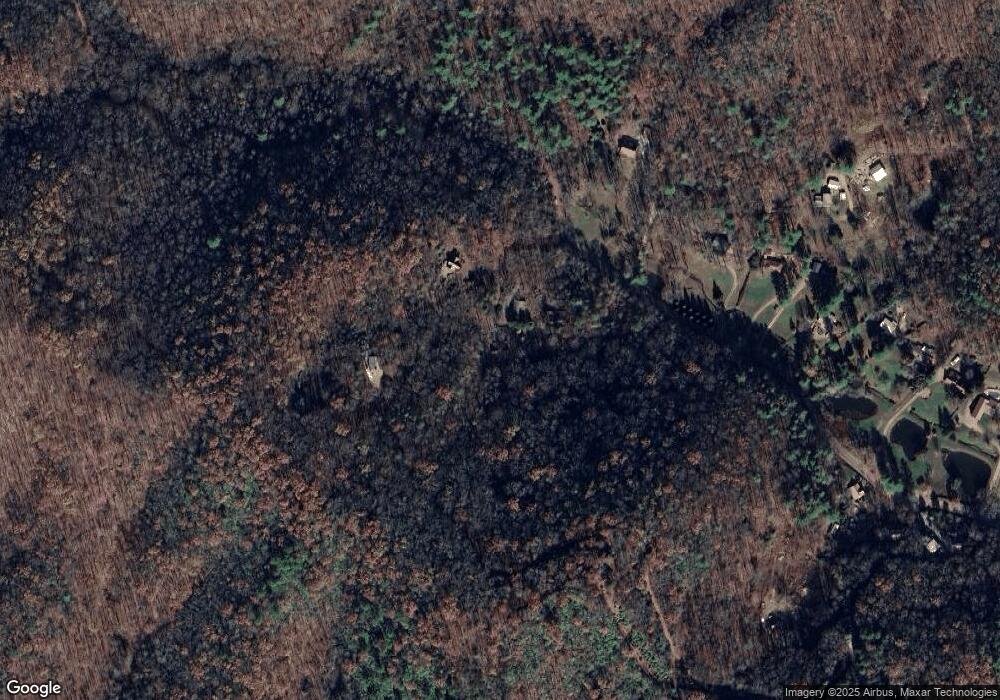
Map
Nearby Homes
- Lot 19 Bartram Trail Rd
- Lot 18 Bartram Trail Rd
- Lot 17 Bartram Trail Rd
- 75 Willowbrook Estate
- 210 Ledbetter Ln
- 14 Westfield Trace
- 33 Westfield Trace
- 400 MacLor Forest Cir
- 160 Westood Estates Rd
- 94 Breezy Knob Rd
- 273 Pressley Circle Rd
- 00 Clarks Chapel Rd
- 527 Saunders Lot 68 Rd
- 527 Saunders Lot 56 Rd
- 527 Saunders Lot #54 Rd
- 00 Chestnut Hill Dr
- 31 Heatherstone Dr
- 00 Millbrook Cove
- 603 Hemlock Hills Dr
- 00 Trimont Mountain Rd
- 0 Bartram Trail Rd
- 00 Bartram Trail Rd
- 107 Bartram Trail Rd
- 193 Bartram Trail Rd
- 289 Bartram Trail Rd
- 355 Bartram Trail Rd
- 36 Cricket Ln
- 47 Cricket Ln
- 1585 Ray Cove Rd
- 1434 Ray Cove Rd
- 1569 Ray Cove Rd
- 1541 Ray Cove Rd
- 1551 Ray Cove Rd
- 167 Cricket Ln
- 110 Tompkins Ln
- 0 River Valley Est Rd
- 70 Overview Rd
- 1351
- 26 Serenity Ln
- 929 Blaine Mountain Rd
Your Personal Tour Guide
Ask me questions while you tour the home.