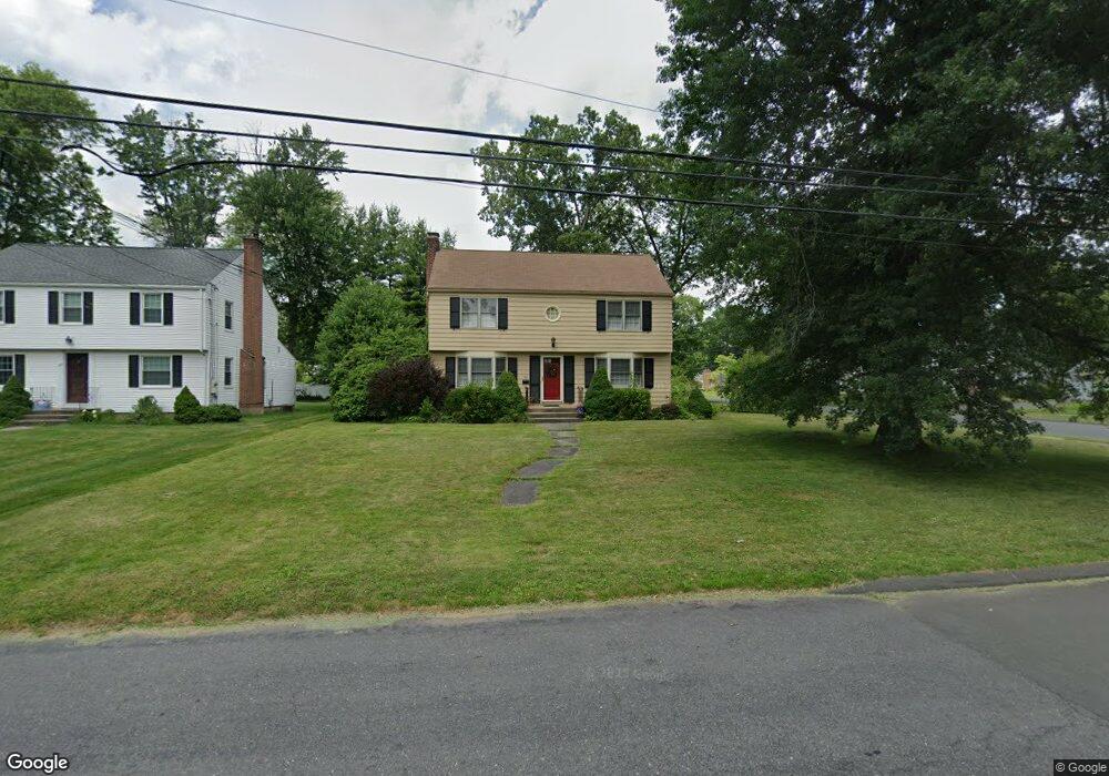
94 Brewster Rd West Hartford, CT 06117
Estimated Value: $512,000 - $601,000
3
Beds
3
Baths
2,065
Sq Ft
$266/Sq Ft
Est. Value
About This Home
This home is located at 94 Brewster Rd, West Hartford, CT 06117 and is currently estimated at $548,637, approximately $265 per square foot. 94 Brewster Rd is a home located in Hartford County with nearby schools including Aiken School, King Philip Middle School, and Delta High School.
Create a Home Valuation Report for This Property
The Home Valuation Report is an in-depth analysis detailing your home's value as well as a comparison with similar homes in the area
Home Values in the Area
Average Home Value in this Area
Tax History Compared to Growth
Tax History
| Year | Tax Paid | Tax Assessment Tax Assessment Total Assessment is a certain percentage of the fair market value that is determined by local assessors to be the total taxable value of land and additions on the property. | Land | Improvement |
|---|---|---|---|---|
| 2025 | $10,639 | $237,580 | $78,470 | $159,110 |
| 2024 | $10,062 | $237,580 | $78,470 | $159,110 |
| 2023 | $9,722 | $237,580 | $78,470 | $159,110 |
| 2022 | $9,665 | $237,580 | $78,470 | $159,110 |
| 2021 | $8,926 | $210,420 | $70,630 | $139,790 |
| 2020 | $8,254 | $197,470 | $62,790 | $134,680 |
| 2019 | $8,254 | $197,470 | $62,790 | $134,680 |
| 2018 | $8,096 | $197,470 | $62,790 | $134,680 |
| 2017 | $8,104 | $197,470 | $62,790 | $134,680 |
| 2016 | $8,070 | $204,260 | $56,840 | $147,420 |
| 2015 | $7,825 | $204,260 | $56,840 | $147,420 |
| 2014 | $7,633 | $204,260 | $56,840 | $147,420 |
Source: Public Records
Map
Nearby Homes
- 139 Mohawk Dr
- 3 Pilgrim Rd
- 11 Lawler Rd
- 148 King Philip Dr
- 320 N Steele Rd
- 1993 Albany Ave
- 30 Farmstead Ln
- 9 Timberwood Rd
- 62 Blue Ridge Ln
- 5 Adams Ln
- 5 Northmoor Rd
- 2581 Albany Ave
- 50 Magnolia Hill
- 3 Trumbull Ln
- 129 Middlebrook Rd
- 15 Sunny Reach Dr
- 47 Flagg Rd
- 1272 Trout Brook Dr
- 111 Bloomfield Ave
- 165 Bloomfield Ave