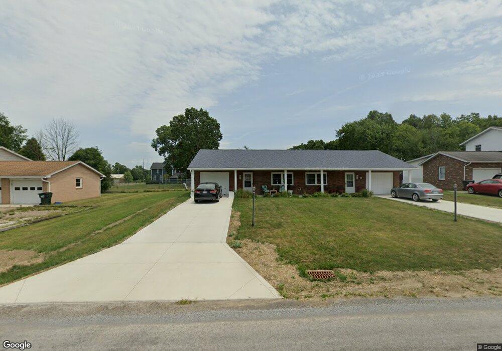
94 Briarcliff Ave Alliance, OH 44601
Estimated Value: $115,000 - $162,813
4
Beds
2
Baths
1,848
Sq Ft
$78/Sq Ft
Est. Value
About This Home
This home is located at 94 Briarcliff Ave, Alliance, OH 44601 and is currently estimated at $144,703, approximately $78 per square foot. 94 Briarcliff Ave is a home located in Stark County with nearby schools including Marlington High School and Regina Coeli/St Joseph School.
Ownership History
Date
Name
Owned For
Owner Type
Purchase Details
Closed on
Apr 5, 2014
Sold by
Grove Abbie J and Grove Kevin M
Bought by
Rainieri Joseph
Current Estimated Value
Purchase Details
Closed on
Jan 23, 2004
Sold by
Grove Michael J
Bought by
Grove Barbara A and Votaw Barbara A
Create a Home Valuation Report for This Property
The Home Valuation Report is an in-depth analysis detailing your home's value as well as a comparison with similar homes in the area
Home Values in the Area
Average Home Value in this Area
Purchase History
| Date | Buyer | Sale Price | Title Company |
|---|---|---|---|
| Rainieri Joseph | $57,500 | None Available | |
| Grove Barbara A | -- | -- |
Source: Public Records
Tax History Compared to Growth
Tax History
| Year | Tax Paid | Tax Assessment Tax Assessment Total Assessment is a certain percentage of the fair market value that is determined by local assessors to be the total taxable value of land and additions on the property. | Land | Improvement |
|---|---|---|---|---|
| 2025 | -- | $46,310 | $17,780 | $28,530 |
| 2024 | -- | $46,310 | $17,780 | $28,530 |
| 2023 | $1,307 | $36,260 | $12,530 | $23,730 |
| 2022 | $1,312 | $36,260 | $12,530 | $23,730 |
| 2021 | $1,316 | $36,260 | $12,530 | $23,730 |
| 2020 | $1,266 | $31,090 | $10,820 | $20,270 |
| 2019 | $1,258 | $31,090 | $10,820 | $20,270 |
| 2018 | $1,260 | $31,090 | $10,820 | $20,270 |
| 2017 | $1,107 | $25,550 | $6,090 | $19,460 |
| 2016 | $1,110 | $25,620 | $6,160 | $19,460 |
| 2015 | $1,060 | $25,620 | $6,160 | $19,460 |
| 2014 | $1,180 | $26,050 | $6,270 | $19,780 |
| 2013 | $587 | $26,050 | $6,270 | $19,780 |
Source: Public Records
Map
Nearby Homes
- 0 W Main St Unit 5090123
- 432 Johnson Ave
- 616 Johnson Ave
- 000 Klinger Ave
- 1039 Glamorgan St
- 520 W Cambridge St
- 479 W High St
- 725 W Summit St
- 118 S Mckinley Ave
- 970 Kingsway St
- 329 1/2 W Main St
- 1030 Sunset Dr
- 1201 Overlook Dr
- 264 W Market St
- 1050 Parkway Blvd
- 000 Meadowbrook Ave
- 1136 Parkway Blvd
- 228 W Oxford St
- 163 W Market St
- 0 Meadowbrook Ave
- 142 Briarcliff Ave
- 72 Briarcliff Ave
- 1378 W Main St
- 115 Briarcliff Ave
- 190 Briarcliff Ave
- 190 192 Briarcliff
- 192 Briarcliff Ave
- 171 Briarcliff Ave
- 1360 W Main St
- 228 Briarcliff Ave
- 138 Bennington Rd NE
- 245 Briarcliff Ave
- 1435 Bennington Rd
- 266 Briarcliff Ave
- 1457 Bennington Rd
- 1421 W Main St
- 281 Briarcliff Ave
- 316 Briarcliff Ave
- 1454 Bennington Rd
- 1310 W Main St