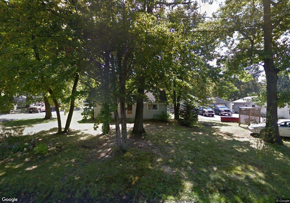
94 Bristol Ave Painesville, OH 44077
Estimated Value: $180,036 - $205,000
3
Beds
2
Baths
1,008
Sq Ft
$188/Sq Ft
Est. Value
About This Home
This home is located at 94 Bristol Ave, Painesville, OH 44077 and is currently estimated at $189,759, approximately $188 per square foot. 94 Bristol Ave is a home located in Lake County with nearby schools including Henry F. Lamuth Middle School, Riverside Junior/Senior High School, and Summit Academy Community School - Painesville.
Ownership History
Date
Name
Owned For
Owner Type
Purchase Details
Closed on
Nov 24, 1997
Sold by
Hilliard Vickie K
Bought by
Ness Chad
Current Estimated Value
Home Financials for this Owner
Home Financials are based on the most recent Mortgage that was taken out on this home.
Original Mortgage
$59,950
Outstanding Balance
$9,874
Interest Rate
7.32%
Mortgage Type
FHA
Estimated Equity
$179,885
Purchase Details
Closed on
Nov 21, 1985
Bought by
Ness Lester W
Create a Home Valuation Report for This Property
The Home Valuation Report is an in-depth analysis detailing your home's value as well as a comparison with similar homes in the area
Home Values in the Area
Average Home Value in this Area
Purchase History
| Date | Buyer | Sale Price | Title Company |
|---|---|---|---|
| Ness Chad | $60,000 | Standard Title Agency Inc | |
| Ness Lester W | -- | -- |
Source: Public Records
Mortgage History
| Date | Status | Borrower | Loan Amount |
|---|---|---|---|
| Open | Ness Chad | $59,950 |
Source: Public Records
Tax History Compared to Growth
Tax History
| Year | Tax Paid | Tax Assessment Tax Assessment Total Assessment is a certain percentage of the fair market value that is determined by local assessors to be the total taxable value of land and additions on the property. | Land | Improvement |
|---|---|---|---|---|
| 2024 | -- | $54,240 | $17,370 | $36,870 |
| 2023 | $4,419 | $40,550 | $13,960 | $26,590 |
| 2022 | $2,489 | $40,550 | $13,960 | $26,590 |
| 2021 | $2,446 | $40,550 | $13,960 | $26,590 |
| 2020 | $2,461 | $35,260 | $12,140 | $23,120 |
| 2019 | $2,480 | $35,260 | $12,140 | $23,120 |
| 2018 | $2,596 | $28,140 | $9,320 | $18,820 |
| 2017 | $2,365 | $28,140 | $9,320 | $18,820 |
| 2016 | $1,777 | $28,140 | $9,320 | $18,820 |
| 2015 | $1,653 | $28,140 | $9,320 | $18,820 |
| 2014 | $1,680 | $28,140 | $9,320 | $18,820 |
| 2013 | $1,643 | $28,140 | $9,320 | $18,820 |
Source: Public Records
Map
Nearby Homes
- 43 Bristol Ave
- V/L Morgan Dr
- 396 Park Rd
- 525 Morgan Dr
- 67 Tanners Farm Dr
- 500 Park Rd
- 65 Tanners Farm Dr
- 5406 Pebble Creek Ln
- 1182 Dalton Dr
- 1172 Dalton Dr
- 30 Orton Rd
- 44 Grove Ave
- 58 Deerfield Dr
- 269 Hale Rd
- 4505 Lane Rd
- 108 Birch Dr
- 238 Radley Dr
- 0 N Ridge Rd Unit 5110949
- 1787 Muirfield Ln
- 65 Country Ln
- 84 Bristol Ave
- 267 Morgan Dr
- 284 Morgan Dr
- 83 Dorchester Dr
- 276 Morgan Dr
- 74 Bristol Ave
- 91 Bristol Ave
- 294 Morgan Dr
- 83 Bristol Ave
- 266 Morgan Dr
- 73 Dorchester Dr
- 73 Bristol Ave
- 60 Bristol Ave
- 2505 Dorchester Dr
- 2506 Bristol Ave
- 63 Dorchester Dr
- 45 Bristol Ave
- 94 Dorchester Dr
- 0 Dorchester Rd
- 84 Dorchester Dr