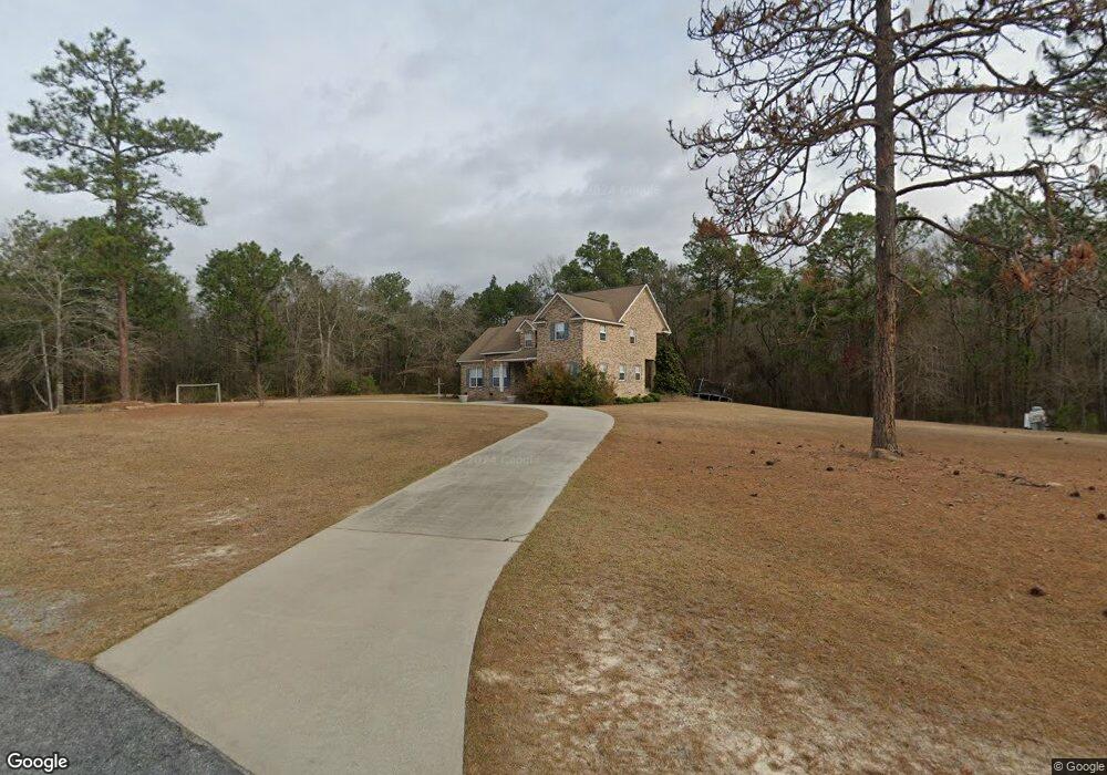
94 Brooke Ln Eastman, GA 31023
Estimated Value: $248,000 - $356,568
--
Bed
3
Baths
2,732
Sq Ft
$111/Sq Ft
Est. Value
About This Home
This home is located at 94 Brooke Ln, Eastman, GA 31023 and is currently estimated at $303,892, approximately $111 per square foot. 94 Brooke Ln is a home located in Dodge County with nearby schools including Dodge County High School.
Ownership History
Date
Name
Owned For
Owner Type
Purchase Details
Closed on
May 13, 2022
Sold by
Cook Stephen D
Bought by
Cook Stephen D
Current Estimated Value
Home Financials for this Owner
Home Financials are based on the most recent Mortgage that was taken out on this home.
Original Mortgage
$126,000
Outstanding Balance
$90,761
Interest Rate
5%
Mortgage Type
New Conventional
Estimated Equity
$213,131
Purchase Details
Closed on
Nov 26, 2001
Sold by
Woodard Glenda
Bought by
Cook Stephen D and Cook Robin M
Create a Home Valuation Report for This Property
The Home Valuation Report is an in-depth analysis detailing your home's value as well as a comparison with similar homes in the area
Home Values in the Area
Average Home Value in this Area
Purchase History
| Date | Buyer | Sale Price | Title Company |
|---|---|---|---|
| Cook Stephen D | $62,600 | -- | |
| Cook Stephen D | $10,000 | -- |
Source: Public Records
Mortgage History
| Date | Status | Borrower | Loan Amount |
|---|---|---|---|
| Open | Cook Stephen D | $126,000 |
Source: Public Records
Tax History Compared to Growth
Tax History
| Year | Tax Paid | Tax Assessment Tax Assessment Total Assessment is a certain percentage of the fair market value that is determined by local assessors to be the total taxable value of land and additions on the property. | Land | Improvement |
|---|---|---|---|---|
| 2024 | $2,879 | $112,739 | $5,297 | $107,442 |
| 2023 | $2,911 | $112,739 | $5,297 | $107,442 |
| 2022 | $2,723 | $107,784 | $4,265 | $103,519 |
| 2021 | $2,688 | $106,119 | $4,265 | $101,854 |
| 2020 | $2,714 | $105,510 | $3,656 | $101,854 |
| 2019 | $2,350 | $90,577 | $3,656 | $86,921 |
| 2018 | $2,350 | $91,948 | $3,656 | $88,292 |
| 2017 | $2,344 | $91,701 | $3,656 | $88,045 |
| 2016 | $2,344 | $93,712 | $3,656 | $90,056 |
| 2015 | -- | $93,712 | $3,656 | $90,056 |
| 2014 | -- | $94,717 | $3,656 | $91,061 |
| 2013 | -- | $94,716 | $3,655 | $91,061 |
Source: Public Records
Map
Nearby Homes
- 0 Jim Pruett Rd Unit 10540625
- 0 Jim Pruett Rd Unit 23612216
- 138 Arthur Woodard Ln
- 5611 Cottondale Ave
- 0 Bill Hambrick Rd Unit 10621395
- 983 Cochran Hwy
- 0 14th Ave Unit 10617460
- 0 14th Ave Unit 7658904
- 0 Ada St Unit 10503110
- 102 Edgewood Ave
- 94 24th Ave
- 5828 Oak St
- 5859 8th Ave
- 281 N Lakes Dr
- 0 Gooch Rd (Lot F)
- 5811 5th Ave
- 5321 Oak St
- 534 Soperton Hwy
- 220 Page St
- 5826 Windsor Way
- 93 Brooke Ln
- 101 Brooke Ln
- 33 Brooke Ln
- 2049 Chester Hwy
- 67 Bell Line Rd
- 2052 Chester Hwy
- 96 Abner Giddens Ln
- 30 Bell Line Rd
- 132 Bell Line Rd
- 144 Scarborough Owens Rd
- 1884 Chester Hwy
- 1525 Ben Giddens Rd
- 192 Bell Line Rd
- 2157 Chester Hwy
- 124 Scarborough Owens Rd
- 37 Elmwood Ln
- 254 Scarborough-Owens Rd
- 58 Giddens Harrell Cemetery Rd
- 1661 Ben Giddens Rd
- 224 Bell Line Rd