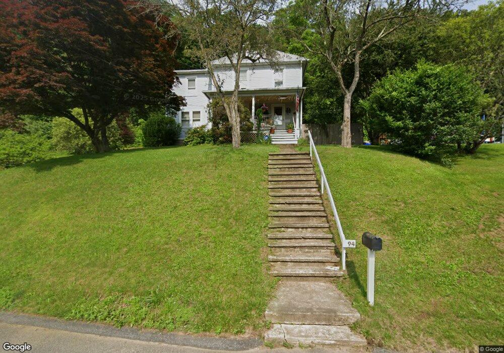
94 Cedar St Seymour, CT 06483
Estimated Value: $297,000 - $406,000
4
Beds
2
Baths
1,942
Sq Ft
$176/Sq Ft
Est. Value
About This Home
This home is located at 94 Cedar St, Seymour, CT 06483 and is currently estimated at $341,467, approximately $175 per square foot. 94 Cedar St is a home located in New Haven County with nearby schools including Seymour Middle School, Seymour High School, and Assumption School.
Ownership History
Date
Name
Owned For
Owner Type
Purchase Details
Closed on
Nov 15, 2021
Sold by
Romano Charles and Romano Patricia
Bought by
Romano Charles
Current Estimated Value
Home Financials for this Owner
Home Financials are based on the most recent Mortgage that was taken out on this home.
Original Mortgage
$155,000
Outstanding Balance
$142,149
Interest Rate
3.05%
Mortgage Type
Stand Alone Refi Refinance Of Original Loan
Estimated Equity
$199,318
Create a Home Valuation Report for This Property
The Home Valuation Report is an in-depth analysis detailing your home's value as well as a comparison with similar homes in the area
Home Values in the Area
Average Home Value in this Area
Purchase History
| Date | Buyer | Sale Price | Title Company |
|---|---|---|---|
| Romano Charles | -- | None Available | |
| Romano Charles | -- | None Available |
Source: Public Records
Mortgage History
| Date | Status | Borrower | Loan Amount |
|---|---|---|---|
| Open | Romano Charles | $155,000 | |
| Closed | Romano Charles | $155,000 |
Source: Public Records
Tax History Compared to Growth
Tax History
| Year | Tax Paid | Tax Assessment Tax Assessment Total Assessment is a certain percentage of the fair market value that is determined by local assessors to be the total taxable value of land and additions on the property. | Land | Improvement |
|---|---|---|---|---|
| 2025 | $4,995 | $180,180 | $29,260 | $150,920 |
| 2024 | $4,495 | $122,010 | $24,430 | $97,580 |
| 2023 | $4,390 | $122,010 | $24,430 | $97,580 |
| 2022 | $4,342 | $122,010 | $24,430 | $97,580 |
| 2021 | $4,235 | $122,010 | $24,430 | $97,580 |
| 2020 | $3,881 | $107,800 | $28,700 | $79,100 |
| 2019 | $3,881 | $107,800 | $28,700 | $79,100 |
| 2018 | $3,881 | $107,800 | $28,700 | $79,100 |
| 2017 | $3,881 | $107,800 | $28,700 | $79,100 |
| 2016 | $3,881 | $107,800 | $28,700 | $79,100 |
| 2015 | $3,821 | $110,460 | $32,270 | $78,190 |
| 2014 | $3,760 | $110,460 | $32,270 | $78,190 |
Source: Public Records
Map
Nearby Homes
- 77 S Main St
- 202 W Church St
- 26-28 S Main St
- 139 Derby Ave
- 50 Bissell Place
- 36 Bungay Terrace
- 9 Wooster St
- 38 Sanford St
- 27 Wood St
- 3 Hine St
- 29 George St
- 61 Pershing Ave
- 226 Walnut St
- 37-14, 49-1, 79-2, 7 Balance Rock Rd
- 28 Brook St
- 114 Balance Rock Rd Unit 12
- 4 Nickel Mine Dr
- 32 Roberts St
- 17 Warren Dr
- 4 Mead Farm Rd