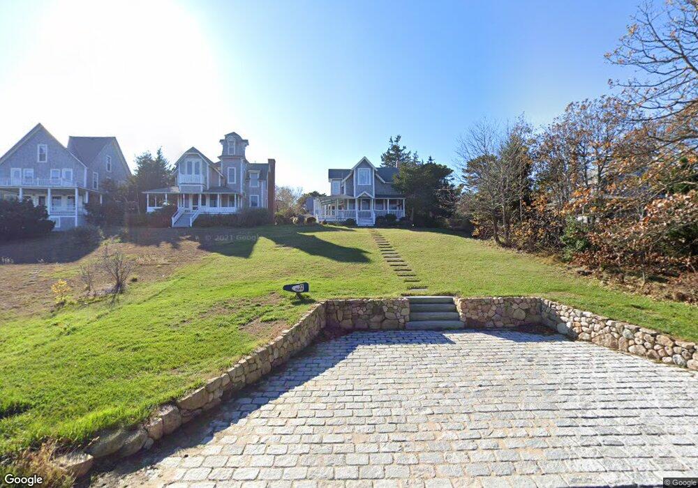
94 E Chop Dr Oak Bluffs, MA 02557
Oak Bluffs NeighborhoodEstimated Value: $1,603,000 - $2,730,000
4
Beds
3
Baths
1,398
Sq Ft
$1,691/Sq Ft
Est. Value
About This Home
This home is located at 94 E Chop Dr, Oak Bluffs, MA 02557 and is currently estimated at $2,364,249, approximately $1,691 per square foot. 94 E Chop Dr is a home with nearby schools including Oak Bluffs Elementary School and Martha's Vineyard Regional High School.
Ownership History
Date
Name
Owned For
Owner Type
Purchase Details
Closed on
Oct 1, 2018
Sold by
Buff Ernest D and Buff Elizabeth L
Bought by
Ebel 94 Llc
Current Estimated Value
Purchase Details
Closed on
Apr 2, 1979
Bought by
Buff Ernest D and Buff Elizabeth L
Create a Home Valuation Report for This Property
The Home Valuation Report is an in-depth analysis detailing your home's value as well as a comparison with similar homes in the area
Home Values in the Area
Average Home Value in this Area
Purchase History
We collect this data history from publicly available records. To have your information removed, we recommend requesting removal directly through your county’s website.
| Date | Buyer | Sale Price | Title Company |
|---|---|---|---|
| Ebel 94 Llc | -- | -- | |
| Buff Ernest D | $25,000 | -- |
Source: Public Records
Tax History
| Year | Tax Paid | Tax Assessment Tax Assessment Total Assessment is a certain percentage of the fair market value that is determined by local assessors to be the total taxable value of land and additions on the property. | Land | Improvement |
|---|---|---|---|---|
| 2025 | $13,386 | $2,650,600 | $2,152,700 | $497,900 |
| 2024 | $12,720 | $2,432,200 | $1,956,200 | $476,000 |
| 2023 | $12,193 | $2,309,300 | $1,900,800 | $408,500 |
| 2022 | $11,940 | $1,758,500 | $1,447,700 | $310,800 |
| 2021 | $11,031 | $1,496,700 | $1,241,300 | $255,400 |
| 2020 | $111 | $1,419,700 | $1,182,200 | $237,500 |
| 2019 | $10,577 | $1,375,400 | $1,142,000 | $233,400 |
| 2018 | $10,236 | $1,307,300 | $1,074,400 | $232,900 |
| 2017 | $10,964 | $1,345,300 | $1,134,900 | $210,400 |
| 2016 | $10,939 | $1,348,800 | $1,170,000 | $178,800 |
| 2015 | $10,646 | $1,337,400 | $1,170,000 | $167,400 |
| 2014 | $10,619 | $1,359,700 | $1,187,500 | $172,200 |
Source: Public Records
Map
Nearby Homes
- 17 John Wesley Ave
- 150 E Chop Dr
- 23 Circuit Avenue Extension
- 7 Highland Ave
- 16 Atlantic Ave
- 6 Brewster Ave
- 10 Siloam Ave
- 2 Lincoln Ave
- 33 Ocean Ave
- 46 Kennebec Ave
- 1 Pease Ave
- 61 Ocean Ave Unit 4
- 24 Towanticut Ave Unit 188
- 37 Circuit Ave Unit 5
- 37 Circuit Ave Unit 4
- 5 Temahigan Ave Unit 4-139-0
- 47 Winemack St
- 25 Pennacook Ave
- 56 Garvin St
- 19 Perkins Ave
- 21 Mill Square Rd
- 19 Mill Square Rd
- 25 Mill Square Rd
- 15R Mill Square Rd
- 21 Mill Square Rd
- 17 Mill Square Rd
- 247 E Chop Dr
- 0 E Chop Dr
- 7 Arlington Ave
- 89 E Chop Dr
- 89 E Chop Dr
- 80 E Chop Dr
- 97 E Chop Dr
- 97 E Chop Dr
- 68 E Chop Dr
- 12 Arlington Ave
- 105 E Chop Dr
- 4 Mill Square Rd
- 16 Arlington Ave
- 6 Arlington Ave
Your Personal Tour Guide
Ask me questions while you tour the home.