94 E Meadow Ln Carlisle, MA 01741
Estimated Value: $1,128,000 - $1,335,000
3
Beds
3
Baths
3,030
Sq Ft
$415/Sq Ft
Est. Value
About This Home
This home is located at 94 E Meadow Ln, Carlisle, MA 01741 and is currently estimated at $1,256,667, approximately $414 per square foot. 94 E Meadow Ln is a home located in Middlesex County with nearby schools including Carlisle School and Concord Carlisle High School.
Ownership History
Date
Name
Owned For
Owner Type
Purchase Details
Closed on
Mar 15, 2021
Sold by
Means W Gordon W and Means Lee F
Bought by
East Meadow Lane 94 Nt
Current Estimated Value
Purchase Details
Closed on
Feb 10, 1995
Sold by
Stewart David C and Stewart Kathryn
Bought by
Means Ii W Gordon and Means Lee F
Create a Home Valuation Report for This Property
The Home Valuation Report is an in-depth analysis detailing your home's value as well as a comparison with similar homes in the area
Home Values in the Area
Average Home Value in this Area
Purchase History
| Date | Buyer | Sale Price | Title Company |
|---|---|---|---|
| East Meadow Lane 94 Nt | -- | None Available | |
| East Meadow Lane 94 Nt | -- | None Available | |
| Means Ii W Gordon | $370,000 | -- | |
| Means W Gordon W | $370,000 | -- |
Source: Public Records
Mortgage History
| Date | Status | Borrower | Loan Amount |
|---|---|---|---|
| Previous Owner | Means W Gordon W | $150,000 | |
| Previous Owner | Means W Gordon W | $152,000 | |
| Previous Owner | Means W Gordon W | $21,000 |
Source: Public Records
Tax History
| Year | Tax Paid | Tax Assessment Tax Assessment Total Assessment is a certain percentage of the fair market value that is determined by local assessors to be the total taxable value of land and additions on the property. | Land | Improvement |
|---|---|---|---|---|
| 2025 | $14,851 | $1,126,800 | $573,500 | $553,300 |
| 2024 | $13,366 | $1,002,700 | $534,100 | $468,600 |
| 2023 | $13,577 | $959,500 | $508,500 | $451,000 |
| 2022 | $14,287 | $865,900 | $461,600 | $404,300 |
| 2021 | $14,097 | $865,900 | $461,600 | $404,300 |
| 2020 | $13,542 | $737,600 | $357,000 | $380,600 |
| 2019 | $13,242 | $724,000 | $357,000 | $367,000 |
| 2018 | $13,155 | $724,000 | $357,000 | $367,000 |
| 2017 | $12,748 | $723,500 | $357,000 | $366,500 |
| 2016 | $12,444 | $723,500 | $357,000 | $366,500 |
| 2015 | $12,092 | $636,400 | $357,000 | $279,400 |
| 2014 | $11,862 | $636,400 | $357,000 | $279,400 |
Source: Public Records
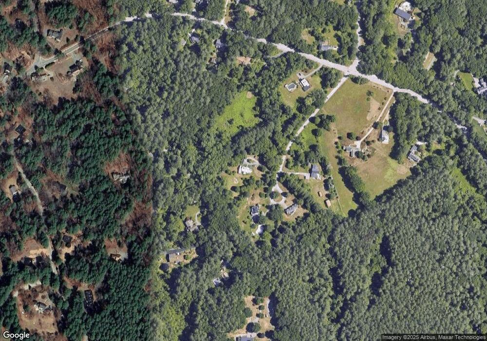
Map
Nearby Homes
- 82 Chestnut Ln
- 373 E Riding Dr
- 9 Kay's Walk
- 1090 North Rd
- 14 Kay's Walk
- 84 Craigie Cir
- 5 Lowell St Unit 5
- 125 Maple St
- 21 Woodside Rd
- 43 Outlook Rd
- 6 Edgehill Rd
- 31 Aaron Way
- 258 Virginia Farme Ln
- 69 Long Ridge Rd
- 80 Daniels Ln
- 12 Martin St
- 24 Algonquin Rd
- 216 Rangeway Rd Unit 133
- 216 Rangeway Rd Unit 164
- 216 Rangeway Rd Unit 192
Your Personal Tour Guide
Ask me questions while you tour the home.