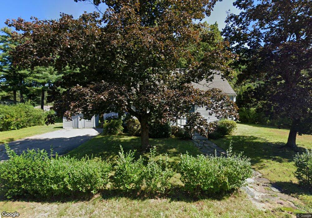
94 Hamilton Rd Wrentham, MA 02093
Estimated Value: $491,000 - $557,000
4
Beds
1
Bath
1,262
Sq Ft
$416/Sq Ft
Est. Value
About This Home
This home is located at 94 Hamilton Rd, Wrentham, MA 02093 and is currently estimated at $525,067, approximately $416 per square foot. 94 Hamilton Rd is a home located in Norfolk County with nearby schools including Delaney Elementary School, Charles E Roderick, and Discovery Daycare Center.
Ownership History
Date
Name
Owned For
Owner Type
Purchase Details
Closed on
May 15, 1978
Bought by
Elliott Alexander J and Elliott Patricia E
Current Estimated Value
Create a Home Valuation Report for This Property
The Home Valuation Report is an in-depth analysis detailing your home's value as well as a comparison with similar homes in the area
Purchase History
| Date | Buyer | Sale Price | Title Company |
|---|---|---|---|
| Elliott Alexander J | -- | -- |
Source: Public Records
Mortgage History
| Date | Status | Borrower | Loan Amount |
|---|---|---|---|
| Open | Elliott Alexander J | $46,000 | |
| Closed | Elliott Alexander J | $55,000 |
Source: Public Records
Tax History
| Year | Tax Paid | Tax Assessment Tax Assessment Total Assessment is a certain percentage of the fair market value that is determined by local assessors to be the total taxable value of land and additions on the property. | Land | Improvement |
|---|---|---|---|---|
| 2025 | $5,767 | $497,600 | $289,600 | $208,000 |
| 2024 | $5,561 | $463,400 | $289,600 | $173,800 |
| 2023 | $5,202 | $412,200 | $263,300 | $148,900 |
| 2022 | $4,448 | $325,400 | $202,700 | $122,700 |
| 2021 | $4,626 | $328,800 | $212,400 | $116,400 |
| 2020 | $4,450 | $312,300 | $191,500 | $120,800 |
| 2019 | $4,113 | $291,300 | $176,800 | $114,500 |
| 2018 | $4,296 | $301,700 | $176,900 | $124,800 |
| 2017 | $4,064 | $285,200 | $173,500 | $111,700 |
| 2016 | $3,990 | $279,400 | $168,500 | $110,900 |
| 2015 | $3,886 | $259,400 | $162,000 | $97,400 |
| 2014 | $3,622 | $236,600 | $142,800 | $93,800 |
Source: Public Records
Map
Nearby Homes
- 15 Tilting Rock Rd
- 10 Nature View Dr
- 15 Nature View Dr
- 282 Thurston St
- 576 Dedham St
- 1 Weber Farm Rd Unit 1
- 4 Weber Farm Rd Unit 4
- 6 Weber Farm Rd Unit 6
- 11 Weber Farm Rd Unit 11
- 135 Creek St Unit 2
- 8 Weber Farm Rd Unit 8
- 483 Thurston St
- 30 Weber Farm Rd Unit 30
- 3 Earle Stewart Ln
- 2 Earle Stewart Ln
- 25 Foxboro Rd
- 12 Earle Stewart Ln
- 10 Earle Stewart Ln Unit Lot 5
- 500 Franklin St
- 9 Sharon Ave
- 86 Hamilton Rd
- 102 Hamilton Rd
- 93 Hamilton Rd
- 101 Hamilton Rd
- 83 Hamilton Rd
- 78 Hamilton Rd
- 110 Hamilton Rd
- 109 Hamilton Rd
- 35 Trafalgar Square
- 75 Hamilton Rd
- 45 Trafalgar Square
- 223 Janice Cir
- 70 Hamilton Rd
- 67 Hamilton Rd
- 25 Trafalgar Square
- 124 Hamilton Rd
- 62 Hamilton Rd
- 121 Hamilton Rd
- 215 Janice Cir
- 226 Janice Cir
Your Personal Tour Guide
Ask me questions while you tour the home.