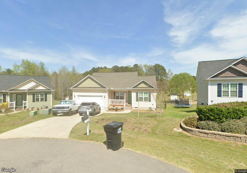
94 Inkberry Place Angier, NC 27501
Pleasant Grove NeighborhoodEstimated Value: $304,000 - $328,438
3
Beds
2
Baths
1,625
Sq Ft
$195/Sq Ft
Est. Value
About This Home
This home is located at 94 Inkberry Place, Angier, NC 27501 and is currently estimated at $316,110, approximately $194 per square foot. 94 Inkberry Place is a home with nearby schools including McGee's Crossroads Elementary School, McGee's Crossroads Middle School, and West Johnston High School.
Ownership History
Date
Name
Owned For
Owner Type
Purchase Details
Closed on
May 30, 2017
Sold by
On Top Building Co Llc
Bought by
Litka Richard Spencer and Litka Amber Dawn
Current Estimated Value
Home Financials for this Owner
Home Financials are based on the most recent Mortgage that was taken out on this home.
Original Mortgage
$172,907
Outstanding Balance
$144,058
Interest Rate
4.08%
Mortgage Type
New Conventional
Estimated Equity
$172,052
Create a Home Valuation Report for This Property
The Home Valuation Report is an in-depth analysis detailing your home's value as well as a comparison with similar homes in the area
Home Values in the Area
Average Home Value in this Area
Purchase History
| Date | Buyer | Sale Price | Title Company |
|---|---|---|---|
| Litka Richard Spencer | $171,500 | None Available |
Source: Public Records
Mortgage History
| Date | Status | Borrower | Loan Amount |
|---|---|---|---|
| Open | Litka Richard Spencer | $172,907 |
Source: Public Records
Tax History Compared to Growth
Tax History
| Year | Tax Paid | Tax Assessment Tax Assessment Total Assessment is a certain percentage of the fair market value that is determined by local assessors to be the total taxable value of land and additions on the property. | Land | Improvement |
|---|---|---|---|---|
| 2025 | $1,952 | $307,460 | $60,000 | $247,460 |
| 2024 | $1,636 | $202,010 | $36,000 | $166,010 |
| 2023 | $1,576 | $202,010 | $36,000 | $166,010 |
| 2022 | $1,656 | $202,010 | $36,000 | $166,010 |
| 2021 | $1,616 | $202,010 | $36,000 | $166,010 |
| 2020 | $1,677 | $202,010 | $36,000 | $166,010 |
| 2019 | $1,677 | $202,010 | $36,000 | $166,010 |
| 2018 | $1,384 | $162,830 | $23,030 | $139,800 |
| 2017 | $196 | $23,030 | $23,030 | $0 |
Source: Public Records
Map
Nearby Homes
- 139 Bounty Cir
- Davidson Plan at Cedar Ridge
- Cypress Plan at Cedar Ridge
- McDowell Plan at Cedar Ridge
- Hamilton Plan at Cedar Ridge
- Colfax Plan at Cedar Ridge
- Edgefield Plan at Cedar Ridge
- Cooper Plan at Cedar Ridge
- Wescott Plan at Cedar Ridge
- 264 Harbor Cove Dr
- 156 Harbor Cove Dr
- 3361 Old Fairground Rd
- 506 Harbor Cove Dr
- 120 Massengill Pond Rd
- 81 Pinon Dr
- 105 Pinecrest Dr
- 38.2 Acres Wiggins Rd
- 0 Massengill Pond Rd
- 197 Silverside Dr
- 100 Pine Needle Dr
- 82 Inkberry Place
- 101 Inkberry Place
- 64 Inkberry Place
- 100 Inkberry Place
- 89 Inkberry Place
- 46 Inkberry Place
- 69 Inkberry Place
- 55 Inkberry Place
- 55 Inkberry Place
- 30 Inkberry Place
- 25 Inkberry Place
- 119 Savannah Ridge Ct
- 25 Inkberry Place
- 107 Savannah Ridge Ct
- 14 Inkberry Place
- 4000 Old Fairground Rd
- 104 Andorra Place
- 89 Savannah Ridge Ct
- 55 Savannah Ridge Ct
- 123 Savannah Ridge Ct