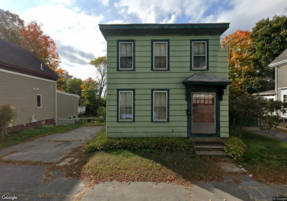
94 Laurel Ave Unit 1,2 Haverhill, MA 01835
Central Bradford NeighborhoodEstimated Value: $593,083 - $737,000
2
Beds
1
Bath
900
Sq Ft
$728/Sq Ft
Est. Value
About This Home
This home is located at 94 Laurel Ave Unit 1,2, Haverhill, MA 01835 and is currently estimated at $655,521, approximately $728 per square foot. 94 Laurel Ave Unit 1,2 is a home located in Essex County with nearby schools including Greenleaf Academy, Bradford Elementary School, and Haverhill High School.
Ownership History
Date
Name
Owned For
Owner Type
Purchase Details
Closed on
Mar 22, 2024
Sold by
Divincenzo Loreto J Est and Paolino
Bought by
Lmn Capital Llc
Current Estimated Value
Home Financials for this Owner
Home Financials are based on the most recent Mortgage that was taken out on this home.
Original Mortgage
$435,000
Outstanding Balance
$427,778
Interest Rate
6.64%
Mortgage Type
Commercial
Estimated Equity
$227,743
Create a Home Valuation Report for This Property
The Home Valuation Report is an in-depth analysis detailing your home's value as well as a comparison with similar homes in the area
Home Values in the Area
Average Home Value in this Area
Purchase History
| Date | Buyer | Sale Price | Title Company |
|---|---|---|---|
| Lmn Capital Llc | $370,000 | None Available | |
| Lmn Capital Llc | $370,000 | None Available |
Source: Public Records
Mortgage History
| Date | Status | Borrower | Loan Amount |
|---|---|---|---|
| Open | Lmn Capital Llc | $435,000 | |
| Closed | Lmn Capital Llc | $435,000 |
Source: Public Records
Tax History Compared to Growth
Tax History
| Year | Tax Paid | Tax Assessment Tax Assessment Total Assessment is a certain percentage of the fair market value that is determined by local assessors to be the total taxable value of land and additions on the property. | Land | Improvement |
|---|---|---|---|---|
| 2025 | $5,729 | $534,900 | $167,300 | $367,600 |
| 2024 | $3,923 | $368,700 | $167,300 | $201,400 |
| 2023 | $3,888 | $348,700 | $167,300 | $181,400 |
| 2022 | $3,805 | $299,100 | $151,900 | $147,200 |
| 2021 | $3,633 | $270,300 | $138,100 | $132,200 |
| 2020 | $3,892 | $286,200 | $133,500 | $152,700 |
| 2019 | $3,676 | $263,500 | $122,800 | $140,700 |
| 2018 | $3,536 | $248,000 | $116,600 | $131,400 |
| 2017 | $3,083 | $205,700 | $98,200 | $107,500 |
| 2016 | $3,160 | $205,700 | $98,200 | $107,500 |
| 2015 | $2,964 | $193,100 | $95,200 | $97,900 |
Source: Public Records
Map
Nearby Homes
- 15 Blossom St
- 219 River St
- 1 New Hampshire Ave
- 72 River St Unit 4
- 72 River St Unit 7
- 72 River St Unit 6
- 72 River St Unit 3
- 496 S Main St
- 335 Washington St Unit 335
- 8 Victoria Ct
- 39 Ayer St
- 374 River St
- 552 S Main St Unit 2
- 78 Lamoille Ave
- 80 Wingate St Unit 4C
- 80 Wingate St Unit 3C
- 80 Wingate St Unit 2F
- 2 Washington St Unit 201
- 455 Washington St
- 1 Marion St
- 94 Laurel Ave
- 92 Laurel Ave
- 98 Laurel Ave
- 88 Laurel Ave
- 84 Laurel Ave
- 93 Laurel Ave
- 97 Laurel Ave
- 99 Laurel Ave
- 2 S New St
- 87 Laurel Ave
- 83 Laurel Ave
- 83 Laurel Ave Unit 1
- 83 Laurel Ave Unit 2
- 82 Laurel Ave
- 103 Laurel Ave
- 78 Laurel Ave
- 81 Laurel Ave
- 79 Laurel Ave
- 107 Laurel Ave Unit 109
- 77 Laurel Ave