Estimated Value: $256,000 - $373,000
2
Beds
2
Baths
960
Sq Ft
$312/Sq Ft
Est. Value
About This Home
This home is located at 94 Lewiston Rd Unit 11, Gray, ME 04039 and is currently estimated at $299,388, approximately $311 per square foot. 94 Lewiston Rd Unit 11 is a home located in Cumberland County with nearby schools including Gray-New Gloucester High School and Fiddlehead School of Arts & Science.
Ownership History
Date
Name
Owned For
Owner Type
Purchase Details
Closed on
Apr 30, 2018
Sold by
Emerson Farrah L and Alley Corey L
Bought by
Clifford Gale P
Current Estimated Value
Purchase Details
Closed on
Jun 22, 2017
Sold by
Emerson Farrah L
Bought by
Alley Farrah L and Alley Corey L
Home Financials for this Owner
Home Financials are based on the most recent Mortgage that was taken out on this home.
Original Mortgage
$113,000
Interest Rate
3.29%
Mortgage Type
New Conventional
Purchase Details
Closed on
Jan 31, 2008
Sold by
Hogan Richard W and Hogan Amy K S
Bought by
Emerson Farrah L
Home Financials for this Owner
Home Financials are based on the most recent Mortgage that was taken out on this home.
Original Mortgage
$131,580
Interest Rate
6.18%
Mortgage Type
FHA
Create a Home Valuation Report for This Property
The Home Valuation Report is an in-depth analysis detailing your home's value as well as a comparison with similar homes in the area
Home Values in the Area
Average Home Value in this Area
Purchase History
| Date | Buyer | Sale Price | Title Company |
|---|---|---|---|
| Clifford Gale P | -- | -- | |
| Alley Farrah L | -- | -- | |
| Emerson Farrah L | -- | -- |
Source: Public Records
Mortgage History
| Date | Status | Borrower | Loan Amount |
|---|---|---|---|
| Previous Owner | Alley Farrah L | $113,000 | |
| Previous Owner | Emerson Farrah L | $131,580 |
Source: Public Records
Tax History
| Year | Tax Paid | Tax Assessment Tax Assessment Total Assessment is a certain percentage of the fair market value that is determined by local assessors to be the total taxable value of land and additions on the property. | Land | Improvement |
|---|---|---|---|---|
| 2025 | $2,363 | $244,100 | $80,000 | $164,100 |
| 2024 | $2,368 | $244,100 | $80,000 | $164,100 |
| 2023 | $2,493 | $164,200 | $40,000 | $124,200 |
| 2022 | $2,291 | $164,200 | $40,000 | $124,200 |
| 2021 | $2,064 | $141,300 | $40,000 | $101,300 |
| 2020 | $2,084 | $141,300 | $40,000 | $101,300 |
| 2019 | $2,084 | $141,300 | $40,000 | $101,300 |
| 2018 | $1,978 | $141,300 | $40,000 | $101,300 |
| 2017 | $1,939 | $107,400 | $35,000 | $72,400 |
| 2016 | $1,965 | $107,400 | $35,000 | $72,400 |
| 2015 | $1,955 | $107,400 | $35,000 | $72,400 |
| 2014 | $1,955 | $107,400 | $35,000 | $72,400 |
| 2012 | -- | $107,428 | $35,000 | $72,428 |
Source: Public Records
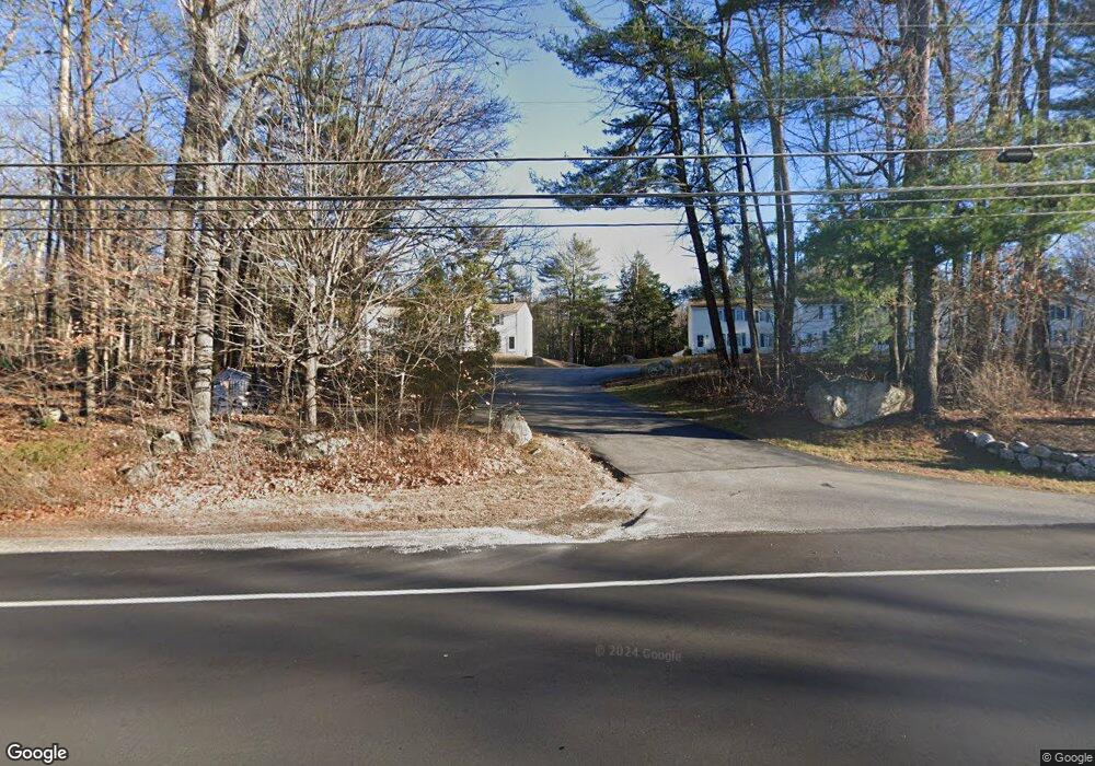
Map
Nearby Homes
- 2 Ethan Way
- 17 Callaway Dr Unit 17
- 52 Colley Hill Rd
- 0 Colley Hill Rd
- 3 First Mill Dr
- 0 Mayall
- 42 Wild Acres Rd
- 22 Gray Park
- 25 Yarmouth Rd
- 13 Yarmouth Rd
- 14 Yarmouth Rd
- 14 Woodcock Dr
- 22 Woodcock Dr
- 60 Woodcock Dr
- 15 Woodcock Dr
- 19 Woodcock Dr
- Lot 21-29 Weymouth Rd
- 27 Bull Run
- 224 Shaker Rd
- 72 Shaw Brook Ln
- 94 Lewiston Rd Unit 14
- 94 Lewiston Rd Unit 13
- 94 Lewiston Rd Unit 12
- 94 Lewiston Rd Unit 10
- 94 Lewiston Rd Unit 9
- 94 Lewiston Rd Unit 7
- 94 Lewiston Rd Unit 6
- 94 Lewiston Rd Unit 5
- 94 Lewiston Rd Unit 4
- 94 Lewiston Rd Unit 3
- 94 Lewiston Rd Unit 2
- 94 Lewiston Rd Unit 1
- 89 Lewiston Rd
- 84 Lewiston Rd
- 87 Lewiston Rd
- 0 Route 100 26 Unit 1004672
- 0 Route 100 26 Unit 1038713
- 104 Lewiston Rd
- 104 B Lewiston Rd
- 81 Lewiston Rd
Your Personal Tour Guide
Ask me questions while you tour the home.