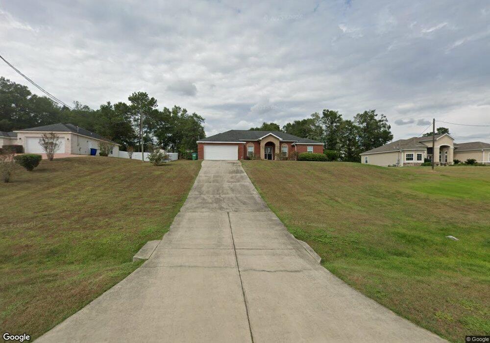
94 Mae Cato Dr Unit 1 Midway, FL 32343
Estimated Value: $291,000 - $307,000
3
Beds
2
Baths
1,754
Sq Ft
$169/Sq Ft
Est. Value
About This Home
This home is located at 94 Mae Cato Dr Unit 1, Midway, FL 32343 and is currently estimated at $296,164, approximately $168 per square foot. 94 Mae Cato Dr Unit 1 is a home located in Gadsden County.
Ownership History
Date
Name
Owned For
Owner Type
Purchase Details
Closed on
Dec 10, 2013
Sold by
Scott Jerome
Bought by
Scott Shemeka
Current Estimated Value
Purchase Details
Closed on
Jun 2, 2009
Sold by
Jsr Construction & Development Inc
Bought by
Scott Jerome and Scott Shemeka
Home Financials for this Owner
Home Financials are based on the most recent Mortgage that was taken out on this home.
Original Mortgage
$187,272
Outstanding Balance
$117,301
Interest Rate
4.77%
Mortgage Type
Unknown
Estimated Equity
$178,863
Purchase Details
Closed on
Apr 24, 2009
Sold by
G & A Lloyd Llc
Bought by
Jsr Construction & Development Inc
Home Financials for this Owner
Home Financials are based on the most recent Mortgage that was taken out on this home.
Original Mortgage
$187,272
Outstanding Balance
$117,301
Interest Rate
4.77%
Mortgage Type
Unknown
Estimated Equity
$178,863
Create a Home Valuation Report for This Property
The Home Valuation Report is an in-depth analysis detailing your home's value as well as a comparison with similar homes in the area
Home Values in the Area
Average Home Value in this Area
Purchase History
| Date | Buyer | Sale Price | Title Company |
|---|---|---|---|
| Scott Shemeka | -- | None Available | |
| Scott Jerome | $163,600 | Choice Title Svc Of N Fl Inc | |
| Jsr Construction & Development Inc | $24,000 | Attorney |
Source: Public Records
Mortgage History
| Date | Status | Borrower | Loan Amount |
|---|---|---|---|
| Open | Scott Jerome | $187,272 | |
| Previous Owner | Jsr Construction & Development Inc | $148,000 |
Source: Public Records
Tax History Compared to Growth
Tax History
| Year | Tax Paid | Tax Assessment Tax Assessment Total Assessment is a certain percentage of the fair market value that is determined by local assessors to be the total taxable value of land and additions on the property. | Land | Improvement |
|---|---|---|---|---|
| 2025 | $2,048 | $151,674 | -- | -- |
| 2024 | $1,976 | $147,400 | -- | -- |
| 2023 | $1,921 | $143,107 | $0 | $0 |
| 2022 | $1,847 | $138,939 | $0 | $0 |
| 2021 | $1,810 | $134,893 | $0 | $0 |
| 2020 | $1,771 | $133,031 | $0 | $0 |
| 2019 | $1,745 | $130,040 | $0 | $0 |
| 2018 | $1,746 | $127,615 | $0 | $0 |
| 2017 | $1,699 | $124,990 | $0 | $0 |
| 2016 | $1,670 | $122,419 | $0 | $0 |
| 2015 | $1,653 | $121,568 | $0 | $0 |
| 2014 | $1,608 | $120,603 | $0 | $0 |
Source: Public Records
Map
Nearby Homes
- 7 Mae Cato Dr
- 50 Frank Run
- 315 Mae Cato Dr
- 62 Frank Run
- 49 Francis Harrell Way
- 407 Mae Cato Dr
- 65 Deloris Madison Dr
- 137 Monroe Creek Dr
- 420 N Charles Willis Dr
- 8873 High Bridge Rd
- 8877 High Bridge Rd
- 17 Pine Bark Ln
- 25 Pine Bark Ln
- 6 Slash Ln
- 81 Knight Rd
- 274 Forest Cir S
- 69 Buckskin Cir
- 0 Central Rd Unit 381525
- 668 M l King Blvd
- XX S Lanier Rd
- 94 Mae Cato Dr
- 116 Mae Cato Dr Unit 1
- 116 Mae Cato Dr
- 31 James Hinson Dr
- 142 Mae Cato Dr Unit 1
- 142 Mae Cato Dr
- 1F James Hinson Unit 2
- 71 James Hinson Dr
- 1539 Rustling Pines Blvd
- 1559 Rustling Pines Blvd
- 46 Mae Cato Dr Unit 1
- 46 Mae Cato Dr
- 1581 Rustling Pines Blvd
- 160 Mae Cato Dr Unit 1
- 160 Mae Cato Dr
- 28 Mae Cato Dr Unit 1
- 28 Mae Cato Dr
- 1495 Rustling Pines Blvd
- 1603 Rustling Pines Blvd
- 1479 Rustling Pines Blvd