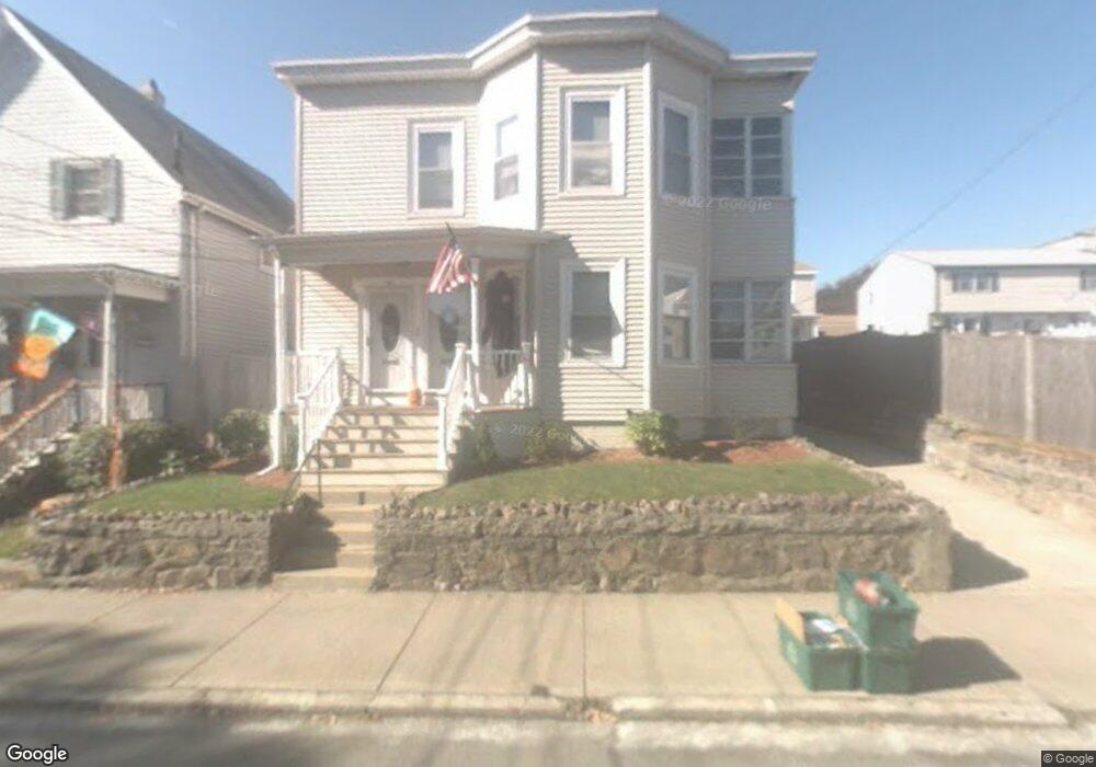
94 Myrtle St Unit 96 Lynn, MA 01905
Lower Boston Street NeighborhoodEstimated Value: $514,000 - $822,000
4
Beds
2
Baths
2,454
Sq Ft
$297/Sq Ft
Est. Value
About This Home
This home is located at 94 Myrtle St Unit 96, Lynn, MA 01905 and is currently estimated at $727,925, approximately $296 per square foot. 94 Myrtle St Unit 96 is a home located in Essex County with nearby schools including North Park Elementary School, Lincoln-Thomson Elementary School, and William R. Fallon School.
Ownership History
Date
Name
Owned For
Owner Type
Purchase Details
Closed on
Jan 2, 2001
Sold by
Sullivan H Jane
Bought by
Hogan Thomas J and Hogan Richard J
Current Estimated Value
Purchase Details
Closed on
May 24, 1991
Sold by
Sullivan James Joseph
Bought by
Sullivan Daniel X
Create a Home Valuation Report for This Property
The Home Valuation Report is an in-depth analysis detailing your home's value as well as a comparison with similar homes in the area
Home Values in the Area
Average Home Value in this Area
Purchase History
| Date | Buyer | Sale Price | Title Company |
|---|---|---|---|
| Hogan Thomas J | $180,000 | -- | |
| Hogan Thomas J | $180,000 | -- | |
| Sullivan Daniel X | $60,000 | -- | |
| Sullivan Daniel X | $60,000 | -- |
Source: Public Records
Mortgage History
| Date | Status | Borrower | Loan Amount |
|---|---|---|---|
| Open | Sullivan Daniel X | $153,611 | |
| Closed | Sullivan Daniel X | $181,500 | |
| Closed | Sullivan Daniel X | $176,000 |
Source: Public Records
Tax History Compared to Growth
Tax History
| Year | Tax Paid | Tax Assessment Tax Assessment Total Assessment is a certain percentage of the fair market value that is determined by local assessors to be the total taxable value of land and additions on the property. | Land | Improvement |
|---|---|---|---|---|
| 2025 | $7,872 | $759,873 | $230,000 | $529,873 |
| 2024 | $7,307 | $693,900 | $202,000 | $491,900 |
| 2023 | $7,443 | $667,500 | $208,700 | $458,800 |
| 2022 | $7,232 | $581,800 | $154,500 | $427,300 |
| 2021 | $6,839 | $524,900 | $142,100 | $382,800 |
| 2020 | $6,424 | $479,400 | $136,700 | $342,700 |
| 2019 | $6,269 | $438,400 | $128,800 | $309,600 |
| 2018 | $6,152 | $406,100 | $142,100 | $264,000 |
| 2017 | $5,689 | $364,700 | $118,100 | $246,600 |
| 2016 | $5,344 | $330,300 | $110,500 | $219,800 |
| 2015 | $5,139 | $306,800 | $109,700 | $197,100 |
Source: Public Records
Map
Nearby Homes
- 92-94 Newton Ave
- 28 Wyman St
- 110 Holyoke St
- 268 Walnut St
- 35 Curran Rd
- 100 Ashland St
- 14 Atkinson St
- 447 Boston St
- 32 Birch Brook Rd Unit 27
- 32 Birch Brook Rd Unit 16
- 32 Birch Brook Rd Unit 1
- 32 Birch Brook Rd Unit 25
- 32 Birch Brook Rd Unit 22
- 32 Birch Brook Rd Unit 28
- 79 Laurel St
- 20 Murray St
- 86 Laurel St
- 10 Carnes St
- 19 Hood St
- 45 Cottage St Unit 3